Canada’s Most Accurate Boat Speedometer App
Track Your Boat Speed with GPS Precision + Navigate Canadian Waters Safely
Get real-time boat speed tracking combined with complete marine navigation for Canadian waters. Wavve provides accurate GPS speedometer functionality plus CHS charts, draft-aware depth shading, tides, and weather, all in one app.
Key Benefits:
- GPS Speed Tracking: Accurate real-time speed display using satellite positioning
- Complete Navigation: CHS charts covering all Canadian waters (Great Lakes, Pacific, Atlantic, inland)
- Draft-Aware Depth Shading: Safe vs shallow water shown automatically for your boat
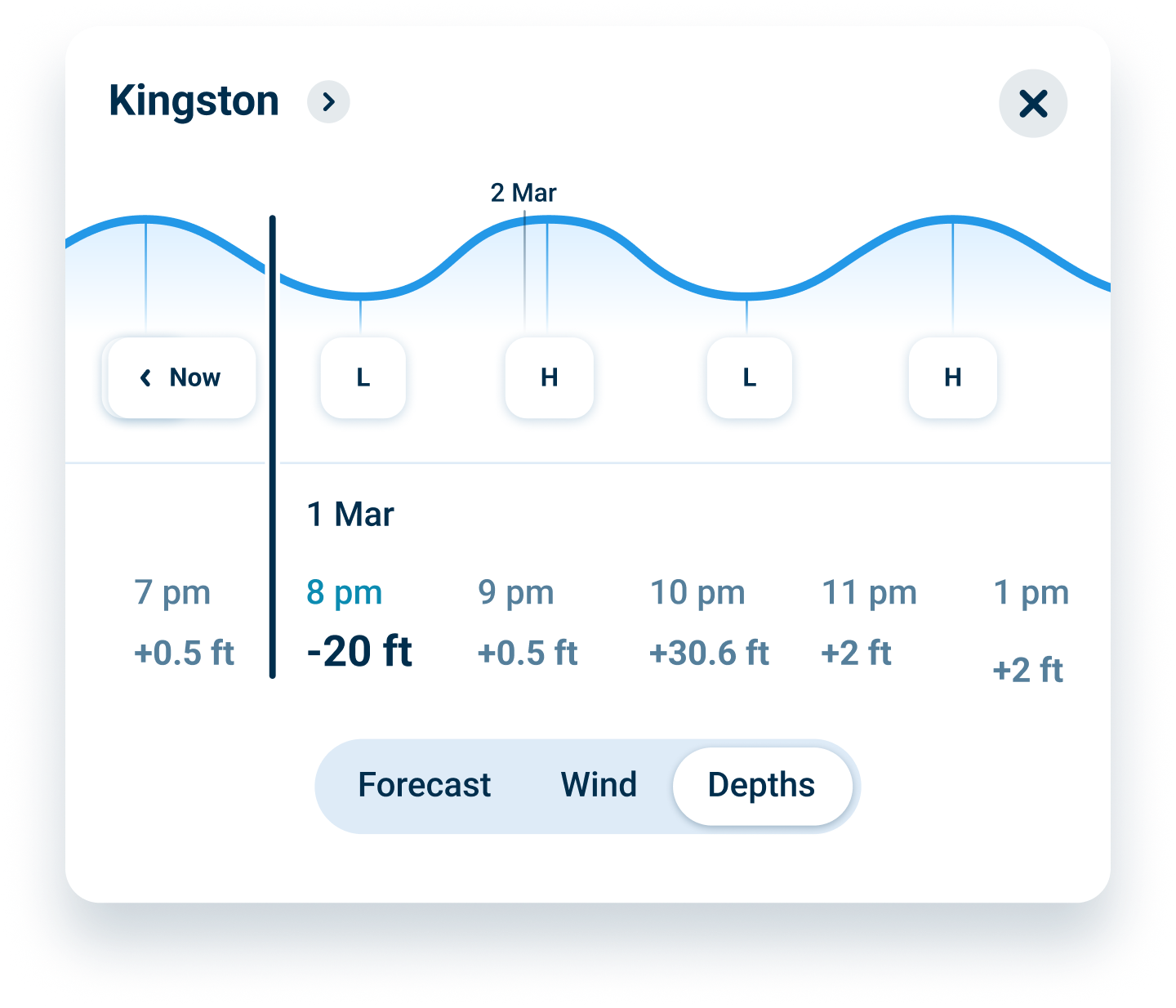
- Real-Time Tides: Hourly updates for coastal Canadian navigation
- 7-Day Weather Forecasts: Marine conditions layered on your charts
Why Wavve Is the Smart Choice for Canadian Boaters
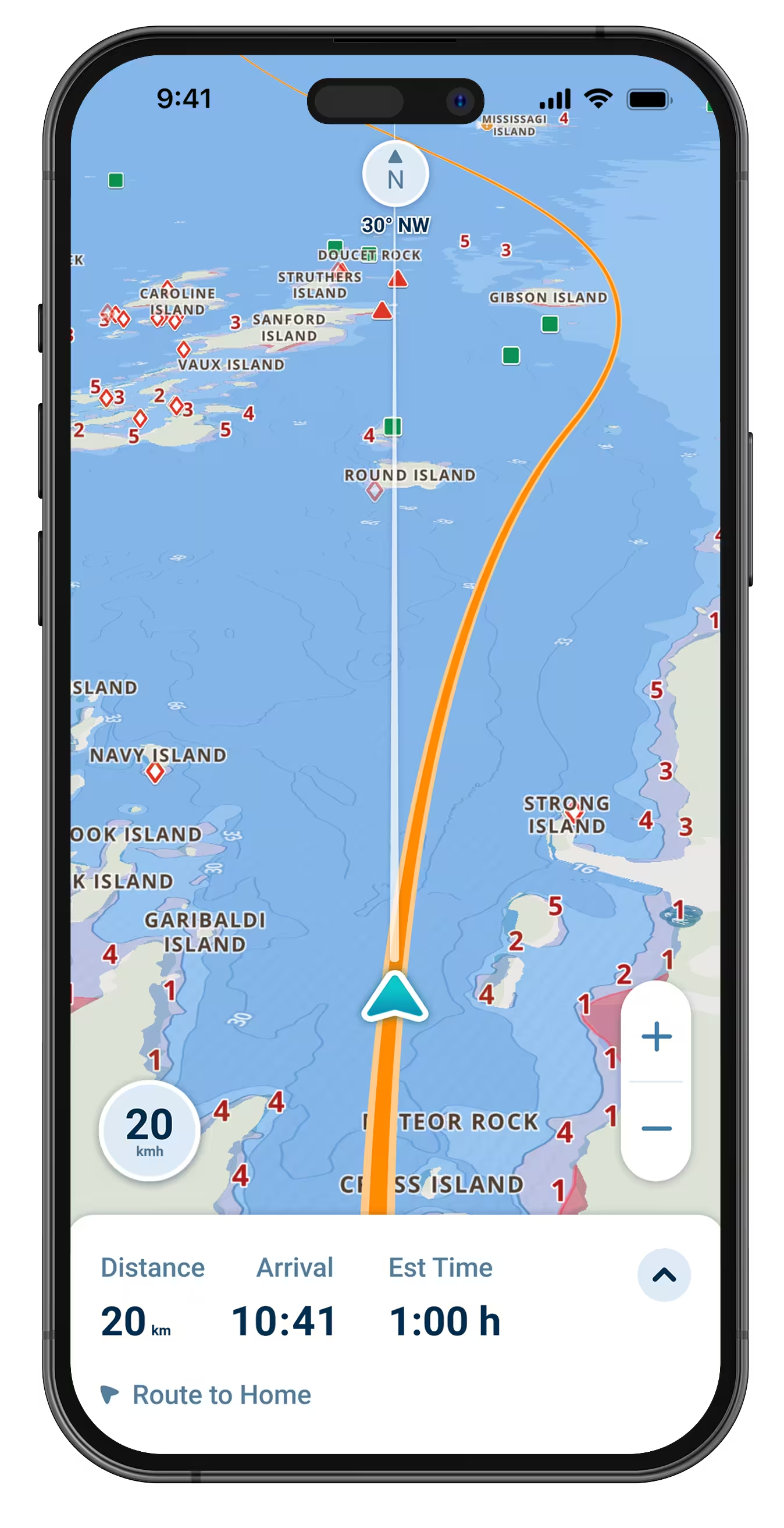
Basic speedometer apps only show speed. Wavve combines accurate GPS speed tracking with complete navigation capability designed for Canadian waters. Whether you’re boating on the Pacific Coast, the Great Lakes, or the Atlantic, Wavve gives you access to water depths, tides, wind conditions, and more.
Enter your boat’s draft once and charts automatically show safe (blue) versus shallow (red) areas accounting for real-time water levels. Speed tracking updates continuously using GPS satellite signals. No pitot tubes, no paddle wheels, just reliable positioning data.
Over one million boaters worldwide trust Wavve for navigation and speed awareness. One app handles everything Canadian boaters need without expensive hardware installations or multiple subscriptions.
How To Get Started

Download the App
Free to download on iOS and Android. Create your account to get started. Instant access to GPS speedometer and complete CHS chart coverage.

Get 14 Days Free
Full access to speed tracking, navigation, and all features with no upfront commitment. Test on actual trips before deciding.

See Your Speed + Navigate with Confidence
Full access to speed tracking, navigation, and all features with no commitment. Test on actual trips before deciding.
Accurate GPS Speedometer for Canadian Waters
GPS satellite positioning delivers reliable speed tracking without hardware sensors. See real-time speed updated continuously as you navigate Canadian waters, Great Lakes cruising, coastal passages, inland fishing. No calibration needed, no sensors to install.
CHS Chart Data + Draft-Aware Navigation
CHS coverage spans all Canadian waters. Enter your draft and charts automatically show where you can safely go right now based on current water levels. Blue zones = safe, red zones = too shallow. Updates hourly with tides.
Real-Time Weather + Great Lakes Water Levels
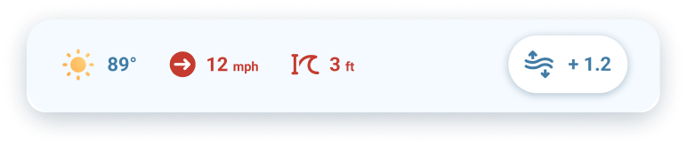
Seven-day marine forecasts layer directly on charts showing wind, waves, and conditions for your route. Great Lakes water levels integrate automatically. Plan trips around weather and navigate with current depth awareness.
FAQs
GPS speedometer accuracy depends on satellite signal quality. With clear sky view, expect accuracy within 0.1-0.3 knots under most conditions. GPS measures actual speed over ground using satellite positioning, more reliable than paddle wheel sensors affected by currents or fouling. The speedometer works anywhere GPS signal reaches without calibration or hardware installation.
Yes. GPS satellite signals work independently of cellular connectivity. Download chart regions before trips to remote areas. Speed tracking continues functioning completely offline using GPS positioning. All navigation features including draft-aware depths, waypoints, and routes work without cell service after downloading charts.
Absolutely. Wavve combines GPS speedometer functionality with complete marine navigation capability. One app provides real-time speed display, official CHS charts, draft-aware depth shading, tides, weather, and offline navigation. No need for separate speed apps and chart apps, everything works together seamlessly.
Yes. Great Lakes water levels integrate automatically with chart depths. The app shows real-time navigable areas accounting for current lake levels which fluctuate seasonally by several feet. This integration prevents groundings in bays and channels where static chart depths don’t reflect actual conditions.
Trial includes full access with no credit card required upfront. After 14 days, continue using Wavve for $69.99/year or $11.99/month. Cancel anytime before trial ends with no charges. No commitment, no hidden fees.
Yes. One subscription works on all your devices simultaneously, iPhone, iPad, Android phone, Android tablet. Download the app on each device, sign in with your account, and access all features. Speed tracking, charts, and settings sync automatically between devices.
For most recreational Canadian boaters, yes. Wavve provides GPS speed tracking and complete navigation on devices you already own. No expensive chartplotter purchases, no speedometer hardware installations, no professional setup fees. Mount your phone or tablet at the helm for functionality rivaling dedicated marine electronics at a fraction of the cost.
GPS Boat Speedometer That Actually Works in Canadian Waters
Paddle wheel sensors fail, pitot tubes clog, but GPS positioning delivers reliable speed tracking anywhere you boat. Wavve’s GPS speedometer works on Great Lakes, Pacific coast, Atlantic waters, and inland, no hardware, no calibration, just accurate real-time speed from satellite signals.
Speed Tracking + Complete Navigation for Canada in One App
Why run separate apps for speed and charts? Wavve combines GPS speedometer with CHS navigation, draft-aware safety, tides, and weather. One subscription, one interface, everything Canadian boaters need for confident speed awareness and safe navigation.
Draft-Aware Boat Speedometer App Canada Boaters Trust
Speed matters, but so does depth. Wavve shows your current speed while automatically displaying safe versus shallow water for your boat. Track speed and navigate confidently knowing exactly where you can go based on draft and real-time Canadian water levels.
Real-Time Speed Display Without Expensive Marine Hardware
Traditional speedometers require sensors, installation, and calibration. Wavve’s GPS speedometer works instantly on your phone or tablet, no hardware purchases, no professional installation, no sensor maintenance. Get accurate speed plus complete navigation capability for far less than basic marine electronics.
Boat Speedometer App Canada’s Recreational Boaters Choose
Over 50,000 boaters worldwide rely on Wavve for speed tracking and navigation. Accurate GPS positioning, complete CHS charts, automated safety features, and offline capability make it the smart choice for Canadian waters. Free trial lets you test everything risk-free before committing.
Works Everywhere You Boat in Canada, Great Lakes to Coastal Waters
One app covers all Canadian boating. GPS speedometer functions on Lake Superior, Georgian Bay, Pacific coast passages, Atlantic harbors, St. Lawrence River, and every waterway between. CHS charts included with no regional restrictions or extra purchases.

Navigate Canadian Waters Safely: Start Your Free Trial
Join over one million boaters who trust Wavve for GPS speed tracking and complete marine navigation. See accurate real-time speed while navigating with draft-aware safety designed for Canadian waters.