An Affordable Marine Navigation App

Full marine navigation for recreational boaters in one membership: the charts, draft-based depth, routing, and weather, without buying a chartplotter.

Wavve Boating App Navigation

What Makes Wavve Affordable

Everything in One Membership

Charts, depth, routing, weather, and offline maps, with no chart packs or features to buy on top.

No Chartplotter to Buy

Full marine navigation on the phone or tablet you already own.

Shallow-Water Alerts

The app flags thinning water against the draft you entered, so it reaches you early.

Coverage Where You Boat

Chart data across thousands of lakes, rivers, and coastlines.

Try It Before You Pay a Cent

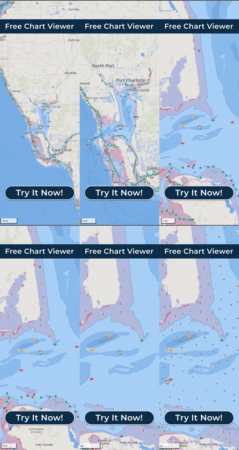
See the charts free in your browser, or take the full app for a spin on an Annual free trial first.
The Top-Rated, Affordable Marine Navigation App

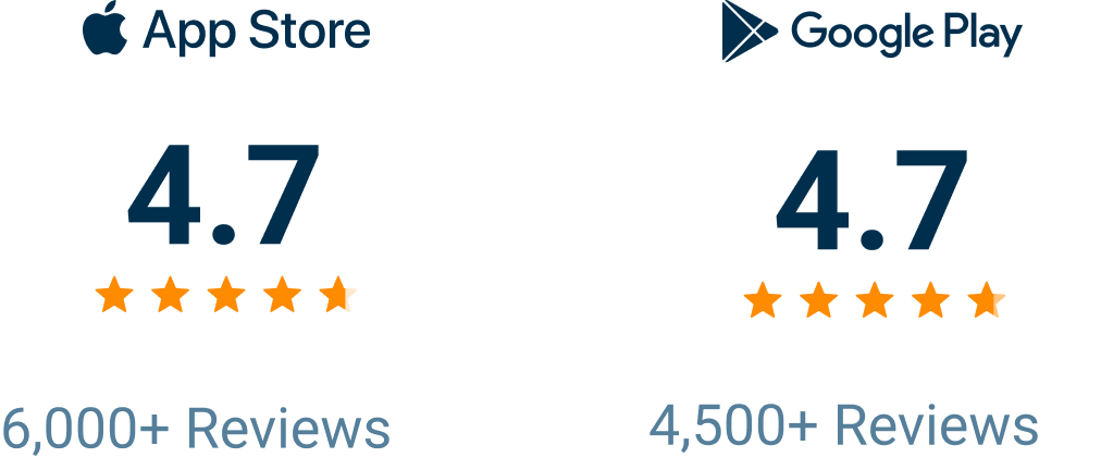
Wavve Boating Rating

Why Boaters Choose Wavve When Price Matters

A low price is only worth paying if the app behind it is real and complete, and Wavve Boating is both. One membership includes the whole app: the nautical charts, depth shading customized to your boat’s draft, AutoRouting, marine weather and wind, Offline Maps, and the community points that help you find a ramp or a fuel dock. Nothing is held back for a higher tier and there are no chart packs to add, so the price you see is the price for all of it. For most recreational boaters that beats the two usual options, a free app that quits the moment you leave the dock and a chartplotter that costs real money and stays bolted to one boat. Wavve runs on the phone or tablet already in your pocket, moves with you when you change boats, and keeps improving without new hardware, and an annual membership costs about what a boater might spend on a single traditional paper chart. The company behind it is not an unknown either. Wavve was built in 2018 by a lifelong boater, it is backed by a small team that tests it on the water dozens of times a year, and real people answer support seven days a week. It is the most-downloaded marine navigation app in the United States and Canada, and it reached that spot by passing Navionics. Wavve is a paid membership, not a free app, and that is exactly why it can be the complete tool a day on the water actually needs. If you would rather see it first, a free trial on the Annual membership and the browser-based Free Web Chart Viewer both let you look before you pay.

Everything You Get With Wavve Boating

Shallow-Water Alerts

A warning the moment you near water too thin for your boat, keyed to the draft you set.

Draft-Customizable Charts

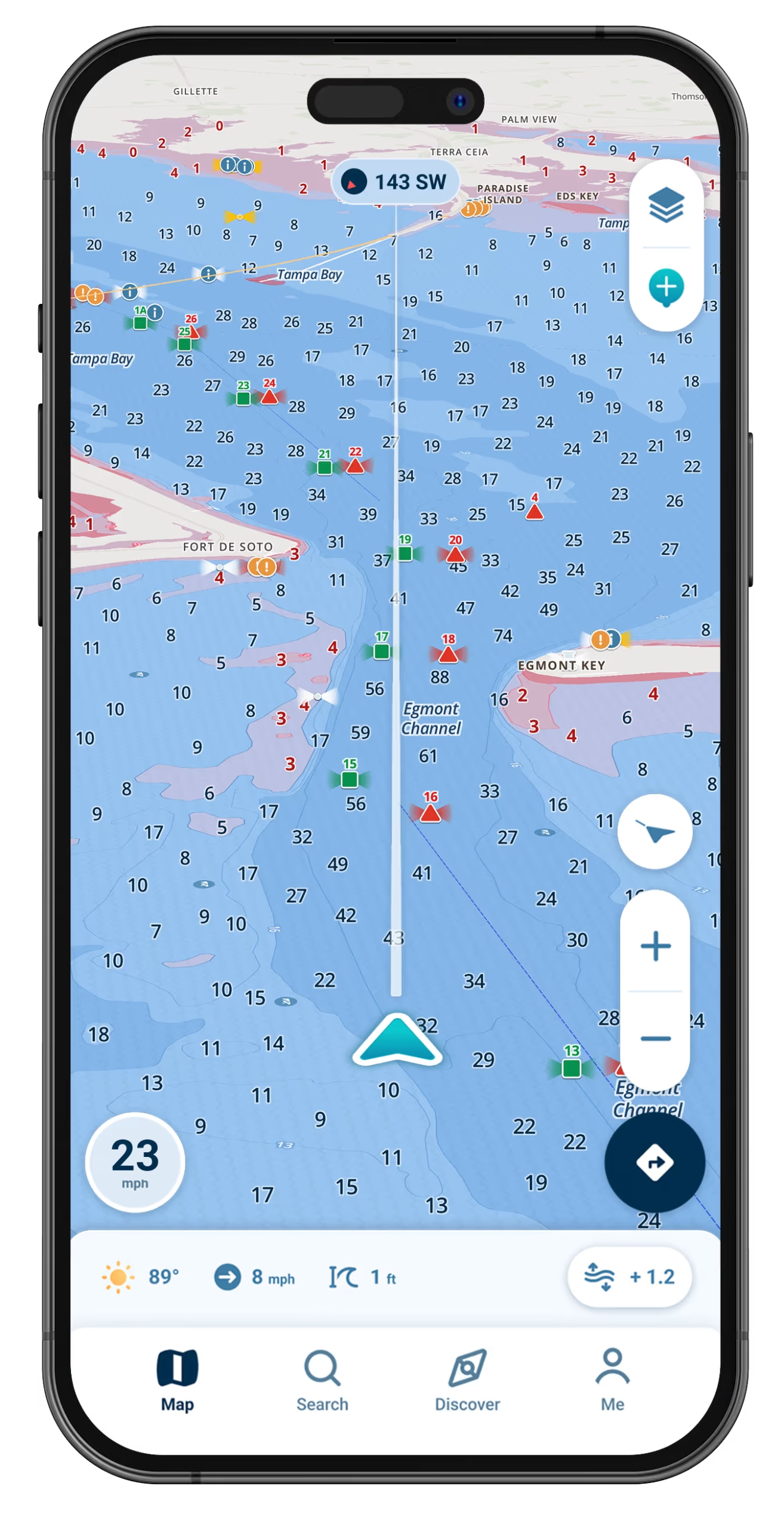
Enter the draft your boat sits at and the chart answers for your hull, marking the water that is runnable for you instead of the water that just happens to be deep.

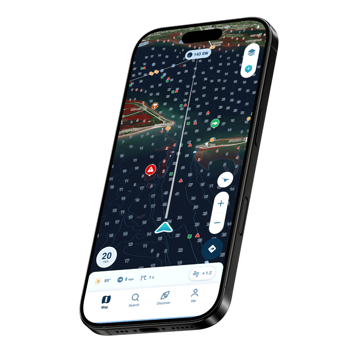
Depth Shading

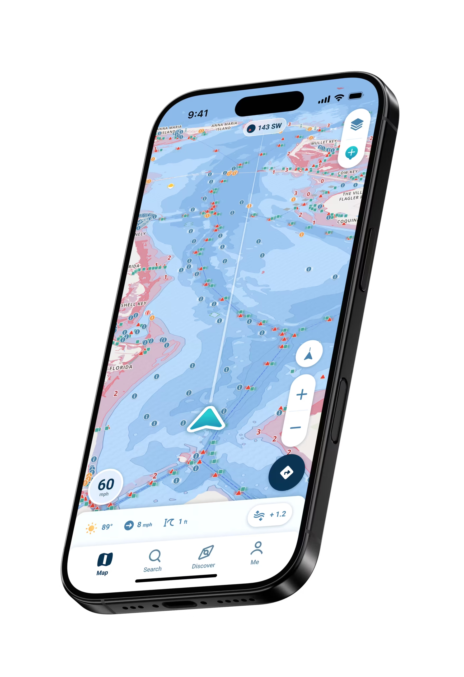
Red shading makes potentially shallow areas easy to spot at a glance.

Real-Time Tides and Water Levels

Depth that reflects today’s water, with Dynamic Depths updating as tides and water levels change.

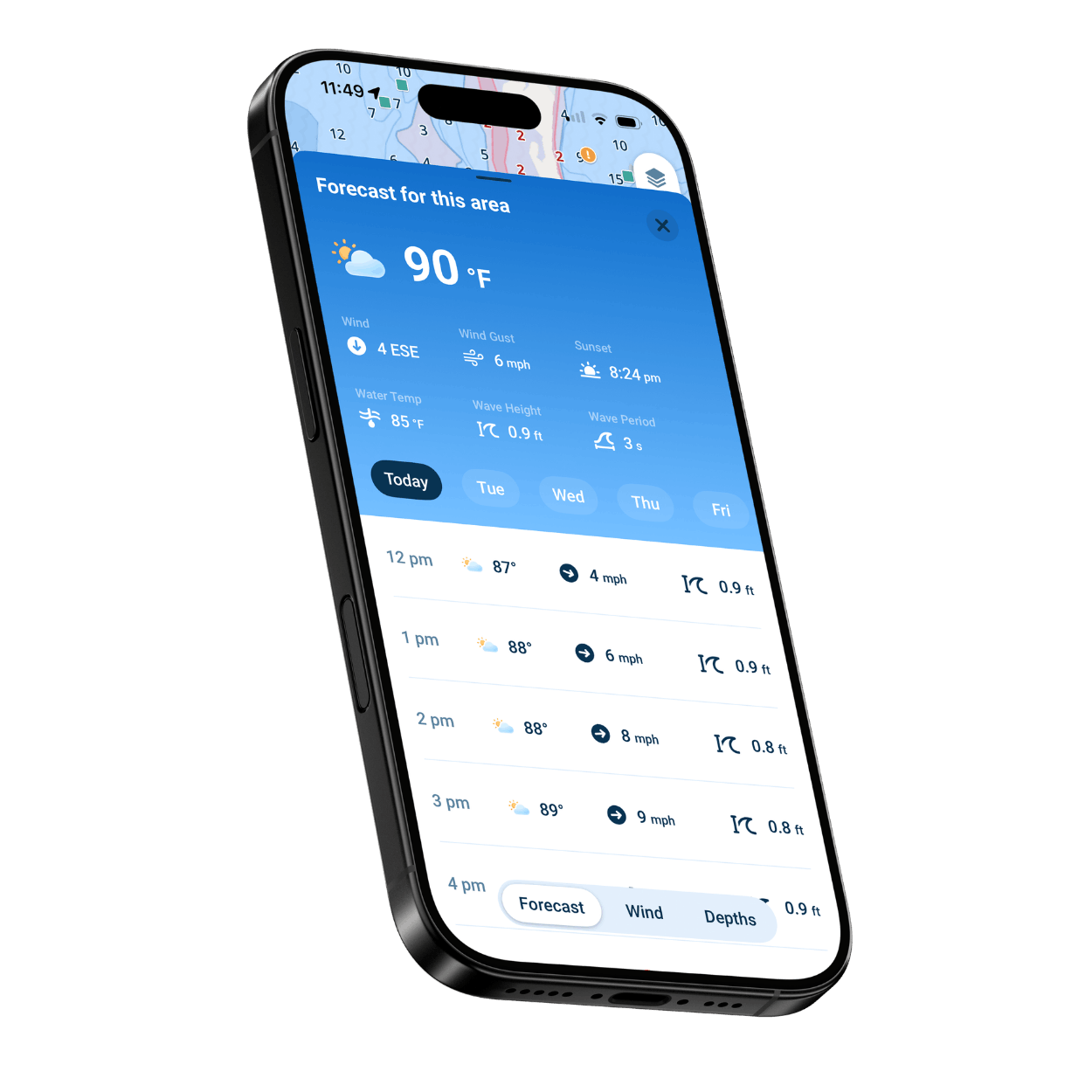
Weather and Wind Overlays

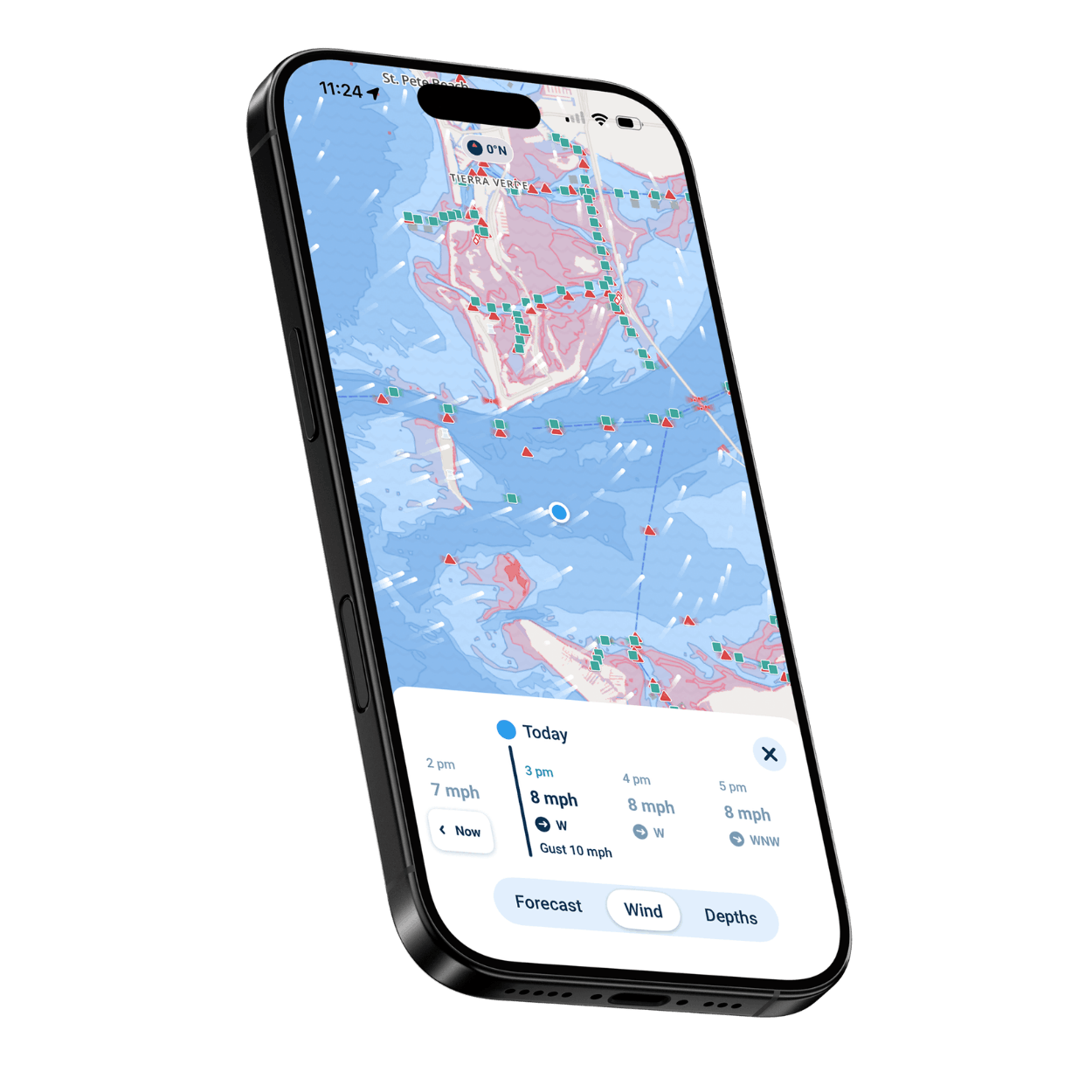
Live marine weather and wind, hour by hour across a seven-day forecast, with wind shown on the map.

Works Offline

Download your area with Offline Maps and your charts and GPS position keep working with no signal.

Who Gets the Most From Wavve

New and budget-minded boaters

A clear map you can read at a glance, so you get real navigation without paying for features you will never touch.

Boaters skipping the chartplotter

Full marine navigation on your phone instead of a dash full of electronics you have to buy and install.

Anglers and lake boaters

Depth shading and shallow-water alerts set to your draft, plus private spots and ramps, on the water you fish.

PWC and jet ski riders

The phone you already carry becomes your map, with the lowest commitment of any way to navigate.

Weekend and family boaters

Less time figuring out the water, more time on it, without a big upfront spend.

Boaters who switch boats or rent

Your account, routes, and saved spots travel with you from one boat to the next.
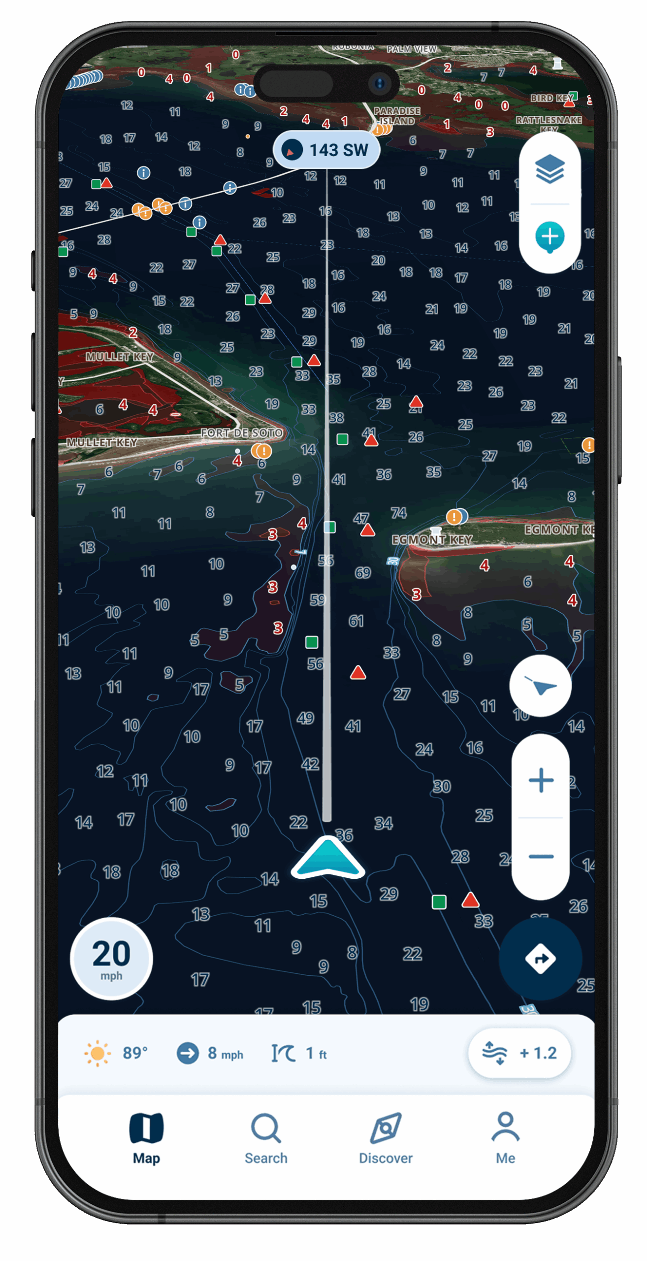
Wavve Boating Satellite View

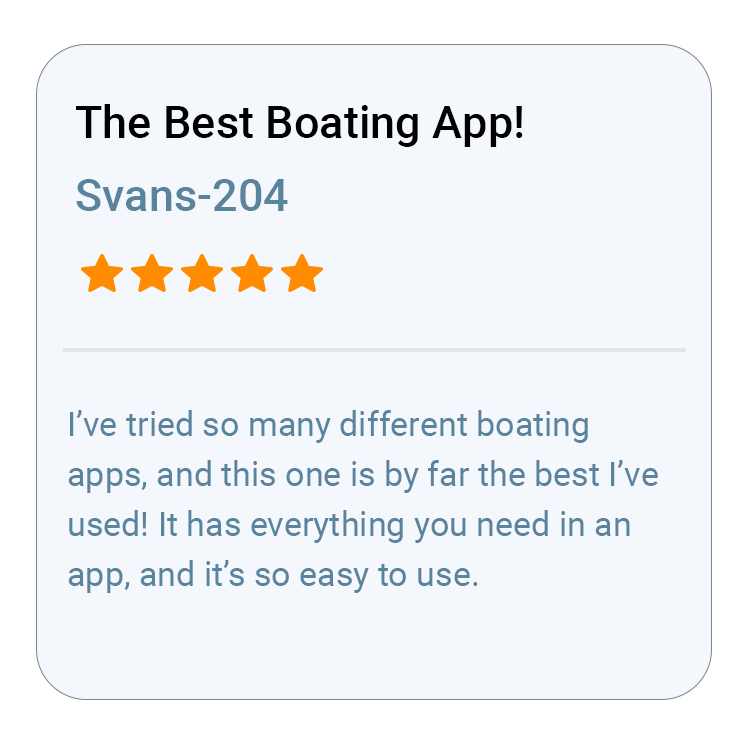
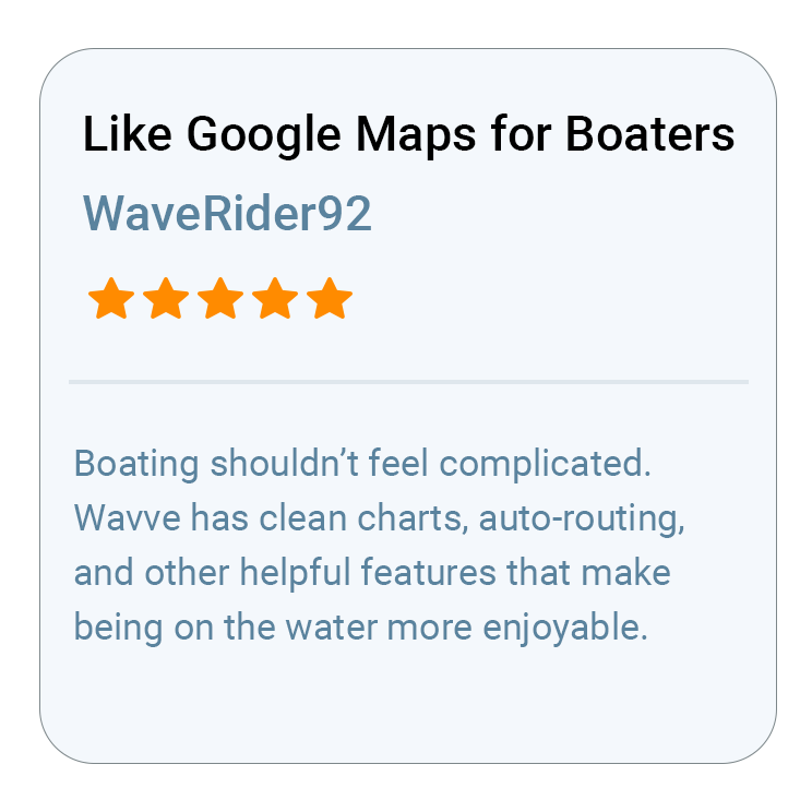
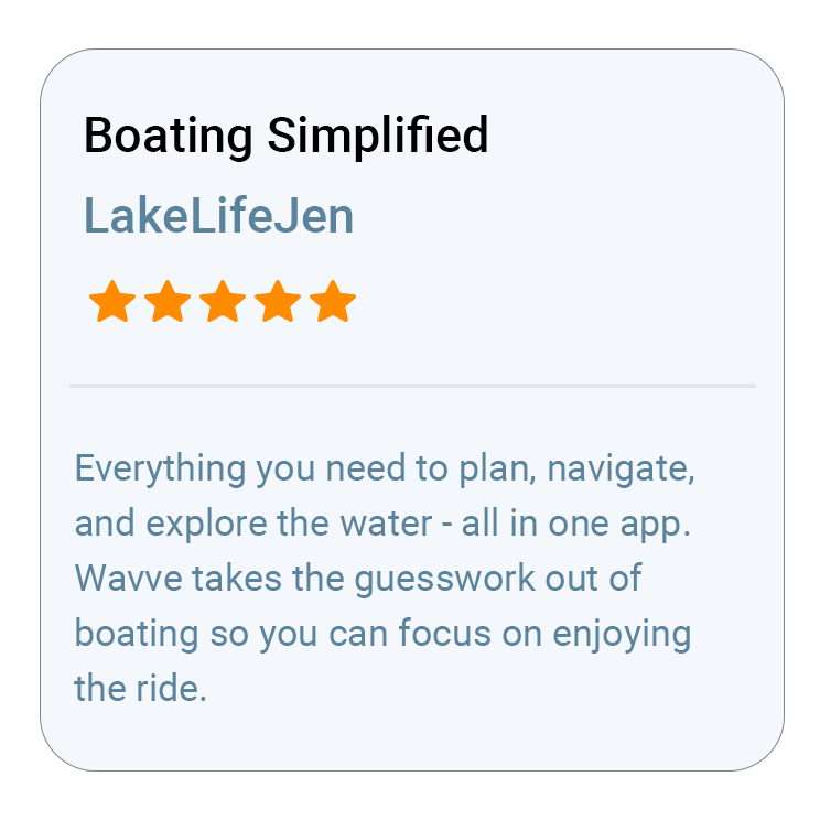
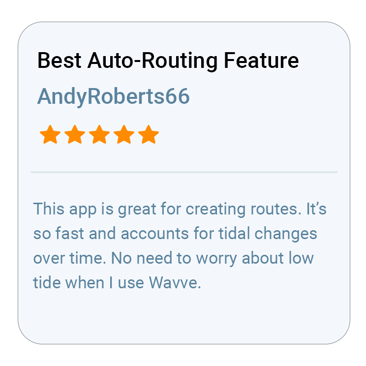
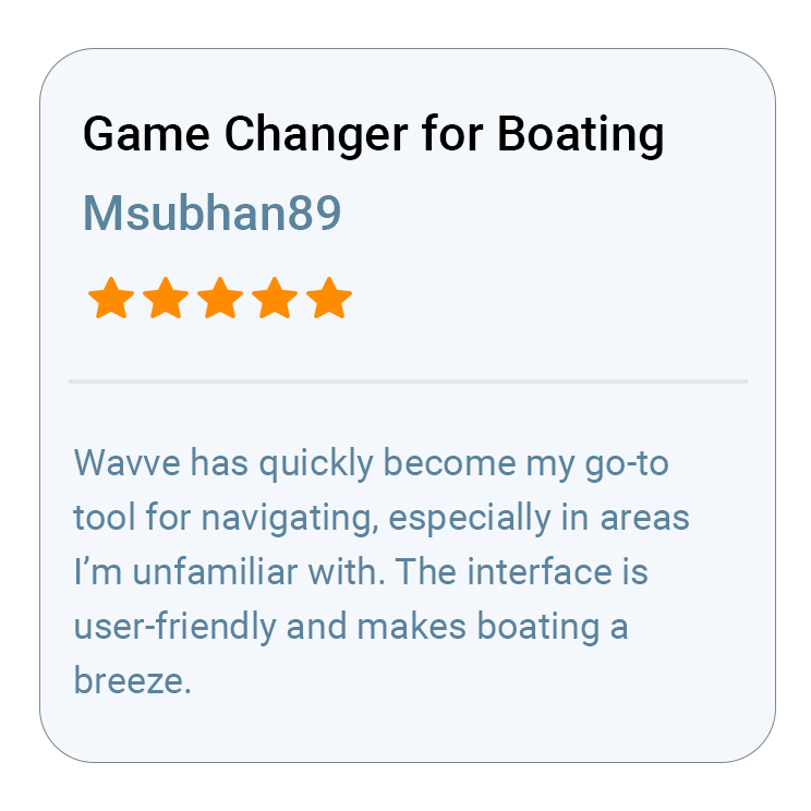
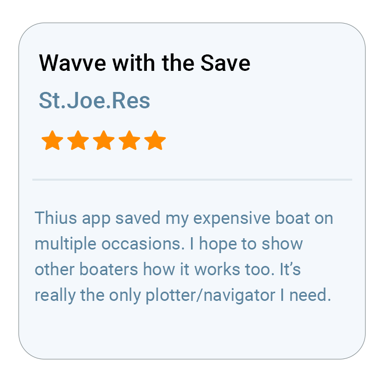
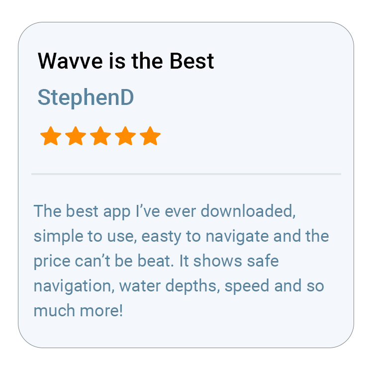
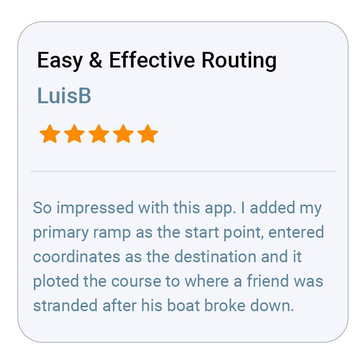
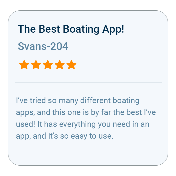
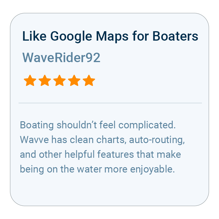
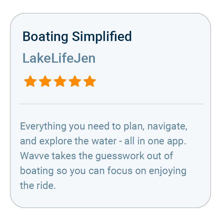
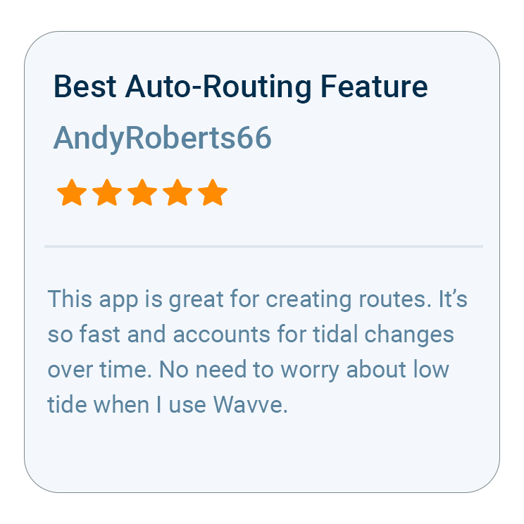
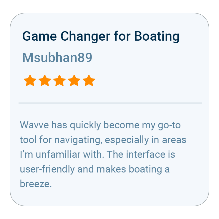
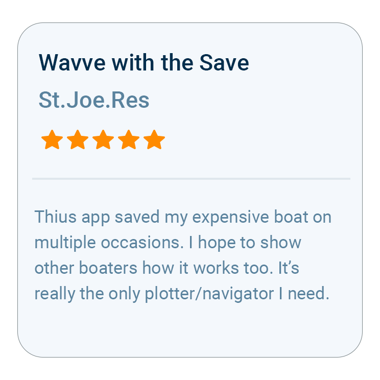
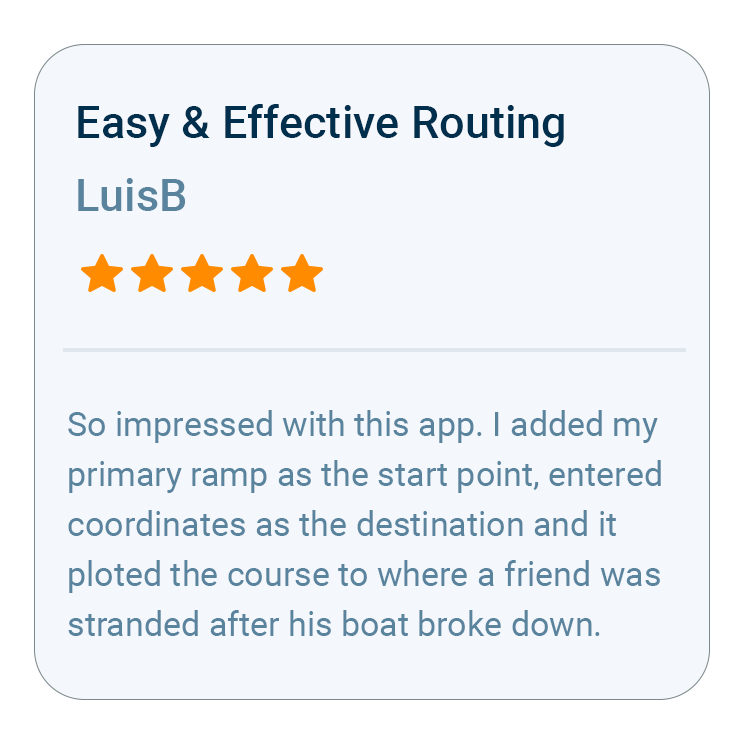
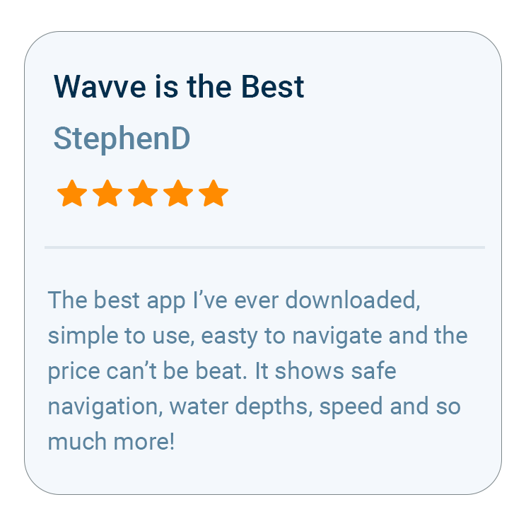
What Boaters Are Saying
Questions About Cost and Coverage

Wavve Boating is a paid membership, not a free app, so the whole app comes with it and no features sit behind extra purchases. Two things are genuinely free to start: a free trial on the Annual membership, and the Free Web Chart Viewer, which lets you explore the charts and plan a route in your browser on a desktop or laptop.
No. The nautical charts are part of the membership and cover your whole coverage area, with no regions sold separately and nothing to unlock later. Charts sold region by region are the hidden cost on a lot of cheaper apps, and it is the one Wavve does not have.
Yes. Download your area with Offline Maps before you leave service and the charts stay on your phone, and your GPS position keeps working with no signal. Live updates like weather and new area downloads need a connection, so set your area up before you go.
Wavve works on iPhone, iPad, Android phones and tablets, and the Apple Watch as a companion to the iPhone app, plus the Free Web Chart Viewer in a desktop or laptop browser. You need a GPS-capable device for on-water positioning, and your account moves with you between boats.
Free apps tend to stop short exactly where it matters, with thin coverage, no draft-based depth, and no routing or weather. Wavve puts all of that in one place and personalizes the map to your boat, which is the difference between a map you glance at and one you can run a real day on the water with.
No. The app does the navigating on the phone or tablet you already carry, so there is no dedicated unit to buy, wire in, or mount. Some boaters make it their main way to navigate and others keep it alongside a chartplotter as a backup in their pocket.

How To Get Started

Download_icon

Download Wavve Boating on iPhone, Android, or Tablet

Free to download on your iPhone, Android, or tablet.

no cost icon

Start Your Free Trial

Try Wavve Boating free and see it on the water before you commit.

Start Navigating Easily

Open the app, set your destination, and start navigating with confidence.

Trusted by Top Brands in Marine

Trusted by Marine Industry’s Top Brands

Why Wavve Is an Affordable Marine Navigation App

One Wavve Boating membership includes the charts, draft-based depth, routing, marine weather, and offline maps together, with no chart packs or premium tiers to buy on top. That matters because on a lot of cheaper boating apps the headline price is only the start, since the charts for your water get sold separately until the real total is nothing like the sticker. Wavve includes the charts for your entire coverage area, drawn from official and third-party sources, and every navigation feature belongs to that same membership rather than a higher tier. For a boater comparing what an affordable marine navigation app really costs, that single-membership structure is the whole difference, and you can open the charts free in the Free Web Chart Viewer or run everything on a free trial with the Annual membership before you decide.

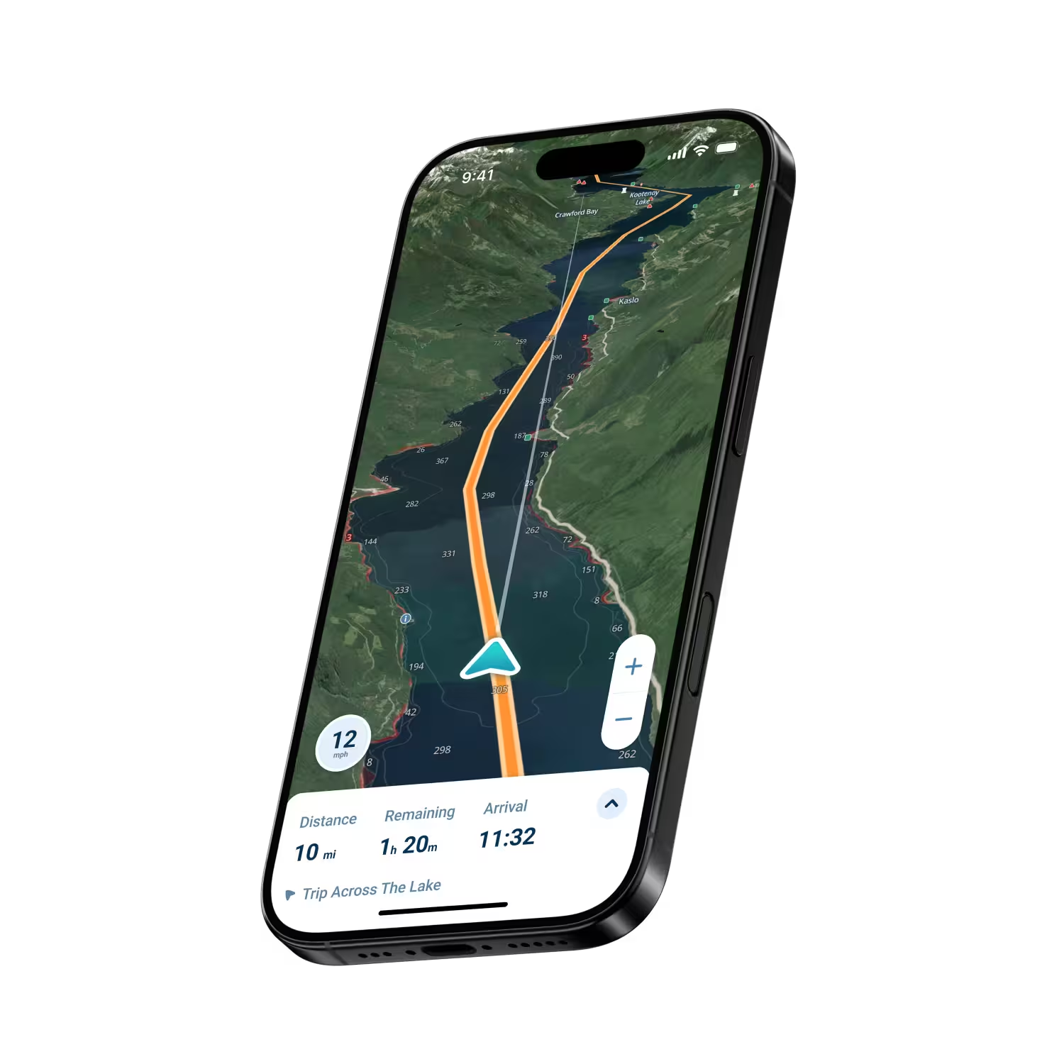
Wavve Boating App Satellite View

The Chartplotter-Free Way to Navigate

Skipping a chartplotter and still navigating properly works because Wavve Boating runs full marine navigation on the phone or tablet already in your pocket. A dedicated plotter is a real purchase before it is even wired in, and it stays with the one boat it is mounted on. The app carries the same core work: live GPS position on nautical charts, depth shading set to the draft you enter, AutoRouting through channels and around obstacles, marine weather and wind, and Offline Maps that hold your charts and position with no signal. Living on your phone, it comes along when you switch boats or climb onto a rental, and it keeps improving without a hardware upgrade. Boaters who already own a plotter tend to keep Wavve as a planning screen and a pocket backup, and how far it goes toward replacing the hardware depends on the kind of boating you do.

Coverage for the Water You Run

Wavve Boating carries chart data across thousands of lakes, rivers, and coastlines, drawn from official and third-party sources, and that coverage keeps expanding as new data is released. Coverage is what quietly decides whether an inexpensive app is worth it at all, since a low price means little if your water is not in the app. The useful question is whether your own lake or your stretch of the intracoastal is actually covered. Wavve answers that plainly instead of claiming it reaches everywhere, so what you pay for is chart coverage you can use where you boat. Where the data exists you also get the draft-based depth shading and the real-time water levels, so the money buys a depth picture of the water in front of you.

Check Your Water Before You Pay

Here is the free way to confirm Wavve Boating fits your water before you spend anything. Open the coverage map at wavveboating.com/map and search the lake, bay, river, or coast you run, and the map shows where Wavve has chart data and refreshes as new data goes live. On a bigger screen, the Free Web Chart Viewer does the same in a desktop or laptop browser, with no app and no account, and lets you plan a route while you are looking. When your water shows chart data, you also have the draft-based depth shading and Dynamic Depths that move with the tide once you are in the app. When it is not covered yet, send a coverage request, and Customer Success reaches out once that water comes online.

Wavve Boating Logo

Start Your Next Ride With Wavve

Join thousands of riders using Wavve Boating to explore new water, stay off the shallows, and navigate with confidence.

QR Code