Boat Route Planning

Plan Safe Routes with Automatic Draft-Aware Depth Shading & Real-Time Tide Integration

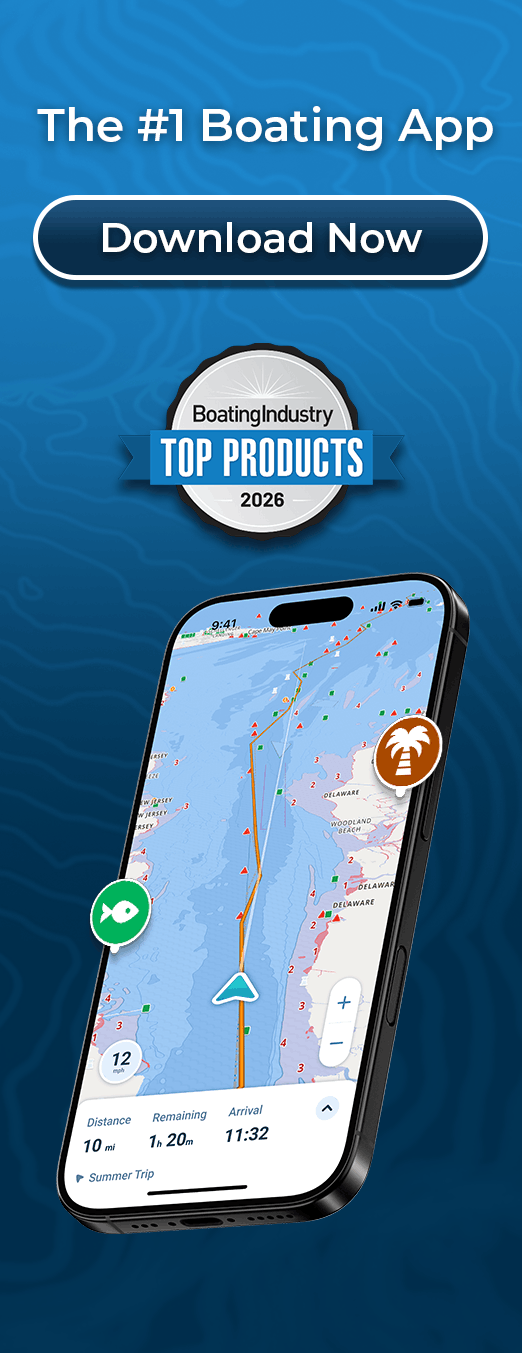
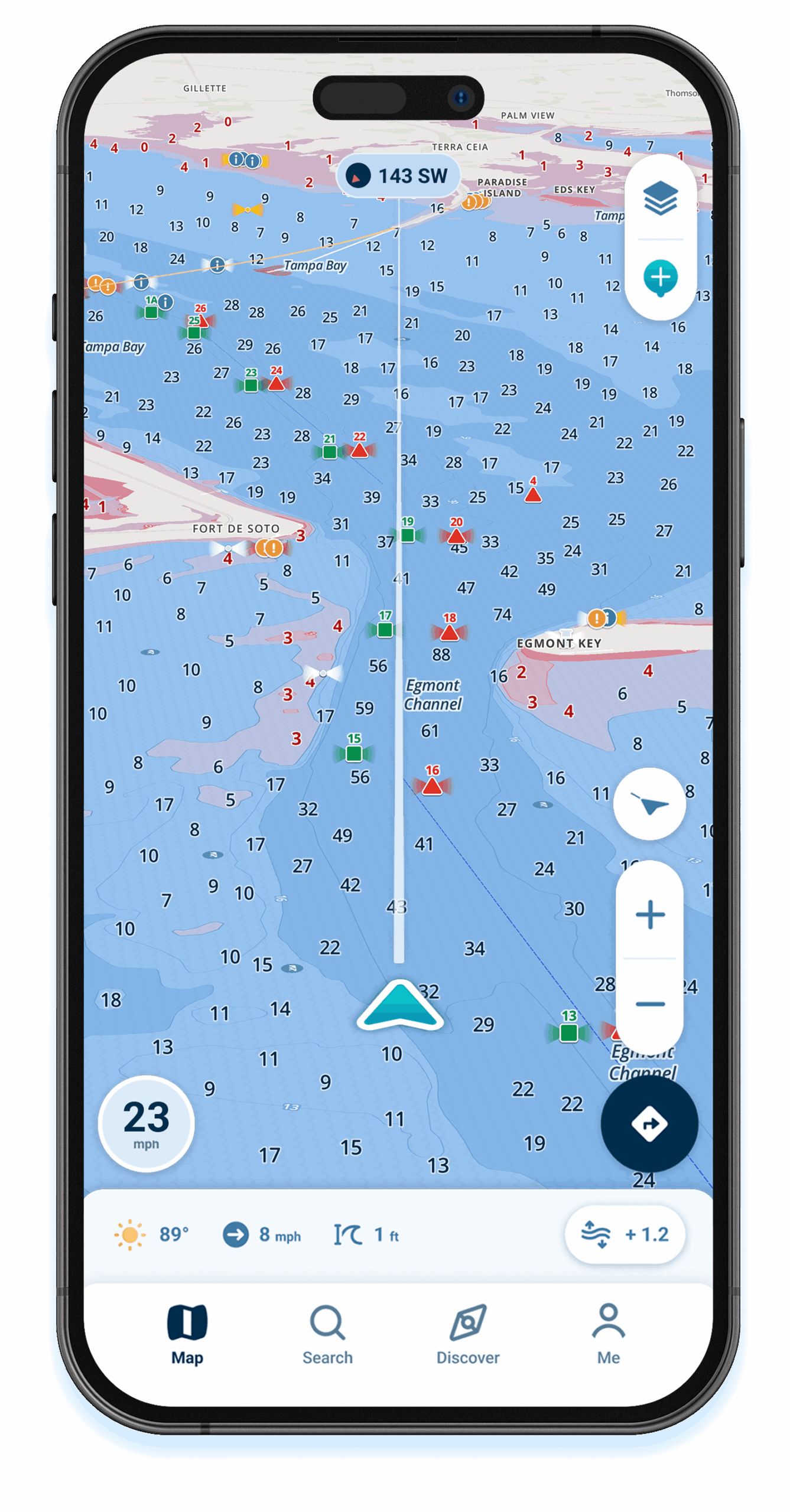
Planning boat routes requires accounting for your vessel’s draft, current tide heights, water depths along the entire path, and distance calculations. Wavve automatically shows safe versus shallow water for YOUR boat with draft-aware route planning that updates hourly with tides, preventing groundings before you leave the dock.

Key Benefits:

  • Draft-Aware Route Planning: See safe routes for YOUR boat based on draft and current tides
  • Automatic Depth Safety: Blue (safe) vs red (shallow) zones along entire route
  • Real-Time Tide Integration: Route depths update hourly as water levels change
  • Distance & Time Calculations: Know exactly how far and how long your trip will take
  • Waypoint Management: Mark destinations, fishing spots, hazards, and points of interest
Why Wavve for Boat Route Planning

Traditional route planners draw straight lines between points but don’t account for depth safety along the path. You plan a route only to discover shallow water blocks direct passage. Manual calculations about whether tide heights provide adequate clearance for your draft become tedious and error-prone.

Wavve eliminates this frustration through automated draft-aware route planning. Plot your course, the app instantly shows which sections provide safe depth for your boat at current tides. Blue zones mean adequate clearance, red zones warn of shallow water requiring route adjustments.

Over oen million boaters trust Wavve for confident navigation. Route planning users particularly value seeing depth safety before departure rather than discovering grounding risks on the water.

How To Get Started

Download_icon

Download the App

Available free on iOS and Android with 30-second install. Instant access to route planning and draft-aware navigation features.

no cost icon

Start Your 14-Day Free Trial

Full access to all features with no commitment. Plan actual trips before deciding.

Enter Your Draft & Plan Routes Confidently

Type your draft measurement once. Create routes seeing safe versus shallow water automatically. Save routes for repeated trips.

Draft-Aware Route Planning

sections provide adequate depth for YOUR boat at current tides. Adjust routes avoiding shallow areas before departure.

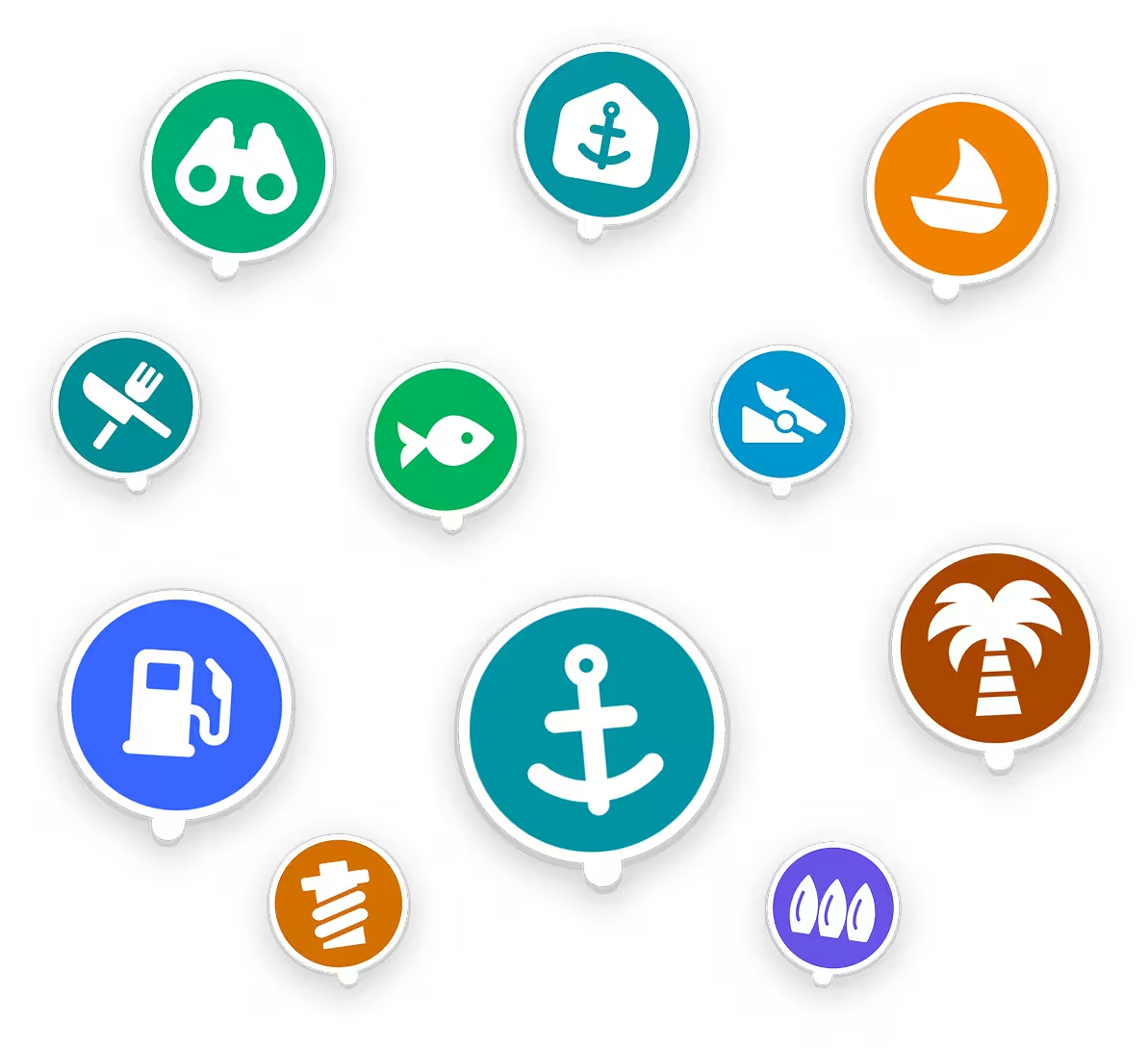
Wavve Boating Points of Interest

Waypoint Management & Distance Calculations

Mark unlimited waypoints for destinations, fishing spots, hazards, or points of interest. Measure distances between waypoints. Calculate total route length and estimated time based on your cruising speed.

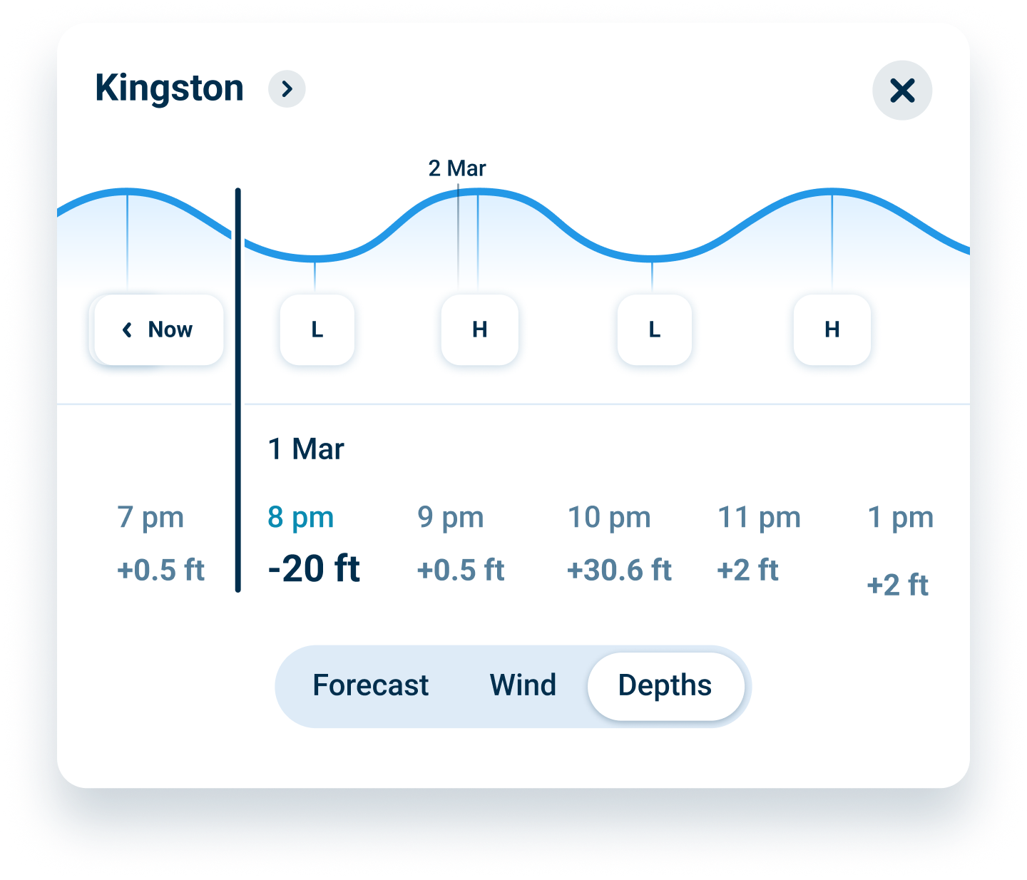
Water Level Card

Real-Time Tide Updates for Route Planning

Tides create dramatically different safe routes between high and low water. Wavve integrates real-time tide predictions updating route depths hourly. Plan departures for optimal water levels along your entire path.

FAQs

Enter your boat’s draft once. When creating routes, Wavve automatically displays which sections provide adequate depth for your vessel at current tide heights. Blue zones along your route indicate safe passage, red zones warn of shallow water requiring route adjustments. The system updates hourly as tides change.

Yes. Save frequently traveled routes for instant recall on future trips. Name routes for easy identification (like “Home to Anchorage” or “Fishing Spot Loop”). Saved routes remember all waypoints, allowing quick navigation without replanning each trip.

Absolutely. Download chart regions covering your cruising areas. Create, view, and navigate routes completely offline using only GPS signals. Essential for planning trips in remote areas or offshore passages beyond cell coverage.

Distance measurements use GPS coordinates providing accurate nautical mile calculations between waypoints. Time estimates require entering your typical cruising speed. Actual travel times vary based on conditions, currents, and sea state, but estimates provide useful planning baselines.

Wavve shows tide heights affecting navigable depths. For detailed tidal current planning (flow direction and speed), combine Wavve’s depth awareness with separate current forecasts. The draft-aware feature prevents grounding on shallow spots but doesn’t automatically route for current assistance.

Trial includes full route planning and navigation features with no credit card required upfront. After 14 days, continue using Wavve for $69.99/year or $11.99/month. Cancel anytime before trial ends with no charges. No commitment, no hidden fees.

Unlimited waypoints. Mark as many destinations, fishing spots, hazards, or points of interest as needed. Organize waypoints by location, trip, or purpose for easy management during route planning.

Plan Boat Routes with Automatic Draft-Aware Depth Safety

Traditional route planners ignore depth safety. Wavve automatically shows which route sections provide adequate clearance for YOUR boat at current tides. Plan confidently knowing your entire path avoids grounding risks.

Route Planning with Real-Time Tide Integration

Tides affect navigable depths along your entire route. Wavve integrates real-time tide predictions updating route depths hourly. Plan departures when water levels optimize your chosen path for safe passage.

Waypoint Management for Fishing Spots and Destinations

Mark unlimited waypoints for frequently visited fishing spots, anchorages, marinas, or hazards. Calculate distances between waypoints. Save waypoint collections for different cruising areas organizing your favorite spots.

Distance and Time Calculations for Trip Planning

Know exactly how far your planned route travels and estimated time required. Measure distances between waypoints in nautical miles. Calculate total route length helping fuel planning and departure time decisions.

Offline Route Planning for Remote Waters

Plan routes anywhere without cell service. Download chart regions, create routes, manage waypoints, and navigate entirely offline using GPS signals. Perfect for backcountry cruising and remote area exploration.

Save and Reuse Favorite Boat Routes

Save frequently traveled routes for instant recall. Name routes for easy identification. Reuse saved routes on future trips without replanning, saving time on repeated passages or seasonal cruising patterns.

Wavve Boating Logo

Plan Safe Boat Routes with Draft-Aware Depth Shading & Tides

Join over one million boaters who trust Wavve for confident navigation. Plan routes seeing safe versus shallow water for your boat before departure.

QR Code