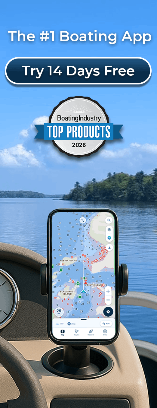
Canadian Marine Navigation App for the Great Lakes
Canadian Charts with Real-Time Water Levels and Draft-Aware Safety
The Great Lakes present unique navigation challenges. Water levels fluctuate seasonally and with weather patterns. Depths change constantly. Powerful currents flow unpredictably. Commercial shipping traffic shares major waterways with recreational boaters. We’ve built Wavve specifically for Great Lakes navigation with Canadian Hydrographic Service charts covering all five lakes, plus automatic draft-aware safety showing exactly where you can navigate at current water levels.
Key Benefits
- CHS charts for Lakes Superior, Michigan, Huron, Erie, and Ontario
- Real-time water level integration accounting for water depth changes
- Automatic draft-aware safety showing safe versus shallow zones
- Navigate confidently through changing Great Lakes conditions
- Works completely offline without cell service
- Community knowledge from 50,000+ Canadian boaters
- Simple interface with no technical complexity
- Multi-device access across phone, tablet, and backup devices
Why Choose Wavve for Great Lakes Navigation
Great Lakes boating differs significantly from coastal or inland lake navigation. Water levels change. Commercial traffic dominates certain passages. Weather develops unpredictably. Shallow areas shift seasonally. You need navigation tools built specifically for these conditions. That’s why Canadian boaters trust Wavve.
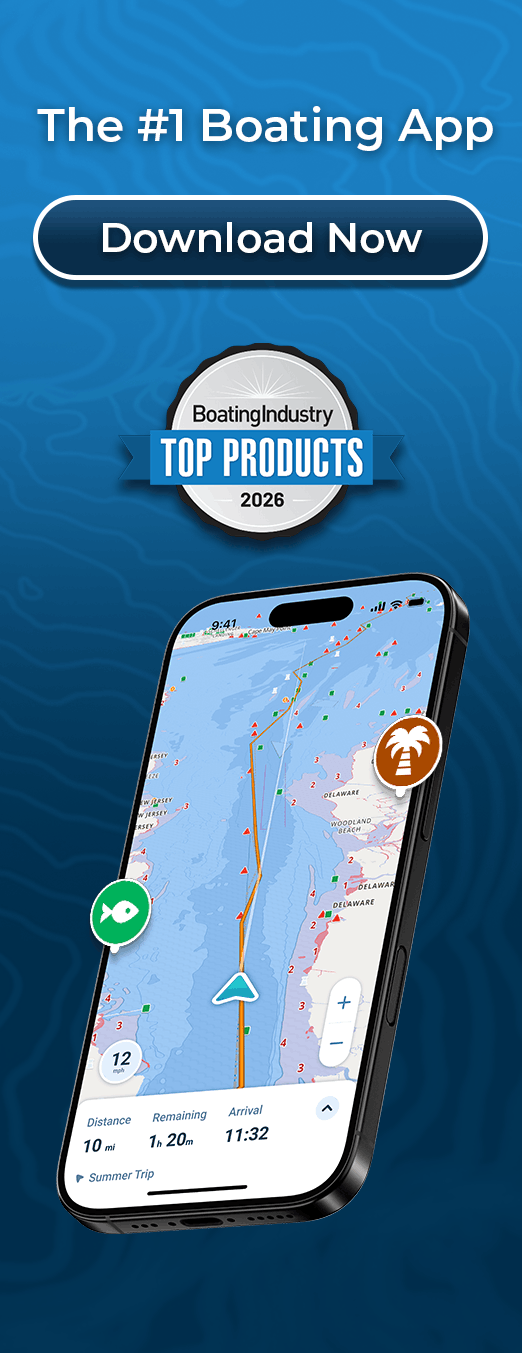
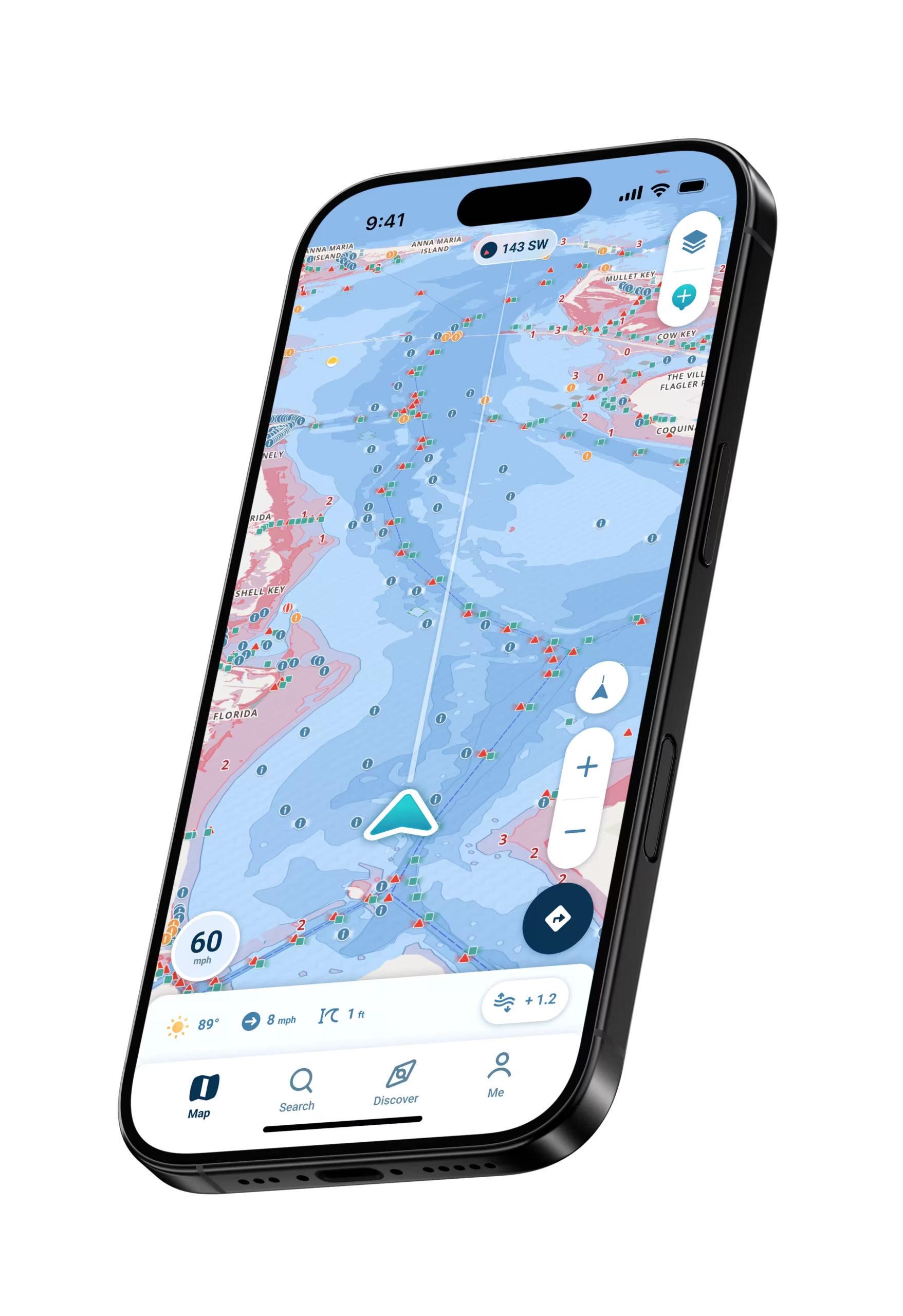
The Wavve Boating app customizes nautical charts to the draft of the user’s vessel, and real time water levels, to provide an intuitive and easy to read map. Wavve integrates real-time water level data updating automatically as Lake Michigan, Huron, Erie, Ontario, and Superior conditions change, allowing you to see current conditions, not yesterday’s static predictions.
Great Lakes boaters face unique challenges including unpredictable weather, fishing pressure, commercial traffic, and variable conditions across massive waters. Our community features let you benefit from knowledge shared by thousands of other Great Lakes boaters.
How To Get Started

Download the App
Free to download on iOS and Android. Create your account to get started.

Start Your Free 14-Day Trial
Try out all Wavve Boating features free for 14 days. Test everything on the Great Lakes before making any commitment.
Enter Your Draft and Navigate
Type your boat’s draft once. Download CHS charts for your Great Lakes region. You’re immediately navigating with automatic safety features active.
CHS Charts for All Five Great Lakes
Great Lakes navigation requires charts covering all five lakes plus connecting passages. Wavve includes complete Canadian Hydrographic Service charts for Superior, Michigan, Huron, Erie, and Ontario, plus St. Marys River, St. Lawrence, Trent-Severn, and other connected waterways. These are the same professional-grade charts commercial mariners use.
Real-Time Water Level Integration
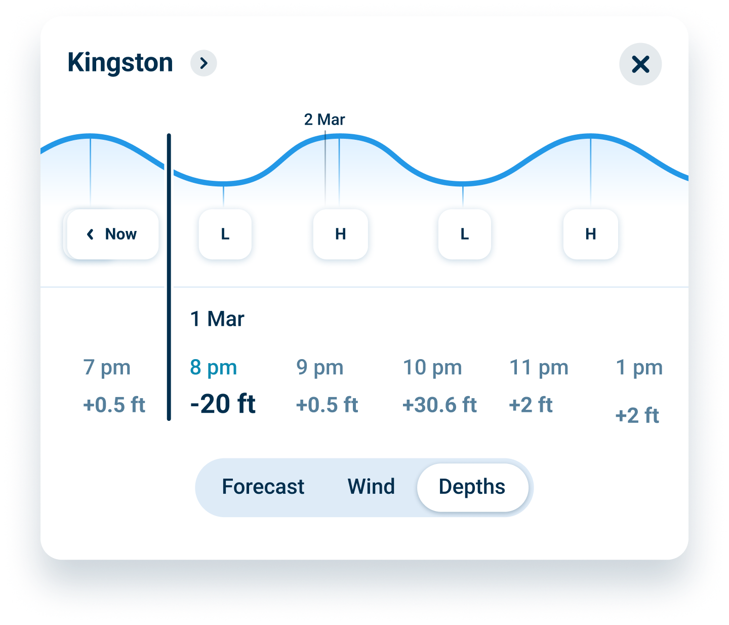
Great Lakes water levels fluctuate dramatically from seasonal patterns creating 2 to 4 foot changes from winter lows to summer highs to weather patterns creating shorter-term fluctuations. Storm surge raises levels unpredictably while low pressure systems lower them. Wavve integrates current water level data directly into charts so depths update automatically showing actual current conditions.
Draft-Aware Safety for Shipping Channels and Offshore Routes
Great Lakes boating ranges from coastal navigation in major shipping harbors to offshore passages across open water. Commercial shipping channels demand precise draft awareness. Wavve’s draft-aware system provides safe-zone visualization for all Great Lakes navigation types. Enter your draft once and it automatically shows blue zones for adequate depth and red zones that are too shallow.
FAQs
Yes, complete official CHS charts covering all five Great Lakes including Superior, Michigan, Huron, Erie, and Ontario. All charts are included with your subscription. No regional purchases or separate chart updates required.
Great Lakes water levels change seasonally and with weather patterns. Our integration shows current depth conditions across all lakes, updating automatically. You navigate based on actual current water levels, not static historical predictions.
Absolutely. Download chart regions covering your Great Lakes cruising areas over WiFi before trips. Once downloaded, all navigation features work using GPS alone. Charts, waypoints, routes, and draft-aware safety all function perfectly offline.
Official CHS charts show all shipping lanes, major traffic routes, and commercial navigation marks. Our community features let you report and view real-time information about current vessel traffic and navigation challenges.
Yes. Plan passages between Superior and Huron via St. Marys River. Navigate Michigan to other lakes through connecting waterways. Our charts show lock locations, navigation marks, and connecting passages between all Great Lakes.
Your first 14 days are completely free with no credit card required. After that, it’s just $69.99/year or $11.99/month if you want to continue. Cancel anytime before your trial ends with zero charges.
CHS Charts Covering All Five Great Lakes and Connected Passages
Great Lakes navigation requires comprehensive chart coverage across Superior, Michigan, Huron, Erie, and Ontario plus connecting waterways. Wavve provides complete Canadian Hydrographic Service charts for all Great Lakes areas. These professional-grade charts contain the same depth contours, navigation aids, and underwater hazard information commercial vessels rely on. No gaps, no regional chart purchases required.
Our chart library extends beyond the main lakes to include St. Marys River connecting Superior to Huron, St. Lawrence River connecting Ontario to the Atlantic, Trent-Severn connecting Ontario to inland waterways, and numerous other connected passages. Multi-week Great Lakes cruises find complete navigation coverage throughout the entire system.
Real-Time Water Level Integration for Accurate Depth Display
Great Lakes water levels fluctuate continuously from seasonal patterns and weather conditions. Winter months bring lower levels while summer brings higher levels. Storm systems create rapid level changes. These fluctuations dramatically affect navigable water depths in shallow areas. Static chart depths become inaccurate when water levels rise or fall significantly.
Wavve integrates real-time water level data from monitoring stations across the Great Lakes system. Depth displays update automatically reflecting current water conditions. You navigate based on actual current depths, not historical predictions that become outdated when water levels change. This real-time integration provides the accurate depth information Great Lakes boaters need.
Connected Waterway Navigation to Great Lakes Beyond
Great Lakes navigation often extends beyond the lakes themselves through connecting waterways. St. Marys River provides passage between Superior and Huron through shallow areas requiring draft awareness. St. Lawrence connects Ontario to the Atlantic through a series of locks. Trent-Severn connects Ontario to inland waters. Countless other passages connect the Great Lakes system.
Wavve includes comprehensive charts for all major connected waterways plus lock locations, passage restrictions, and special navigation considerations. Plan multi-week cruises combining Great Lakes passages with connected waterway routes confidently. Your navigation support covers the entire Great Lakes system and connecting passages.
Offline Navigation for Great Lakes Backcountry and Offshore Passages
Great Lakes boating frequently takes you beyond cellular coverage into remote areas and offshore passages. Download your Great Lakes chart regions over WiFi before trips and these charts store permanently on your device. Once downloaded, all navigation features function independently. Charts display perfectly. Draft-aware safety operates normally. Position tracking works using GPS alone.
Offline capability proves essential for offshore passages across open water losing signals immediately. Remote harbors and backcountry areas offer zero connectivity. Navigation systems relying on constant data become useless when you need them most. Wavve delivers complete functionality offline.
Fishing Spot Management Across All Great Lakes
Mark fishing locations across all five Great Lakes in one comprehensive app. Save unlimited waypoints naming favorite spots. Navigate back to productive areas season after season. Community features let you discover new fishing locations shared by other Great Lakes anglers.
Build your personal library of Great Lakes fishing spots organized by season and lake. Return consistently to proven productive areas. Synchronize waypoints across multiple devices. Share favorite locations with family and friends enjoying the same boating areas.

Start Your
Boating Journey
Join thousands of Canadian boaters using Wavve Boating to explore, plan, and navigate with confidence.