Navigate Ontario’s Great Lakes and inland waters with Canadian charts, real-time water levels, and an intuitive user experience.
Marine Navigation App for Ontario | Great Lakes & Inland Water Navigation
Ontario’s Great Lakes and inland waters present unique navigation challenges. Water levels fluctuate seasonally and with weather patterns. Depths change constantly. Commercial shipping traffic dominates major waterways. Changing conditions demand navigation tools specifically designed for these environments.
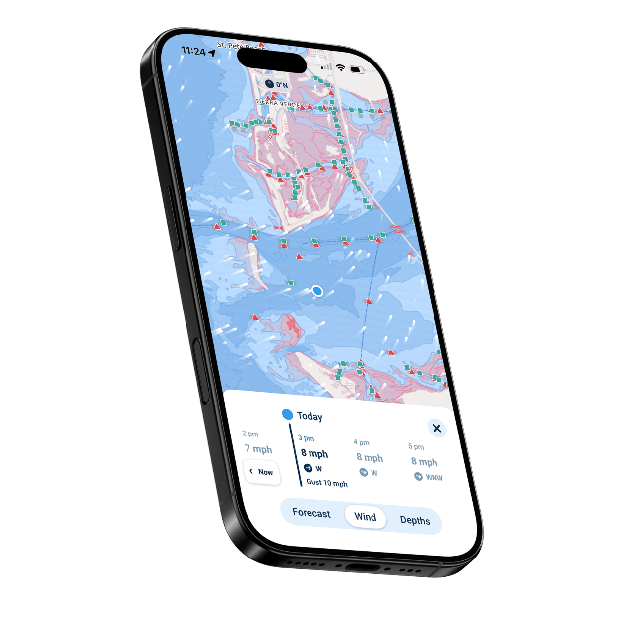
- Automatic depth shading based on your boat’s draft showing safe versus shallow zones
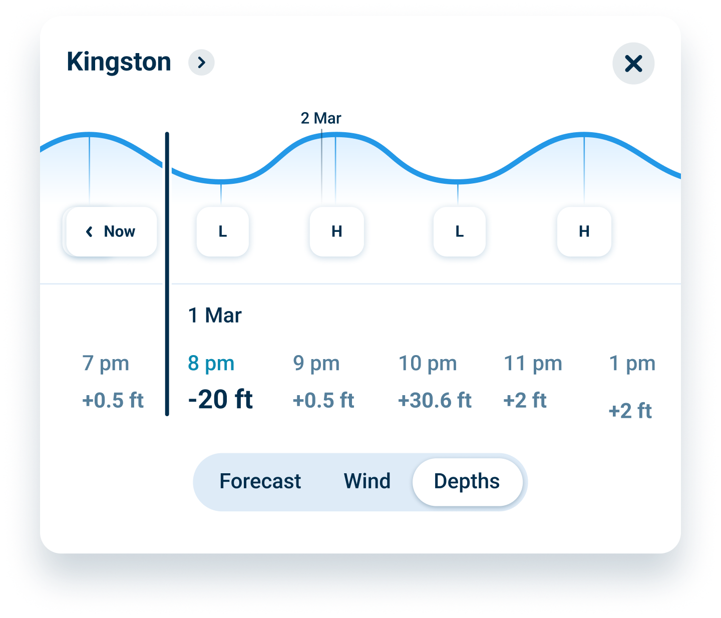
- Real-time water level integration accounting for seasonal and weather fluctuations
- Canadian Hydrographic Service chart data covering all Great Lakes
- Complete offline capability for remote areas without cell service
- Community knowledge from Canadian boaters
- Simple, intuitive interface designed for Canadian boaters