What Is a Marine Chartplotter?
A chartplotter is a specialized navigation system designed for boating that integrates GPS data with electronic charts of waterways. Unlike a standard GPS device, a chartplotter offers much more functionality by combining features like radar, sonar, and AIS (Automatic Identification System). These systems are built to be reliable in marine environments, ensuring that boaters always have accurate, up-to-date information about their location, water depths, and nearby vessels.
Chartplotters are permanently installed on the boat, typically mounted on the dashboard, making them highly visible and accessible while navigating. The screens are designed for all-weather use, ensuring that they remain readable even under direct sunlight or in harsh conditions. Their robust, marine-grade construction ensures they can withstand the challenges of life on the water, making them ideal for long-distance trips or professional boating. Popular models from companies like Garmin, Raymarine, and Simrad offer a range of features that integrate seamlessly with a boat’s other systems, providing comprehensive, real-time data.
What Are Marine Navigation Apps?
In contrast to chartplotters, marine navigation apps are software-based solutions that run on smartphones or tablets. These apps have revolutionized how recreational boaters approach navigation by offering a more flexible, affordable alternative to traditional marine-grade hardware. With apps like Wavve Boating, Navionics, and AquaMap, boaters can plan routes, monitor their location, and even track weather patterns—right from their mobile devices.
One of the biggest advantages of marine apps is their portability. Instead of being permanently installed on the boat, these apps can be downloaded to a smartphone or tablet, allowing users to take their navigation system anywhere. Whether you’re on a small fishing boat or out on a weekend cruiser, having a marine navigation app on hand means you can easily plan your route and access key charts without needing additional hardware. These apps are also typically more affordable, with many offering free basic features, and premium options for more advanced tools, such as detailed charts or offline map access.
Hardware vs Software: Key Differences
The distinction between chartplotters and marine navigation apps essentially boils down to hardware vs. software. Chartplotters are dedicated, hardware-based systems built specifically for boating navigation. As a result, they offer a higher degree of reliability in terms of performance, power, and connectivity. These systems are typically powered by the boat’s electrical system, so you don’t have to worry about battery life. They also come equipped with large, high-quality screens that are readable in all lighting conditions, making them ideal for both daytime and nighttime use.
In contrast, marine navigation apps are software that runs on smartphones and tablets, meaning they’re portable but come with certain limitations. They rely on the device’s battery and the availability of a mobile data connection, which can be an issue in remote areas or while out at sea. Additionally, while many apps offer offline capabilities by downloading charts and maps in advance, their screens are generally smaller than those on chartplotters, which can make navigation more challenging, particularly in rough weather conditions. However, the affordability and portability of marine apps make them an attractive option for many recreational boaters who don’t need the complexity or price tag of a traditional chartplotter.
User Interface and Experience
One of the most notable differences between chartplotters and marine navigation apps is the user interface and overall experience. Chartplotters are designed with large, high-definition screens that are easy to read in all lighting conditions, including direct sunlight. The controls are typically designed to be used with gloves, which is an essential feature for boaters in all types of weather. These devices often have a more tactile interface, allowing boaters to quickly navigate through different options and data points without taking their eyes off the water.
On the other hand, marine navigation apps rely on the smaller screens of smartphones or tablets. While apps like Navionics or Wavve Boating have intuitive interfaces, their smaller screens can be harder to read in bright sunlight. While touchscreens are great for quick adjustments, apps are generally less responsive than the physical knobs or buttons found on chartplotters, which can be important when navigating through rough seas. That said, mobile apps are often more customizable and can provide boaters with a level of flexibility in their display options, making them more appealing for casual or weekend boaters who need a straightforward navigation system.
Features Compared Side-by-Side
Chartplotters offer a broad range of features designed specifically for marine navigation. They often include built-in radar, sonar, and AIS (Automatic Identification System) integration, which can be critical for boaters navigating in busy or offshore waters. Many chartplotters also provide autopilot integration, allowing boaters to set a course and let the system manage the steering, ensuring a smooth and safe journey. These devices also allow for detailed chart overlays, such as depth contours, hazards, and weather patterns, making them indispensable for professional and long-distance boaters.
In comparison, marine apps like Wavve Boating and Navionics focus on providing key navigation tools, such as route planning, weather overlays, and tide charts. While marine apps may not have the same high-level integration as chartplotters, many apps have developed advanced features such as real-time hazard alerts, offline charts, and community-driven route sharing. The main advantage of apps is their portability and ease of use, which makes them great for weekend boaters or those who don’t require the heavy-duty features of a full chartplotter system.

Cost Comparison: One-Time vs Subscription
Chartplotters tend to come with a significant upfront cost, often ranging from a few hundred to several thousand dollars, depending on the model and features. Along with the device itself, there are often additional costs for chart updates, software licenses, and accessories like radar or sonar modules. For professional navigators or those who plan to do a lot of offshore boating, the cost of a chartplotter is justified by the reliability, integration, and advanced capabilities it offers. However, for recreational boaters who don’t need all the high-end features, this cost can be prohibitive.
Marine apps, by contrast, are generally much more affordable. Many apps offer free versions with basic features, while premium versions, which unlock additional charts, advanced tools, or offline capabilities, are often available through one-time payments or low-cost subscriptions. For instance, Wavve Boating offers an easy-to-use app with flexible payment options, making it accessible for both new boaters and those on a budget. Overall, marine navigation apps provide an affordable alternative for anyone who doesn’t need the full power and integration of a chartplotter, offering great value for casual boaters or as a supplementary too
How Boaters Use Both Together
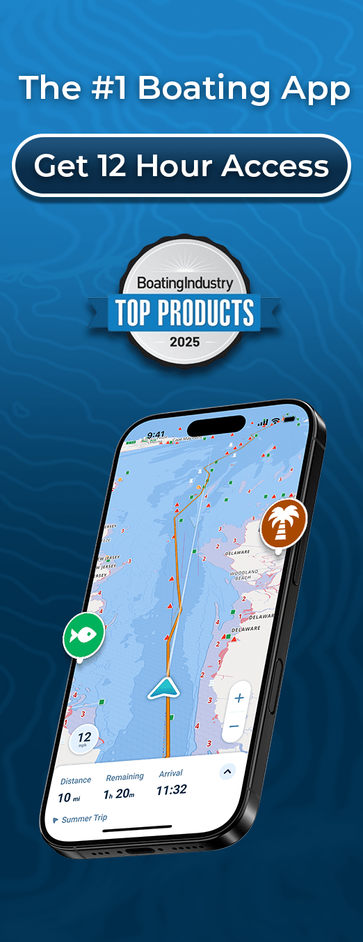
In many cases, boaters use both systems to maximize their navigation capabilities. Chartplotters are typically used for primary navigation, especially during long trips or when operating in unfamiliar waters. Their large, rugged screens, integrated radar, and sonar systems make them the go-to option for offshore and professional boaters. However, marine navigation apps like Wavve Boating serve as a valuable secondary tool. Many boaters use apps for route planning, weather updates, or as a backup if their chartplotter fails or runs into connectivity issues.
Having both options available can provide added peace of mind, ensuring that boaters are covered no matter the situation. Chartplotters ensure reliability and safety when navigating long distances, while marine apps offer the convenience of portable, easily accessible navigation tools that can be used for quick reference, route adjustments, and even monitoring weather while underway. This hybrid approach is a smart strategy for many recreational boaters who want the best of both worlds.
Pros and Cons: Chartplotters
Chartplotters offer many advantages for serious boaters. They provide a reliable and permanent solution for navigation, with large, easy-to-read displays that are designed for all weather conditions. The integration with other onboard systems, like radar and sonar, makes chartplotters invaluable for offshore or professional navigation. They also offer high-level reliability, as they are powered by the boat’s electrical system and don’t rely on battery life like marine apps do.
However, chartplotters are expensive, with upfront costs for the hardware and additional fees for chart updates and software. They are also not portable, meaning they are confined to the boat where they are installed. Their size can be cumbersome, especially for smaller boats or for boaters who don’t need all the advanced features.
Pros and Cons: Marine Navigation Apps
Marine navigation apps, on the other hand, are far more affordable and portable. They offer a range of essential features like route planning, weather tracking, and tide charts, which are all accessible via smartphones or tablets. The ability to download maps and use the app offline makes them a valuable backup when cellular connectivity isn’t available.
However, there are some drawbacks. Marine apps are dependent on your device’s battery life and may struggle with visibility in bright sunlight. They also lack the comprehensive integration of chartplotters, such as radar or sonar, and may not be as accurate in certain situations. Despite these limitations, marine apps offer a flexible, low-cost option for boaters who don’t require the extensive features of a chartplotter.
Which Is Better? Final Thoughts
Ultimately, the choice between marine navigation apps and chartplotters depends on your boating needs. For serious navigators, chartplotters provide the most reliable, comprehensive solution, especially for offshore boating and professional navigation. They are the gold standard when it comes to integrated features, but they come at a high cost and are not portable.
On the other hand, marine navigation apps like Wavve Boating are an excellent choice for recreational boaters or anyone looking for a portable, budget-friendly option. With the right app, you can easily plan routes, track your position, and receive real-time updates, all from your smartphone or tablet. Many boaters choose to use both systems for added flexibility—relying on chartplotters for primary navigation and using marine apps for convenience and backup.
Conclusion
Both marine navigation apps and chartplotters offer distinct advantages, and there is no one-size-fits-all solution. If you’re a casual boater or weekend warrior, marine apps provide excellent value and portability. For those who need high reliability and advanced features for longer or professional trips, chartplotters are the best choice. Many boaters opt for both, ensuring they have the tools they need no matter what the journey brings.