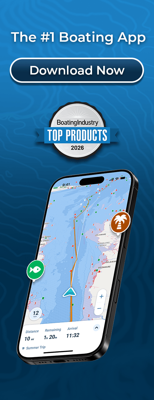
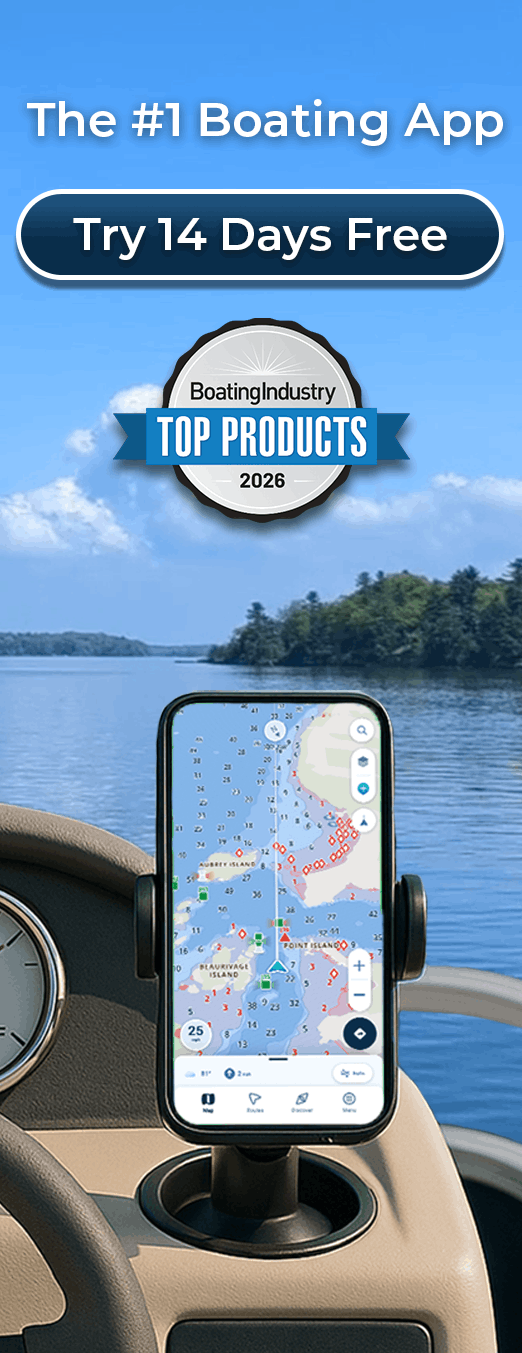
Professional Chartplotter Navigation on Any Device
Navigate with Marine Charts Online, No Expensive Hardware Required
Get chartplotter-level navigation on devices you already own. Wavve delivers 17,000+ marine charts with GPS positioning, draft-aware depth shading, real-time tides, and weather, all accessible online or offline anywhere you boat.
Key Benefits:
- 17,000+ Charts: NOAA, CHS, AHO, UKHO coverage worldwide (no regional restrictions)
- Online & Offline Access: Use with internet or download charts for remote navigation
- Draft-Aware Depth Shading: Automatic safe vs shallow zones for YOUR boat + real-time tides
- Real-Time GPS Positioning: Accurate location tracking without expensive chartplotter hardware
- 7-Day Marine Weather: Forecasts layered directly on navigation charts
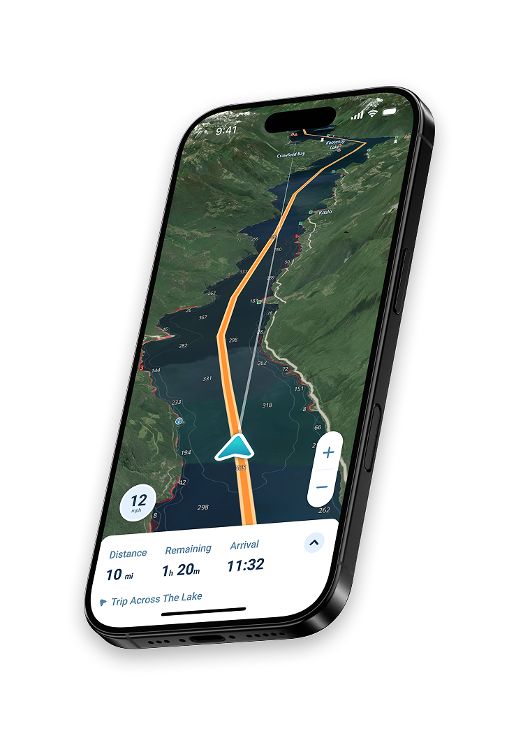
Why Wavve Delivers Chartplotter Capability Without Hardware Costs
Traditional chartplotters cost $500-$5,000+ for hardware plus installation fees. Chart updates require annual subscriptions costing $50-200. The technology sits fixed on one boat unable to move between vessels.
Wavve provides the same professional navigation capability on smartphones and tablets you already own. Charts update automatically based on boat draft. One subscription works across all your devices and boats. Mount your phone or tablet at the helm for dedicated display functionality or use portably for trip planning.
Over one million boaters worldwide have switched from expensive chartplotter hardware to modern app-based navigation. Save thousands while gaining features traditional plotters lack, automatic draft-aware safety, community hazard reporting, and daily chart updates.
How To Get Started

Download the App
Free to download on iOS and Android. Create your account to get started. Instant access to 17,000+ marine charts worldwide.

Start Your 14-Day Free Trial
Full chartplotter functionality with no upfront commitment. Test online and offline navigation on actual trips before deciding.

Navigate with Professional Capability
Real-time GPS shows your position on charts. Enter your draft for automatic depth safety. Download chart regions for offline use anywhere.
17,000+ Marine Charts, Online or Offline
Access the same charts installed on expensive chartplotters, NOAA (United States), CHS (Canada), AHO (Australia), UKHO (United Kingdom). View charts online with internet connection or download regions for complete offline navigation in remote waters.
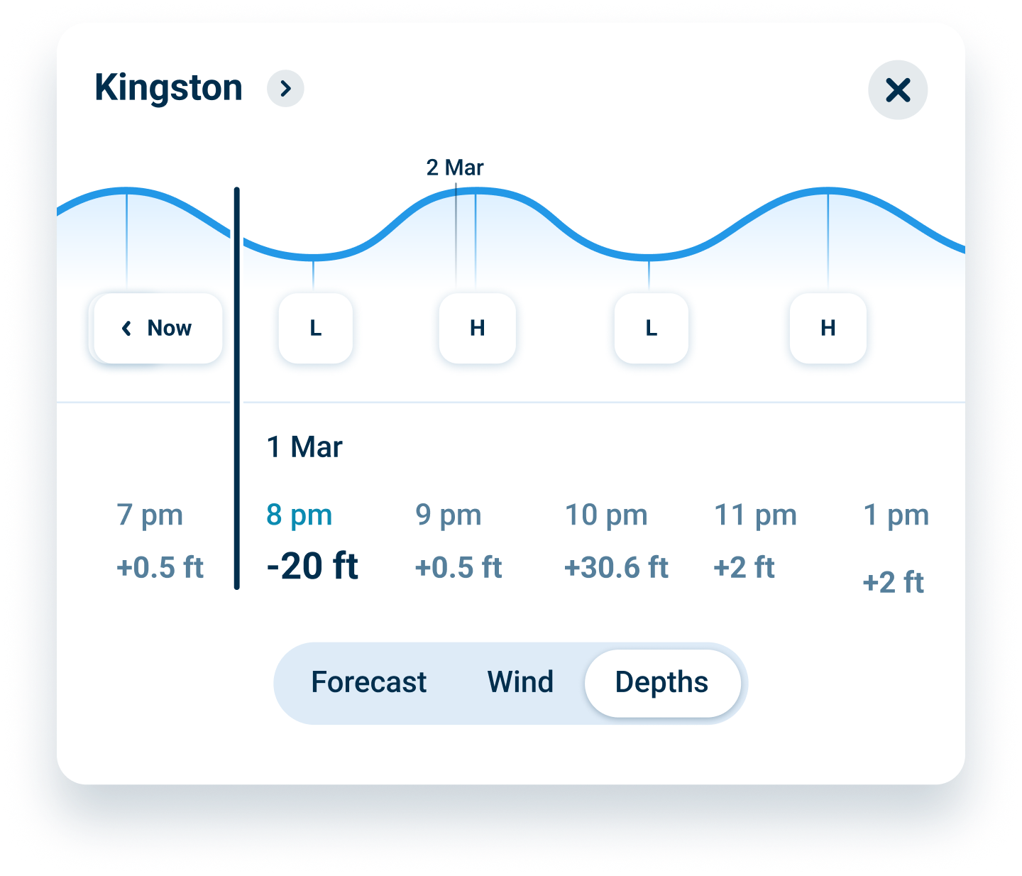
Draft-Aware Navigation Traditional Chartplotters Can’t Match
Enter your boat’s draft once. Charts automatically show safe (blue) versus shallow (red) water for YOUR vessel based on real-time tides and water levels. This automated safety feature prevents groundings in ways static chartplotter depths cannot.
Real-Time Updates That Keep You Safe
Charts update automatically, no manual downloads or subscription fees for updates. Seven-day marine weather layers on charts showing conditions for your route. Community hazard reports share real-time dangers charts miss. Always current, always safe.
FAQs
For most recreational boaters, yes. Wavve provides GPS positioning, official charts, depth awareness, weather forecasts, and navigation tools on devices you already own. The functionality rivals mid-range chartplotters costing $1,000-3,000 while adding modern features like draft-aware safety and automatic updates traditional hardware lacks. Mount your phone or tablet at the helm for dedicated display functionality.
No. “Online” means accessible via internet when available, but full offline capability exists. Download chart regions over WiFi before trips. All navigation features including GPS positioning, draft-aware depths, waypoints, and routes work completely offline. The app functions anywhere GPS satellite signals reach without cellular or internet connectivity.
Yes. Wavve uses identical official charts from NOAA, CHS, AHO, and UKHO, the same sources chartplotter manufacturers license. The difference is delivery method (app vs dedicated hardware) and automatic daily updates versus chartplotter manufacturers charging $50-200 annually for chart updates you must manually install.
All modern smartphones and tablets include GPS receivers that communicate with positioning satellites. This same technology powers car navigation, fitness tracking, and location services. For marine use, the GPS shows your boat’s position on charts with accuracy comparable to dedicated chartplotter hardware.
Yes. One subscription works on all your devices across any boats you operate. Unlike fixed chartplotter installations locked to single vessels, Wavve moves with you. Use the same app on your sailboat, powerboat, kayak, or PWC. Perfect for boaters who rent, charter, or own multiple watercraft.
Trial provides full chartplotter functionality with no credit card required upfront. After 14 days, continue using Wavve for $69.99/year or $11.99/month. Cancel anytime before trial ends with zero charges. No commitment, no hidden fees.
Worldwide coverage with 17,000+ charts included. United States waters (Atlantic, Pacific, Gulf Coast, Great Lakes, Alaska, Hawaii), complete Canadian coverage, Australia, United Kingdom, and major international cruising destinations. One subscription covers all regions with no geographic restrictions or additional purchases.
Marine Charts Online Without Chartplotter Hardware Costs
Access 17,000+ NOAA, CHS, AHO, and UKHO charts on devices you already own. Get professional chartplotter capability for $69.99/year instead of $500-5,000 hardware investments. Same charts, modern delivery, massive savings.
Real-Time Marine Navigation Charts That Update Automatically
Traditional chartplotters require manual updates costing $50-200 annually. Wavve’s online marine charts update automatically and daily at no extra cost. Always navigate with current information about channels, markers, hazards, and depths.
Draft-Aware Online Chartplotter Preventing Groundings
Static chartplotter depths don’t account for your boat’s draft or current tides. Wavve automatically shows safe versus shallow water for YOUR vessel based on real-time conditions. Navigate confidently knowing exactly where you can go right now.
Professional Navigation Without Installation or Subscriptions
Chartplotter installations cost $200-500 for wiring and mounting. Chart updates require annual fees. Wavve works instantly on phones and tablets with automatic updates included. No installation, no hardware, no hidden subscription costs for chart access.
Online Marine Chartplotter for Every Type of Boating
Recreational cruising, fishing, sailing, kayaking, PWC riding, one app handles all navigation needs. Mount at the helm for dedicated display or use portably for planning. The same subscription works across boats, devices, and waters worldwide.
Offshore, Coastal, and Inland, Complete Online Chart Coverage
Navigate anywhere with comprehensive chart coverage. Offshore passages, coastal cruising, inland lakes, rivers, and bays all covered under one subscription. Online access when connected, full offline capability for remote waters.

Navigate with Digital Marine Charts, Start Your Free Trial Today
Join over one million boaters who chose modern chartplotter capability over expensive hardware. Get charts, GPS positioning, draft-aware safety, and automatic updates on devices you already own.