Best Boating App for Recreational Boaters

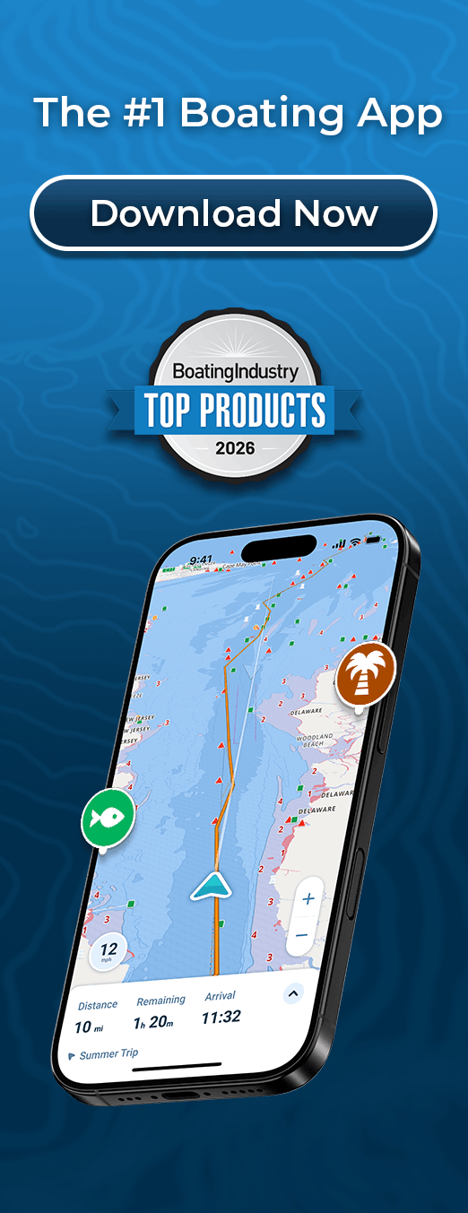
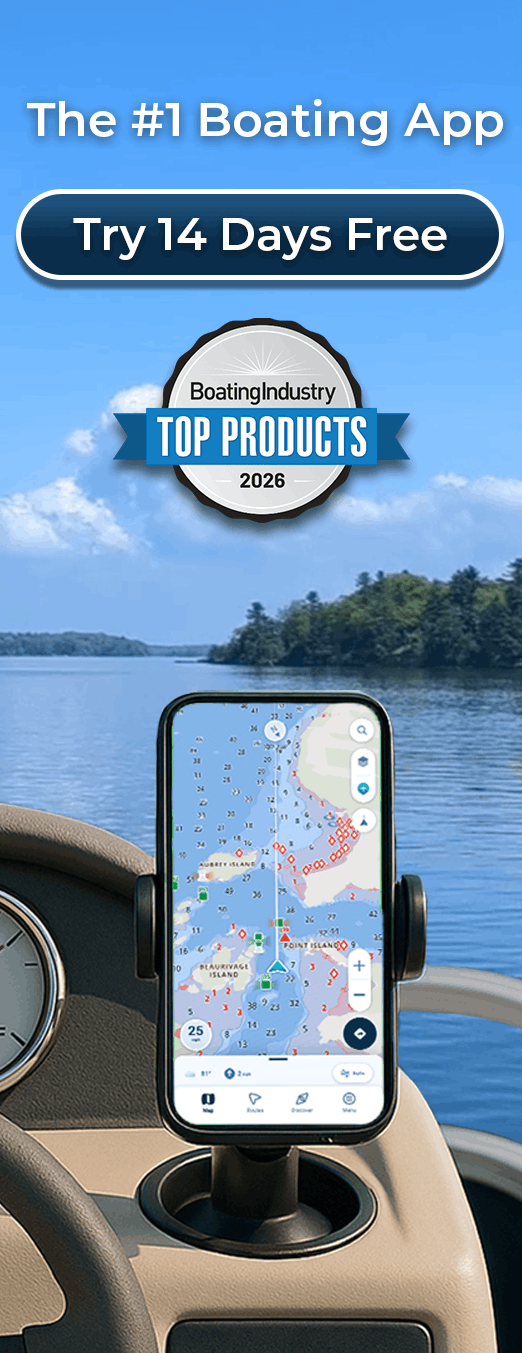
Wavve Boating is a top-rated boating app that makes checking conditions, finding destinations, and navigating easier.

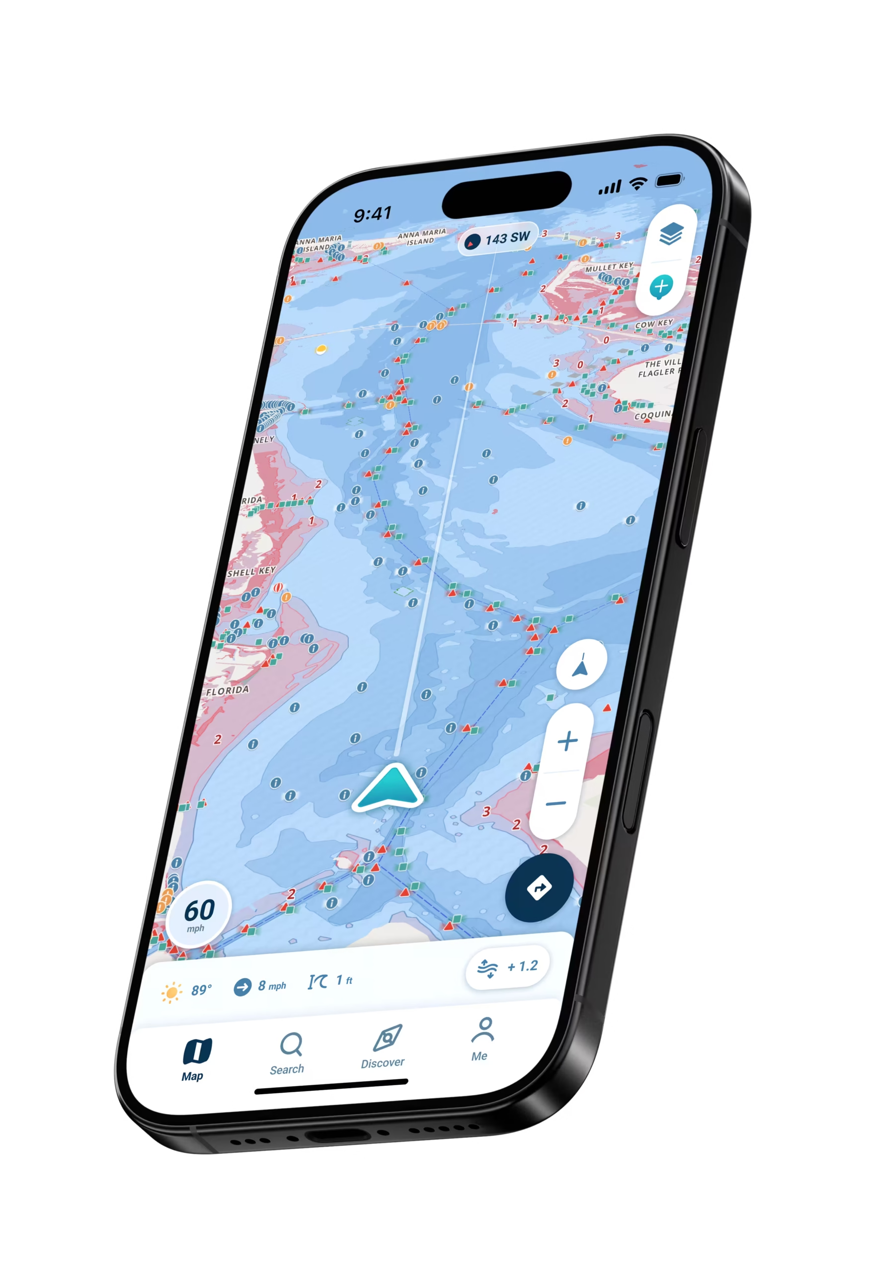
Wavve Boating App Navigation
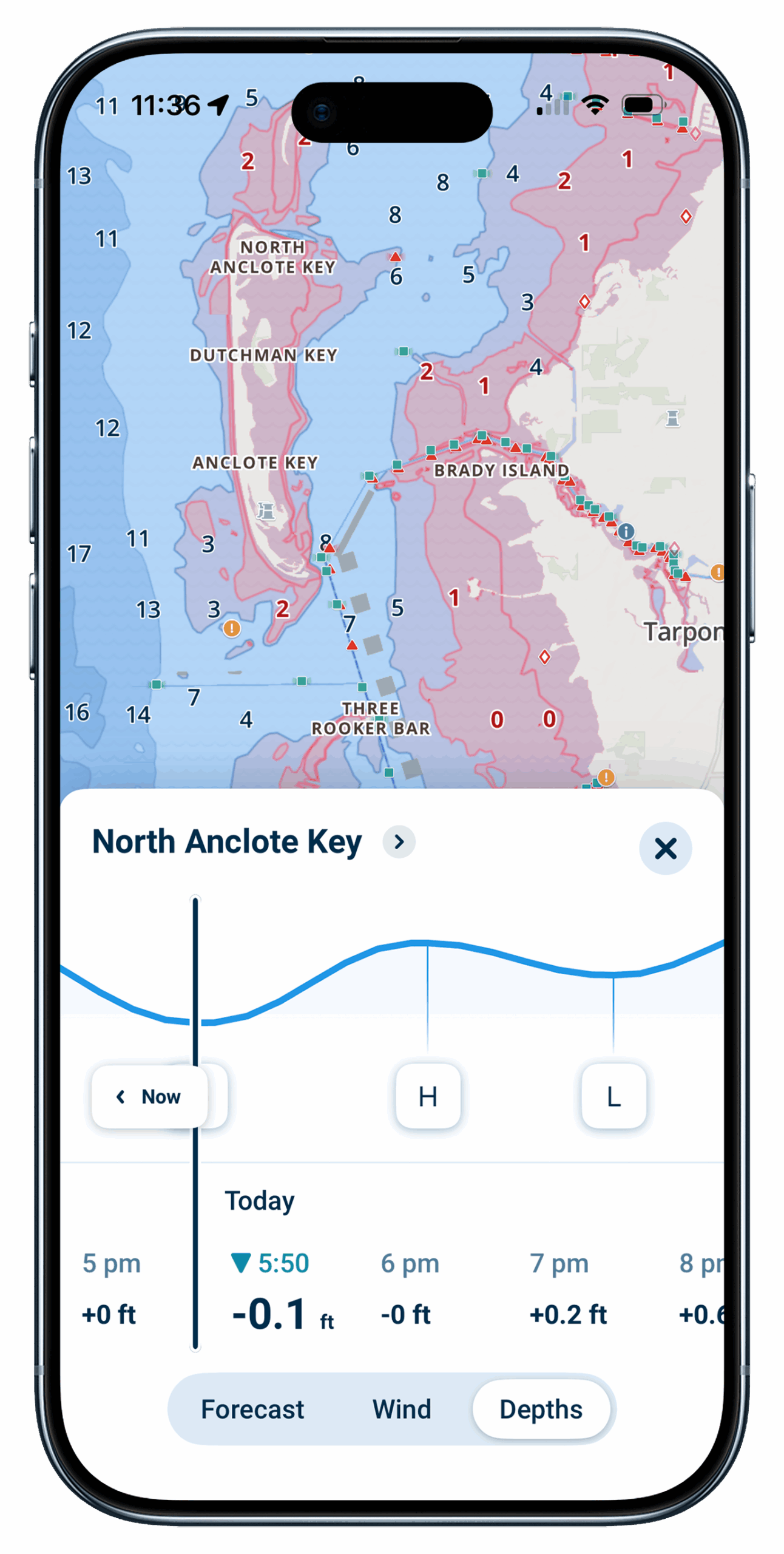
wavve boating app depths feature

What Makes Wavve Boating the Best Boating App
All-in-One Boating App

Plan the route, check the conditions, understand the water, find somewhere worth going, and navigate there with Wavve Boating.

Check Marine Weather Before You Go

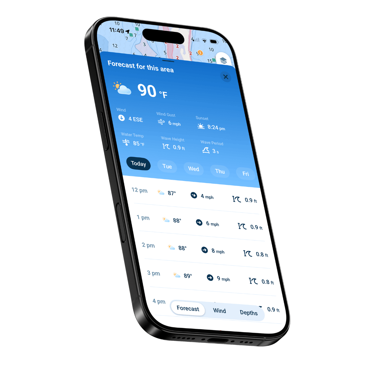
The Integrated Marine Weather Forecast updates as you pan the map, showing wind, gusts, and wave height where you plan to go.

Discover Boat Ramps and Destinations

Find boat ramps, marinas, fuel docks, and waterfront restaurants with community-contributed Wavve Points shared by fellow boaters.

Award-Winning AutoRouting and Dynamic Depths

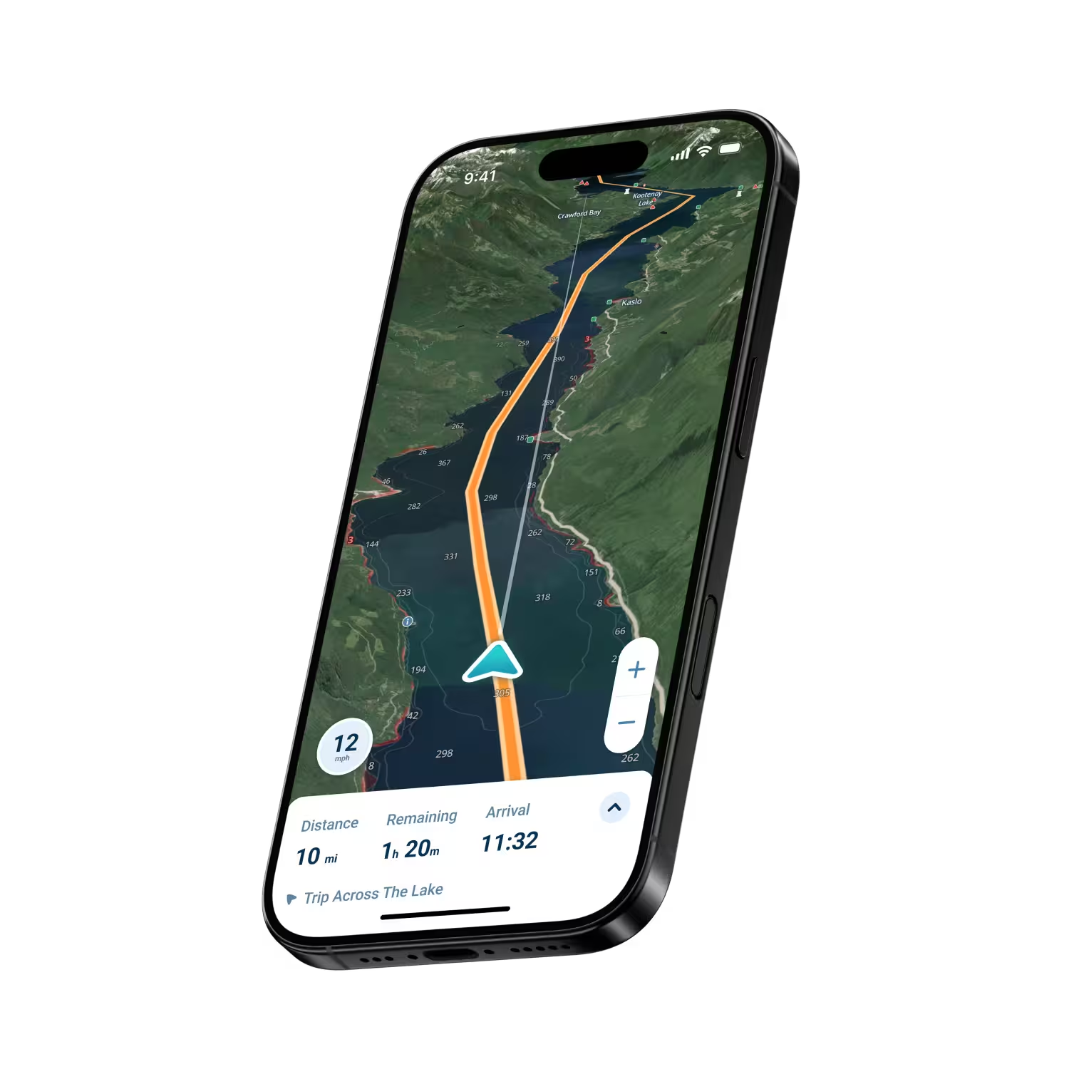
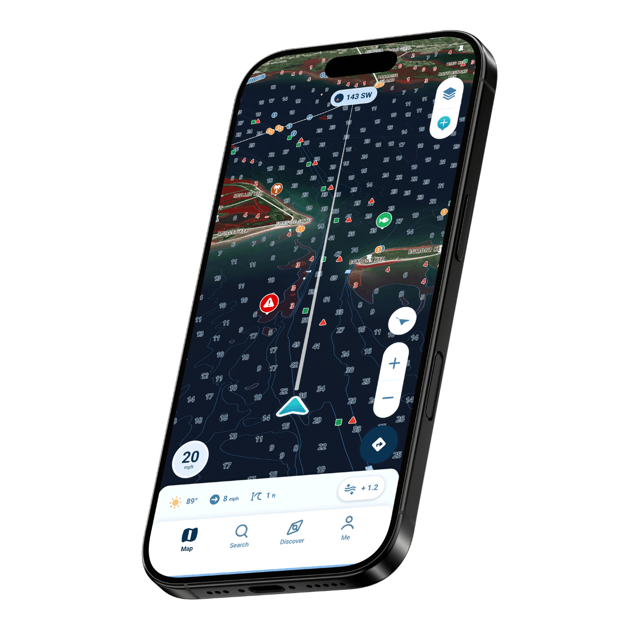
AutoRouting suggests a route using available chart information and your draft, while Dynamic Depths adjusts charted depth using available tide and water-level data.

Offline Maps Beyond Cell Service

Download your map area before departure so chart data stays available when your connection doesn’t, while your device’s GPS continues showing your position.
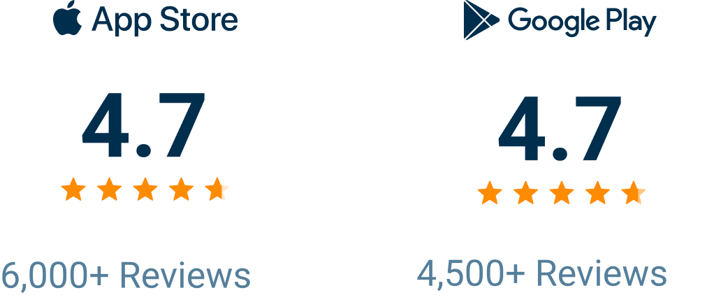
A Top-Rated Boating App With 10,000+ Five-Star Reviews

Wavve Boating Rating

Built for Your Whole Day on the Water

Planning a day on the water can mean piecing together the forecast, a chart, and local knowledge from different places. Wavve Boating brings them into one boating app on the phone or tablet you already carry. Check the Integrated Marine Weather Forecast and the Visual Wind Overlay before you leave, find boat ramps and fuel docks with Wavve Points and somewhere new to go in the Discover Tab, and plan the route with AutoRouting. Once you are underway, Dynamic Depths helps you understand the water around your boat, Offline Maps keep downloaded charts available beyond cell service, and Trip Recordings let you revisit the day afterward.

Everything You Need, Without the Clutter

Integrated Marine Weather Forecast

Check marine weather, wind, waves, and changing conditions before and during your trip with an hour-by-hour forecast and seven-day outlook.

Visual Wind Overlay

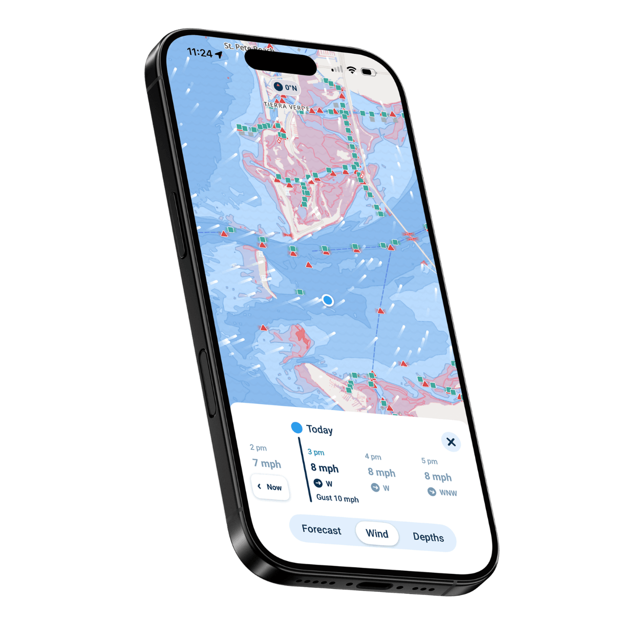
See expected wind direction and speed on the map and plan up to three days ahead.

Wavve Points

Discover and save marinas, fuel docks, beaches, restaurants, hazards, fishing spots, and other places worth knowing about.

Discover Tab

Browse popular places, active boaters, and new Wavve Points and photos to plan your next destination.

Map Styles and Contours

Switch between Default, Dark, and Satellite map styles, and set custom depth contour colors and sounding size.

Trip Recordings

Record a trip and revisit route, distance, time, and estimated fuel use, with Speed Graphs showing how your speed changed.

Who Uses Wavve Boating?

Lake and Family Boaters

Navigate lakes and rivers on easy-to-read charts and save boat ramps, beaches, and favorite stops as Wavve Points.

Fishing and Angling

Save fishing spots as private Wavve Points, read Depth Contours on the map, and check wind and waves before heading out.

Weekend Boaters and Social Cruisers

Look for new places to go in the Discover Tab, share routes with Friends, and check the hourly forecast before you leave the dock.

Sailboat Owners

Plan around the wind with the Visual Wind Overlay and wave forecasts, then set your own course with Manual Routing.

Personal Watercraft and Jet Ski Riders

Explore new waterways, see Friends who share their location, and record each ride with Trip Recordings and Speed Graphs.

New Boat Owners

Learn the water with map symbols that explain themselves with a tap, red shading for areas that may be too shallow for your draft, and AutoRouting.
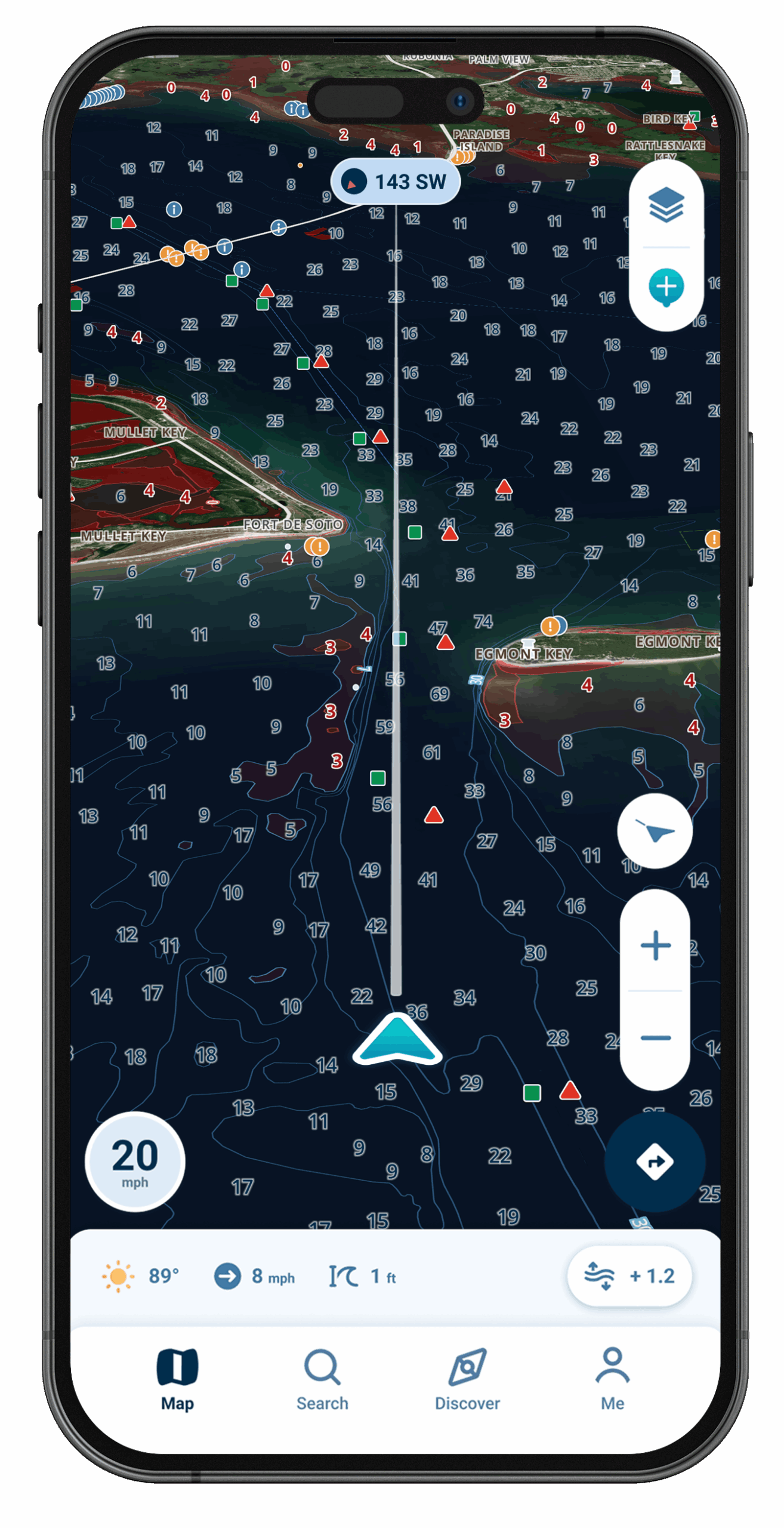
Wavve Boating Satellite View

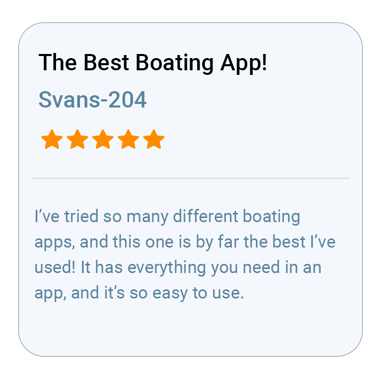
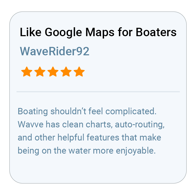
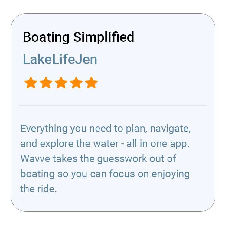
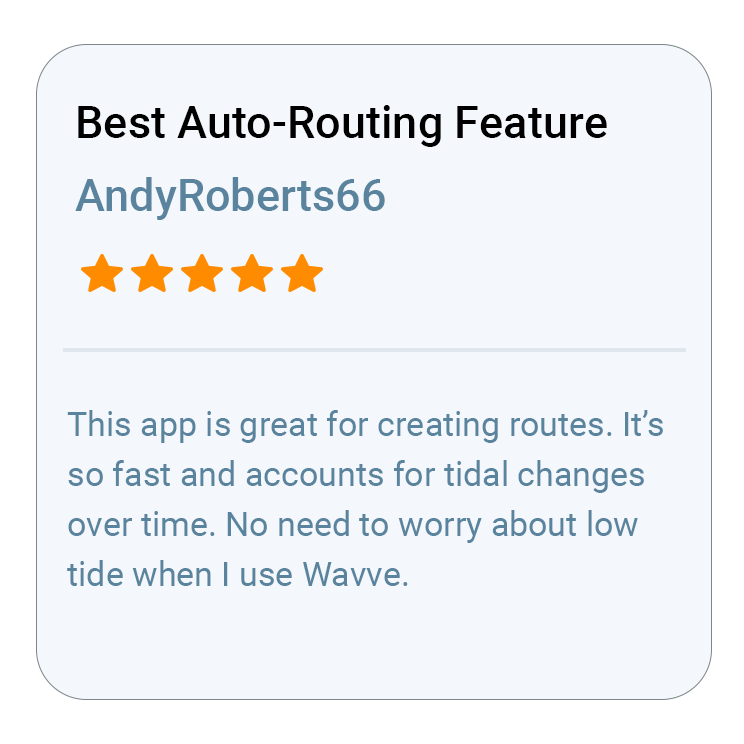
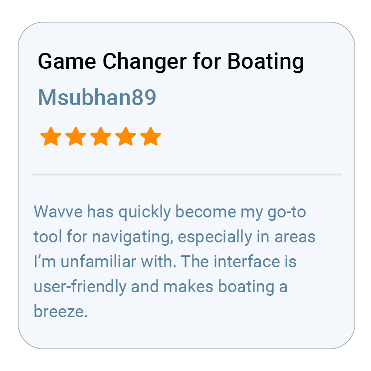
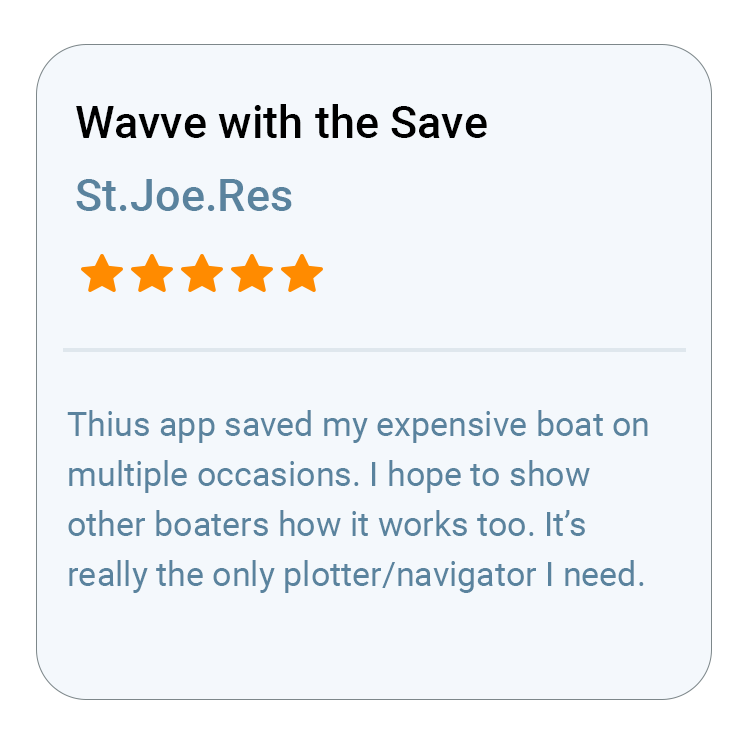
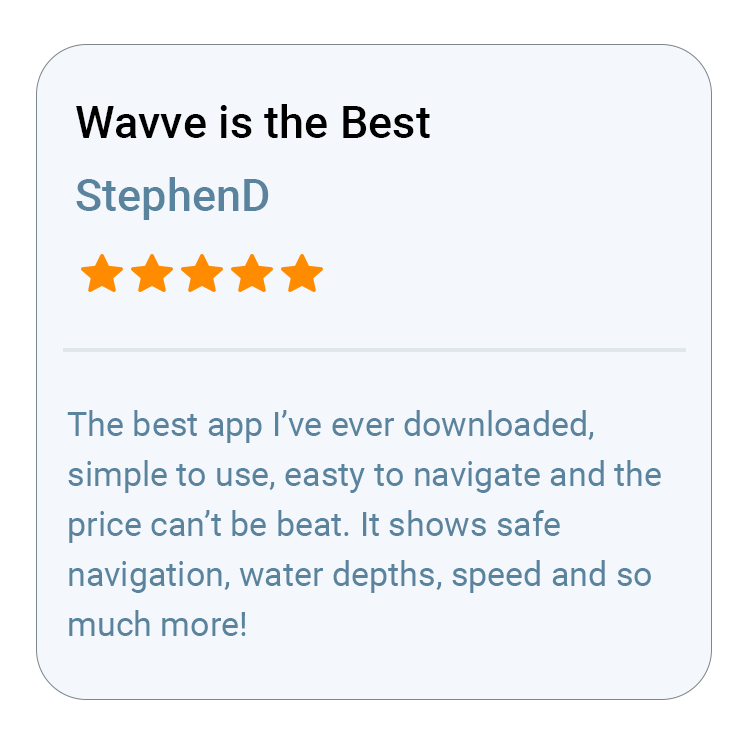
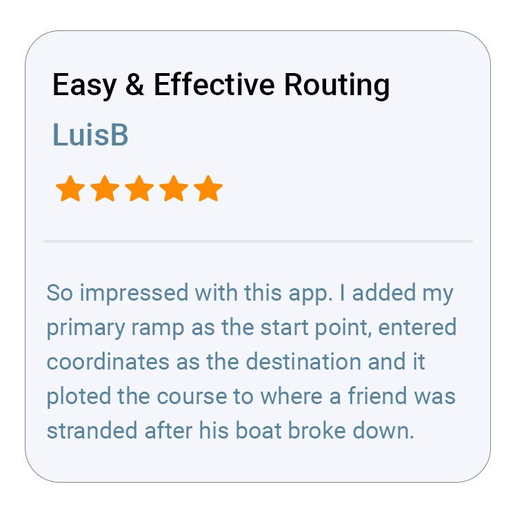
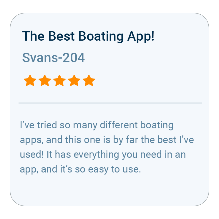
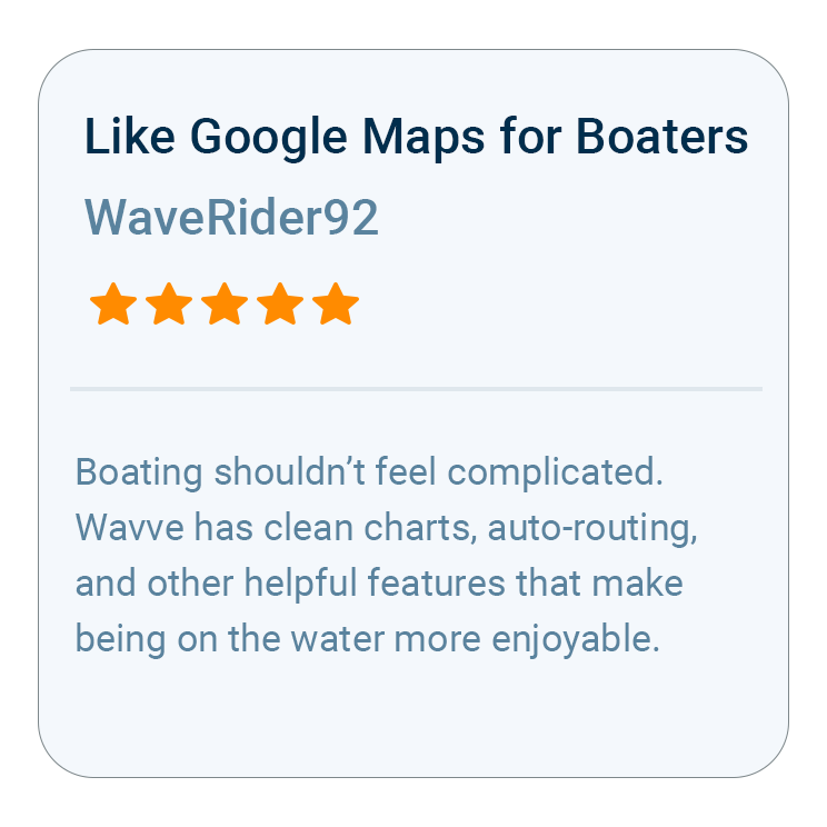
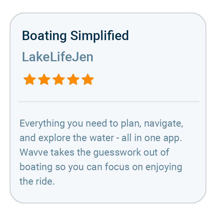
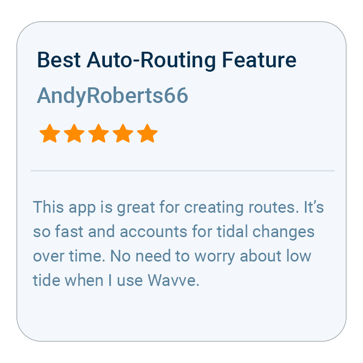
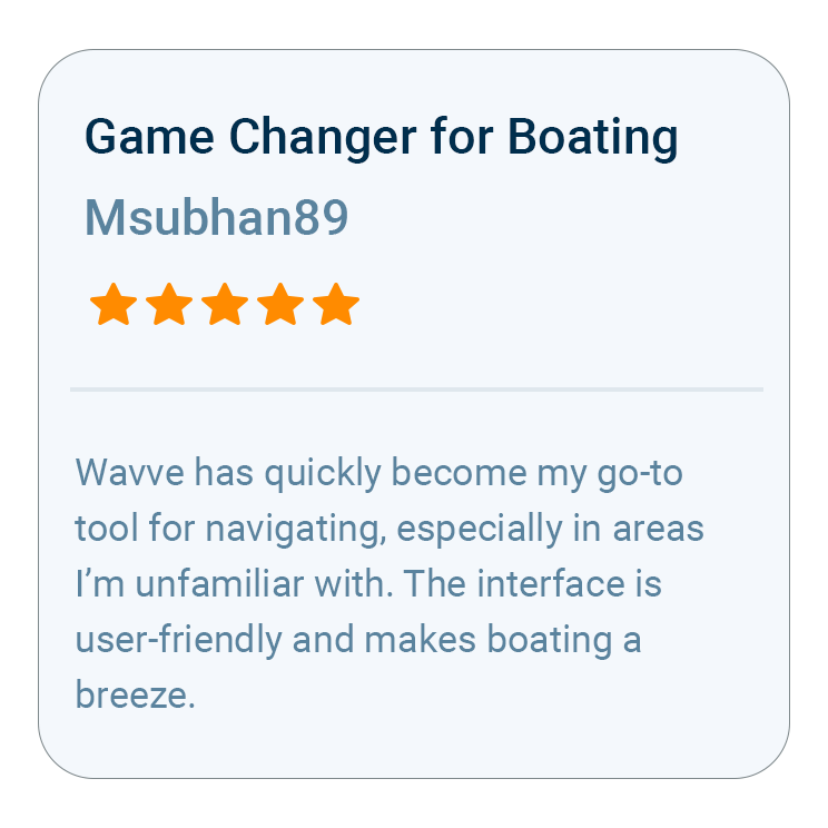
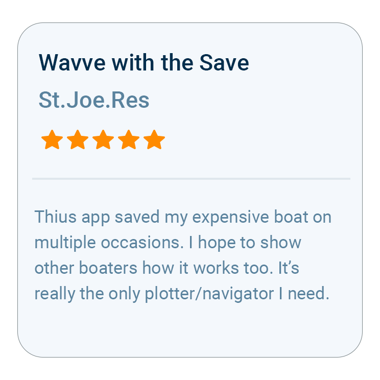
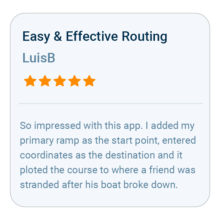
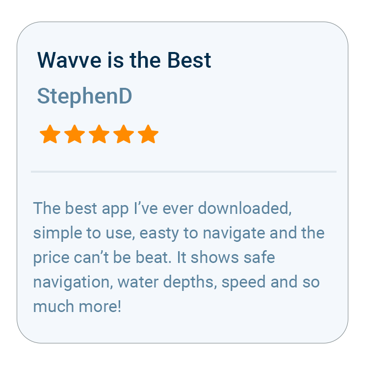
What Boaters Are Saying
FAQs
Wavve Boating is one of the top-rated boating apps for recreational boaters, and in 2025 and 2026 it was the most downloaded marine navigation app in the United States and Canada. It brings maps, routing, depths, weather and wind, trip planning, offline navigation, and community-powered destinations together in one approachable experience.
Yes. Wavve Points mark boat ramps, marinas, fuel stations, restaurants, beaches, and other places shared by the boating community, and the Discover Tab helps you find new places to visit. Wavve Points are community-contributed and are not a comprehensive database.
Yes. Download the area you’ll be boating in using Offline Maps before departure. Downloaded chart data remains available without cellular service, although features that require an internet connection may not update until connectivity returns. Plan AutoRoutes and refresh weather forecasts while connected so you’re prepared before leaving the dock.
Yes. Anglers can save private fishing locations with Wavve Points, share spots with friends when they choose to, and use Depth Contours and charted depth information to understand the water. Speed Graphs show how your speed changed along a recorded trip, which can help you understand your trolling speed. Wavve Boating is not a fish finder and does not detect fish.
Wavve Boating offers an Annual subscription for $69.99, which includes a 14-day free trial for eligible new subscribers. A Monthly subscription is also available for $11.99 without a free trial.
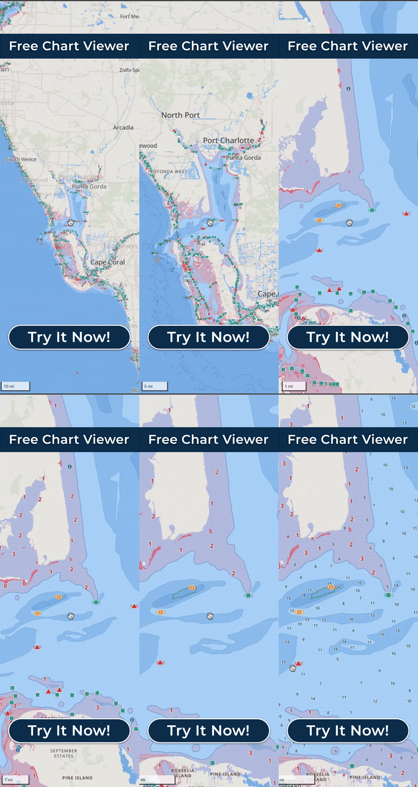
Coverage varies by location. Wavve Boating combines marine chart data from more than 20,000 nautical charts into a seamless map across supported regions, including thousands of lakes. Check the interactive coverage map at wavveboating.com/map or the Free Web Chart Viewer to confirm coverage for your boating area, and if it isn’t currently covered, you can submit a coverage request.

How To Get Started

Download_icon

Download Wavve Boating on iPhone, Android, or Tablet

Wavve Boating is free to download, with a paid subscription required for full app access.

no cost icon

Start Your Free Trial

Start a 14-Day free trial to try Wavve Boating on your next boating trip.

Navigation icon

Start Navigating Easily

Open the app, search for a destination, and navigate with confidence.

Trusted by Top Brands in Marine
Trusted by Marine Industry’s Top Brands

What Should the Best Boating App Do for Recreational Boaters?

The best boating app should help with the whole day on the water, not only the trip from the dock to the destination. That means checking the marine forecast, finding a boat ramp, a fuel dock, or somewhere new to go, planning a route that accounts for your boat, and keeping your charts available beyond cell service. Wavve Boating is a boating app built specifically for recreational boaters that brings those tools together, from the Integrated Marine Weather Forecast and community-contributed Wavve Points to AutoRouting, Dynamic Depths, and Offline Maps. Like Google Maps for boats, it is designed to be easy to use on iPhone, iPad, and Android phones and tablets, and the Free Web Chart Viewer lets you explore charts and plan routes on a bigger screen before you go. Wavve Boating is built by boaters, shaped by customer feedback, and backed by a real Customer Success team seven days a week.

Wavve Boating App Satellite View

Check Marine Weather, Wind, and Waves Before You Go

Marine weather is built into Wavve Boating, so you can check wind and waves alongside the chart before choosing where to go. The Integrated Marine Weather Forecast breaks down marine conditions hour by hour with a seven-day outlook, including temperature, wind, wind gusts, sunset, wave height, and wave period, with color coding for wind and wave heights to make changing conditions easier to understand. The Visual Wind Overlay shows expected wind direction and speed directly on the map, helping you understand how wind may affect different areas of your trip. In tidal areas you can also see daily high and low tide information, and available tide and water-level data feeds Dynamic Depths. Use the forecast as a planning tool alongside official weather warnings and your own observations on the water.

Find Boat Ramps, Marinas, and New Places to Go With Wavve Points

A lot of the best boating knowledge is local knowledge, and Wavve Points put it on the map. These community-contributed points range from marinas, fuel stations, boat ramps, restaurants, and beaches to permanent hazards and temporary occurrences such as divers and floating dangers. Public Wavve Points are reviewed and voted on, although their accuracy cannot be guaranteed. The Discover Tab, a Boating Industry Top Product in 2024, brings what other boaters are sharing into one place, making it easier to find somewhere new for your next trip. You can also save private Wavve Points for fishing spots and places you want to return to, share spots with friends when you choose to, and set your Home Port. Friends who share their location appear on your map, and you can share routes with them.

Navigate There With AutoRouting, Dynamic Depths, and Offline Maps

Once you know the conditions and the destination, Wavve Boating helps you navigate there. AutoRouting generates a course between two points while considering available chart information, including obstacles, channels, and water depths, and AutoRoute Modes including Prefer Channels, Most Direct and Balanced let you choose an approach that better matches the waterway and your boating preferences. Every AutoRoute shows total distance and estimated travel time, with an optional fuel estimate. Dynamic Depths combines charted depth information with your vessel’s draft and available tide or water-level data, and the map uses red shading on areas that may be too shallow for your boat. Boating Industry named Dynamic Depths a Top Product in 2025 and AutoRoute Modes a Top Product in 2026. Because AutoRoutes are calculated on Wavve Boating’s servers, build your route while connected before you head out, and download the area with Offline Maps so your charts and GPS position stay available beyond cell service. Review every route against current conditions, available chart information, and your own judgment before and during your trip.

Wavve Boating Logo

Make More of the Water With Wavve Boating

Check the marine weather, find boat ramps and marinas with Wavve Points, plan the route with AutoRouting, and keep charts available with Offline Maps. Download Wavve Boating and plan your next day on the water.

QR Code