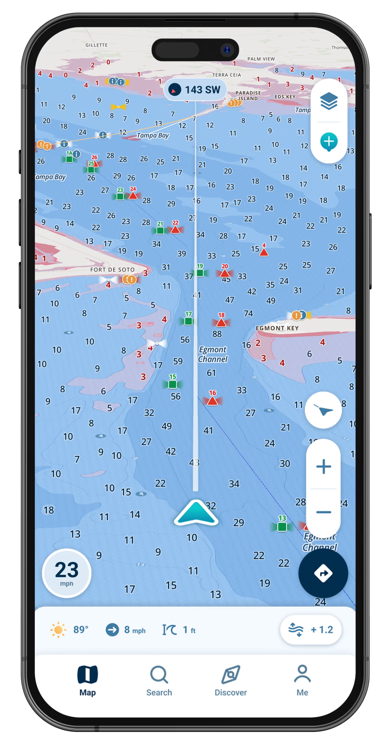
Best Marine Navigation App for Florida

The easy-to-use marine navigation app built for Florida boaters, with charts customized to your draft that keep you off the sand.

Wavve Boating App Navigation

Why Florida Boaters Love Wavve Boating
See Depth Changes Before You Feel Them

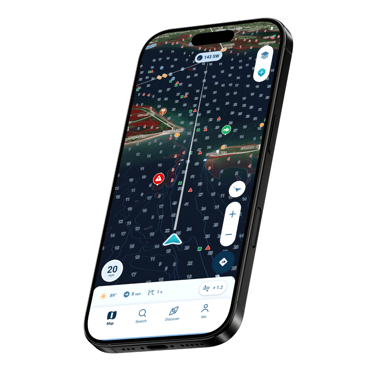
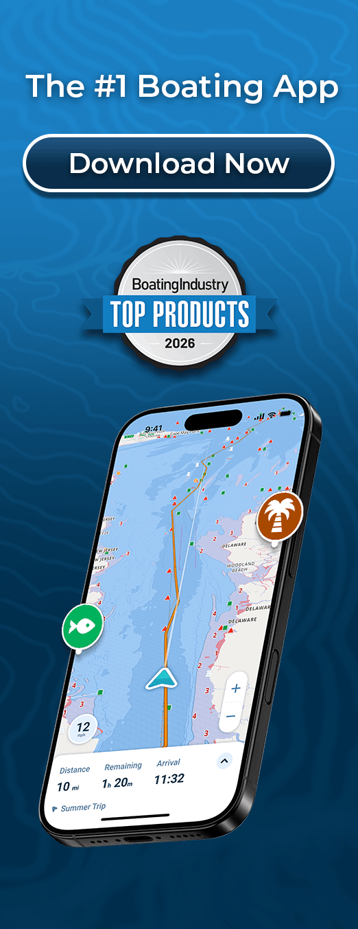
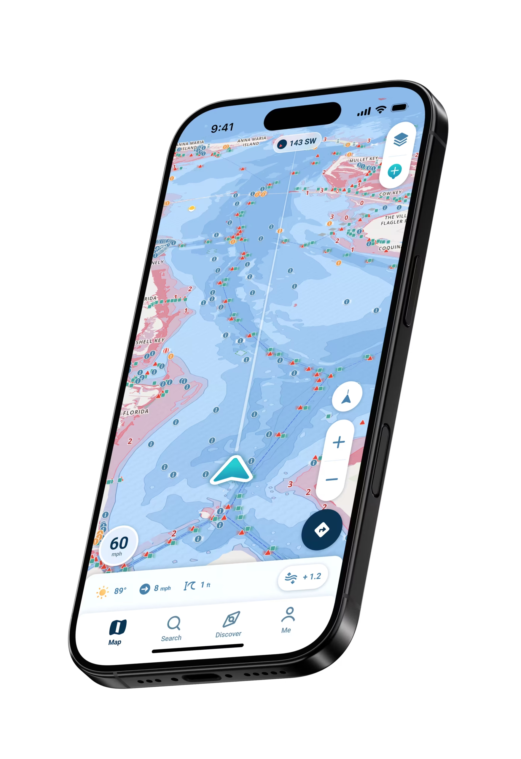
Depth shading maps every drop and rise, so you spot sandbars and skinny water before you find them the hard way.

Shallow-Water Alerts

Get a heads-up as the water gets thin, so you can ease off before you ever touch bottom.

Easy to Read at a Glance

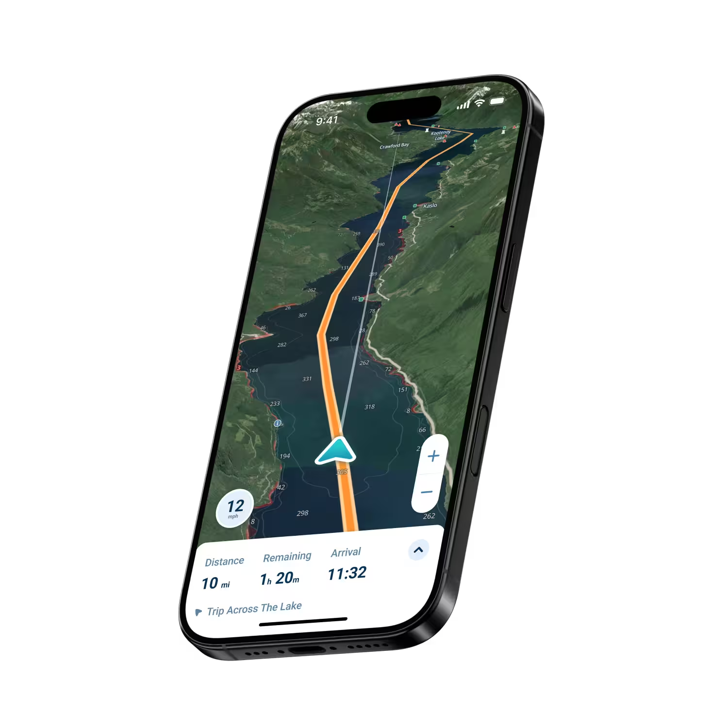
A clean, simple chart shows exactly where you are and where you are headed, even at speed.

Coverage Across Florida

Detailed charts from the Panhandle to South Florida and the Keys, covering the water most Florida boaters run.

Local Spots and Ramp Guides

Community waypoints, shared local spots, and boat ramp guides for Florida’s busiest launches.
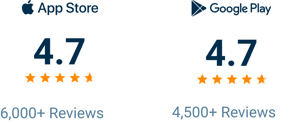
The Top-Rated App for Florida Boaters

Wavve Boating Rating

Why Florida Boaters Trust Wavve on the Water

Florida boating is its own thing. One minute you have plenty of water, the next you are idling over a flat wondering where it went. Wavve Boating was made for exactly that, with charts customized to your draft and real-time depth shading that show the bottom the way Florida actually is. It is also built to be simple, so you do not need a chartplotter or a boat full of electronics to run with confidence. Pull up Wavve on your phone or tablet, see your position, watch the depth, and go, whether you are working the flats, headed to a sandbar, or pointing the bow toward the Keys.

Features That Make Wavve Great for Florida Boating

Shallow-Water Alerts

Automatic warnings as depth drops, made for Florida’s sandbars and flats.

Draft-Customizable Charts

Detailed marine charts that account for your boat’s draft, so the water you see is the water you can run.

Depth Shading

Color-coded depth across flats, channels, and passes, so shallow water is obvious at a glance.

Real-Time Tides and Water Levels

Know the tide and water level before you cross a bar or push into the backcountry.

Weather and Wind Overlays

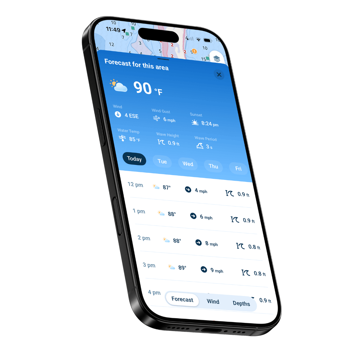
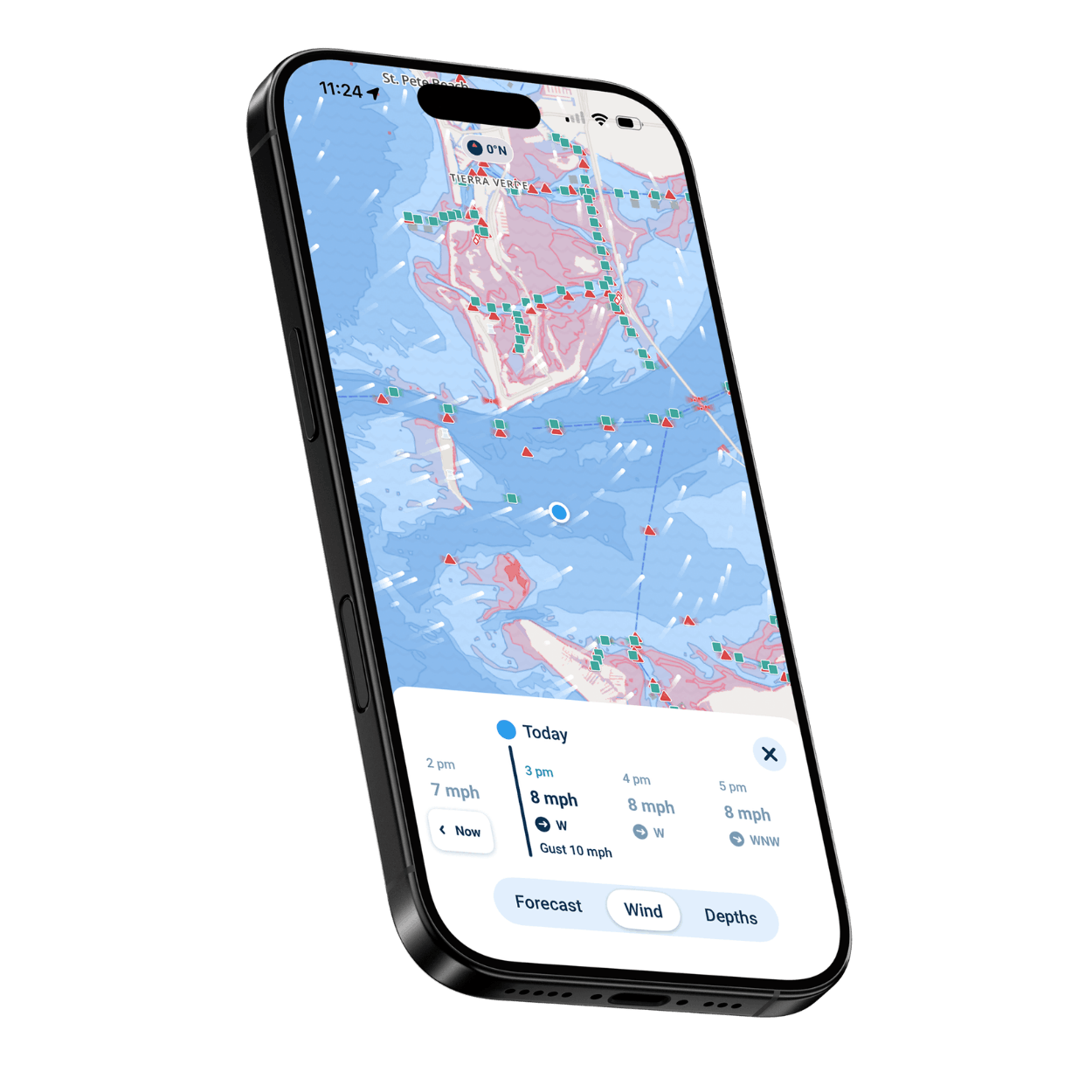
See wind and conditions on the water so you can pick the right day and the right side of the bay.

Works Offline

Keep navigating when the cell signal drops offshore or deep in the mangroves.

Who Wavve Is Built For

Florida Flats and Inshore Anglers

Work the flats and mangroves with clear depth so you stay in the fish and off the bottom.

Gulf and Offshore Boaters

Plan the run, watch the weather, and track your position out to the reef or the rigs.

Florida Sandbar and Day Cruisers

Find the sandbars and anchorages, check the tide, and make it an easy day on the water.

Florida Keys and Island Hoppers

Navigate the channels, cuts, and skinny water from Key Largo to Key West.

New Florida Boaters

A simple, easy-to-read app that helps you learn the water and boat with confidence.

Weekend Cruisers

Everything you need for a relaxed day out, from the ramp to the anchorage and back.
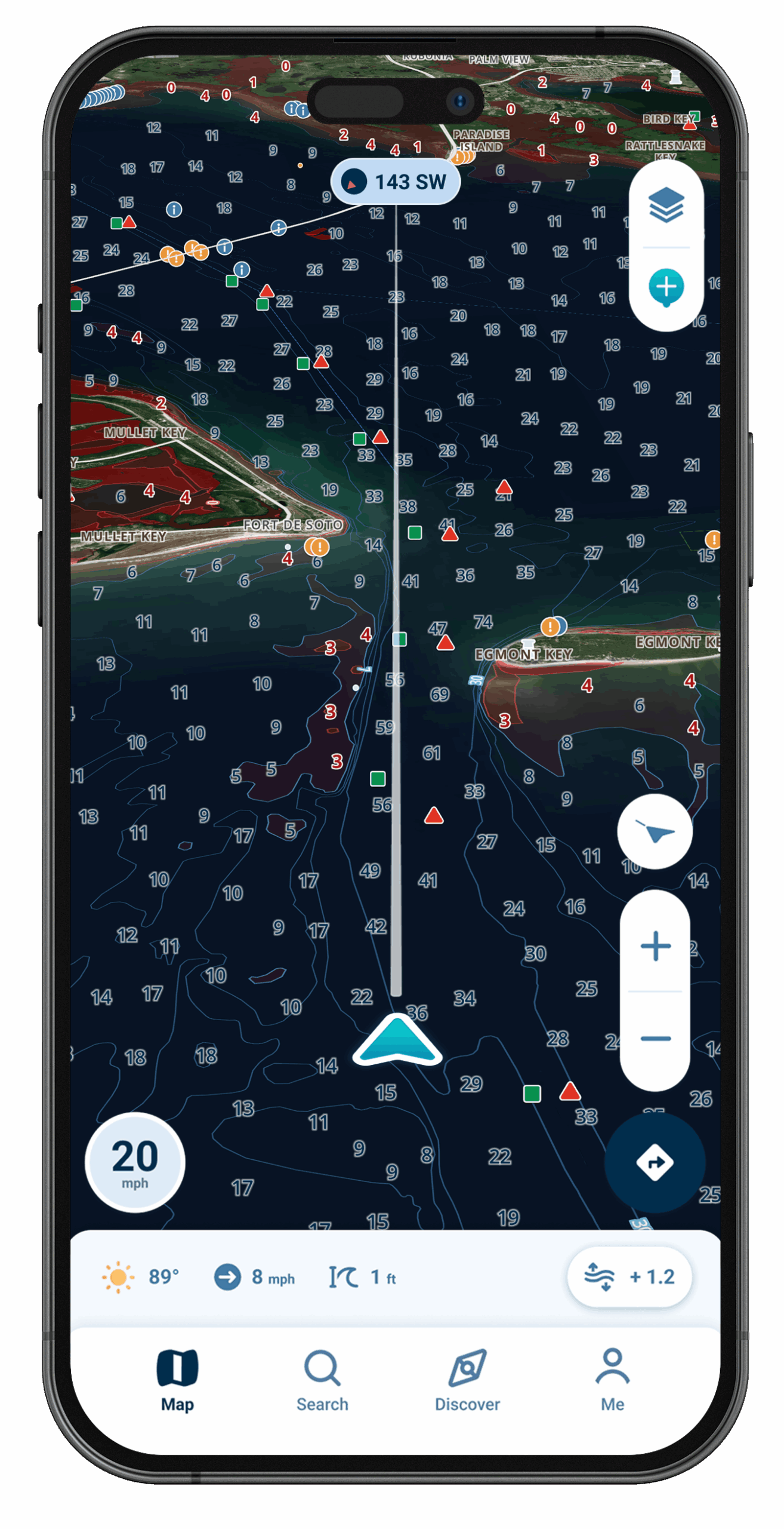
Wavve Boating Satellite View

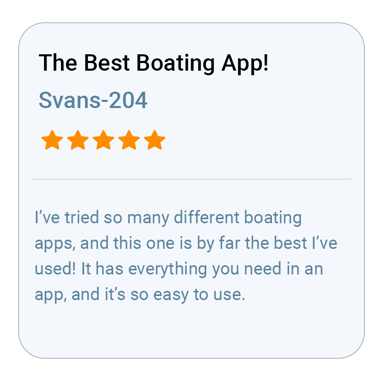
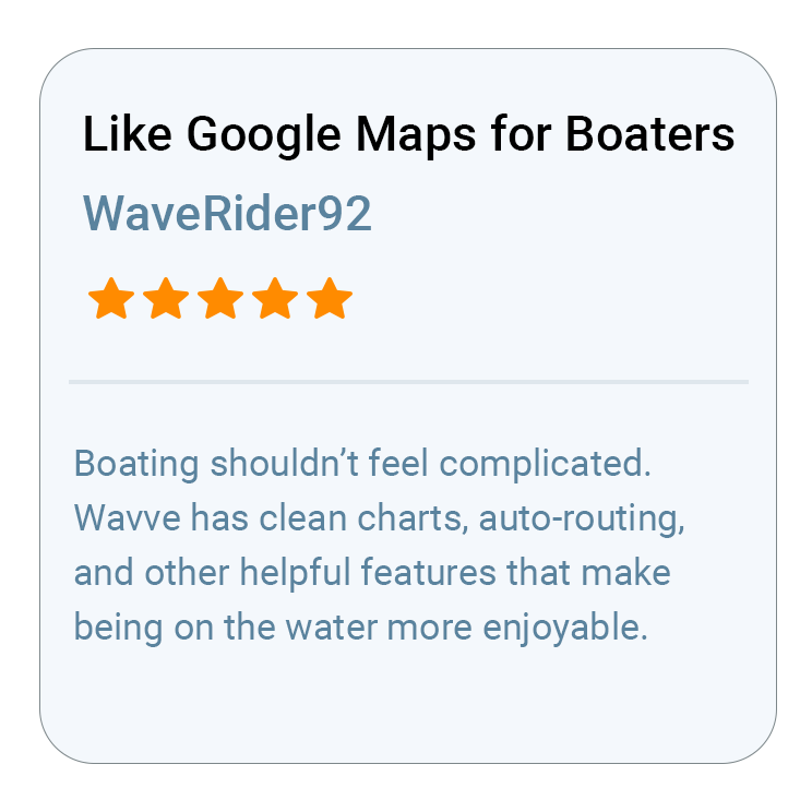
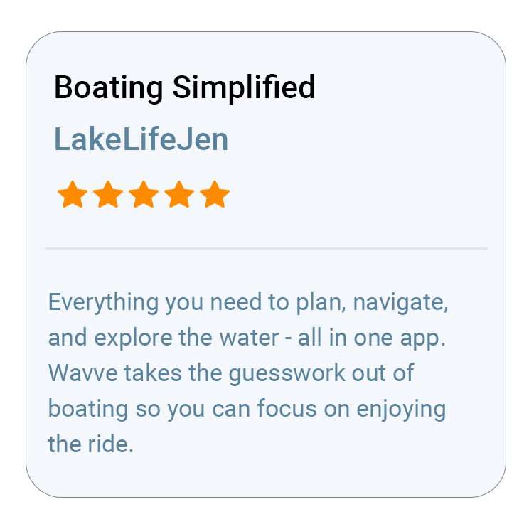
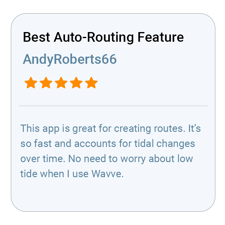
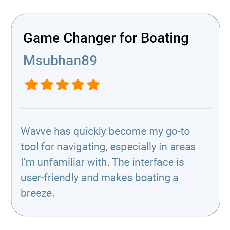
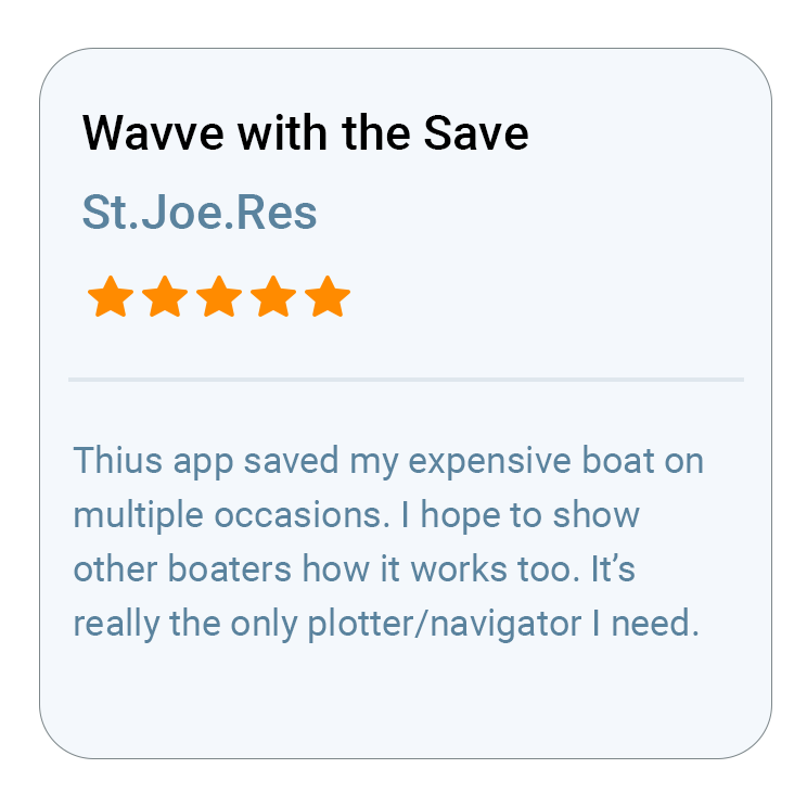
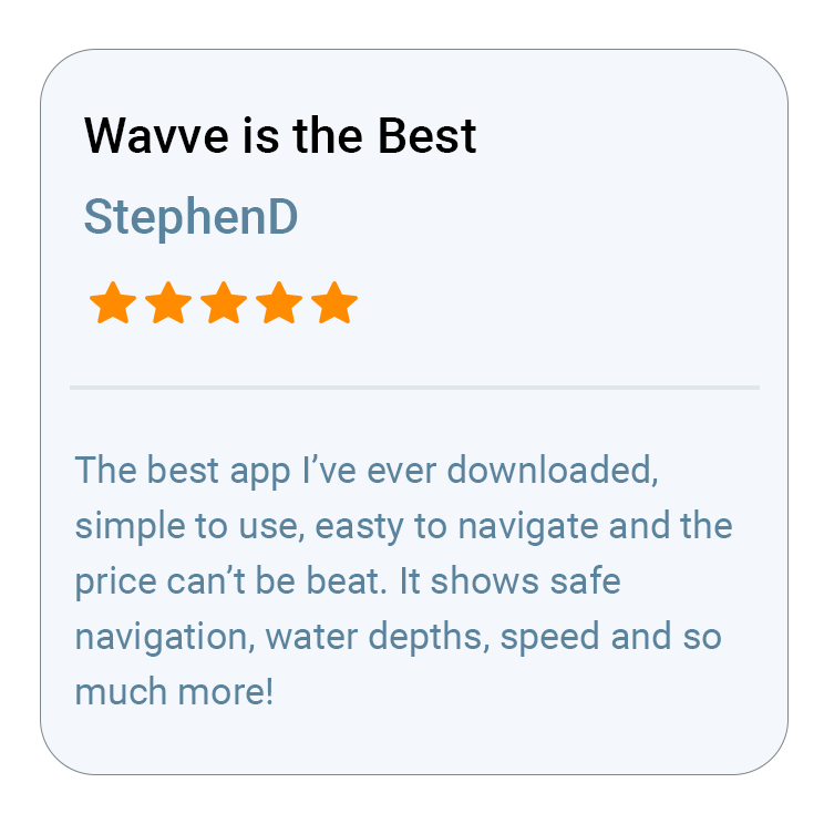
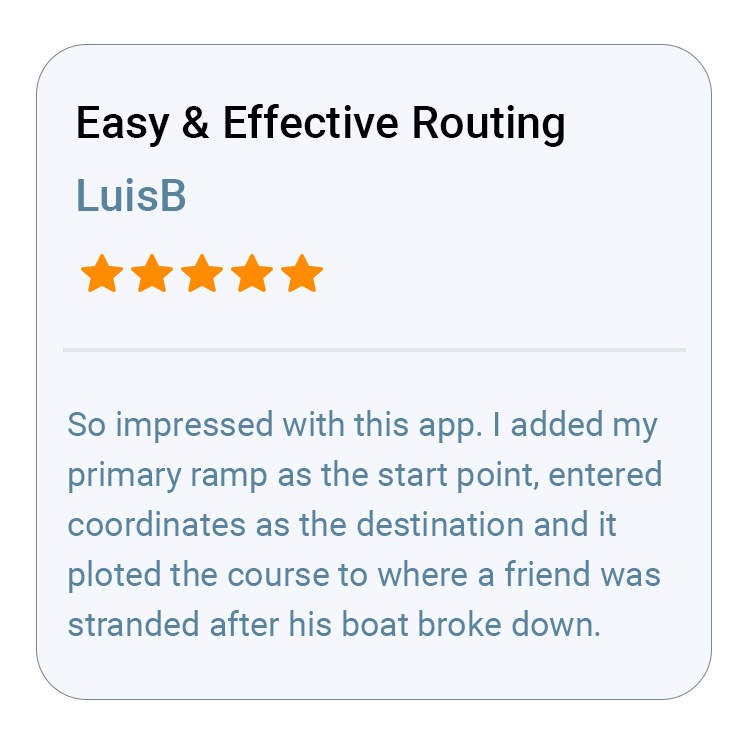
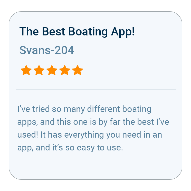
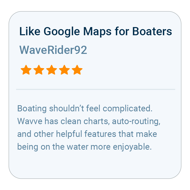
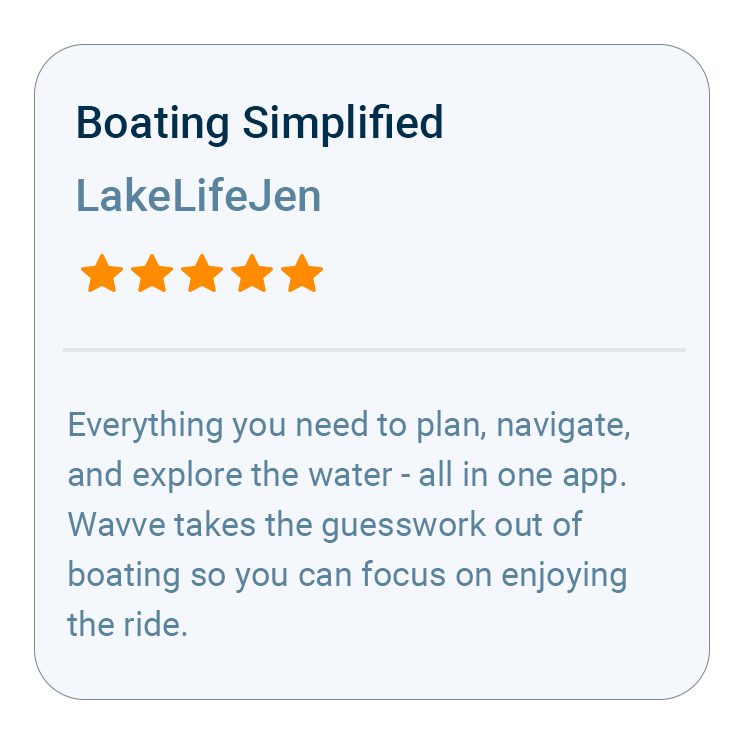
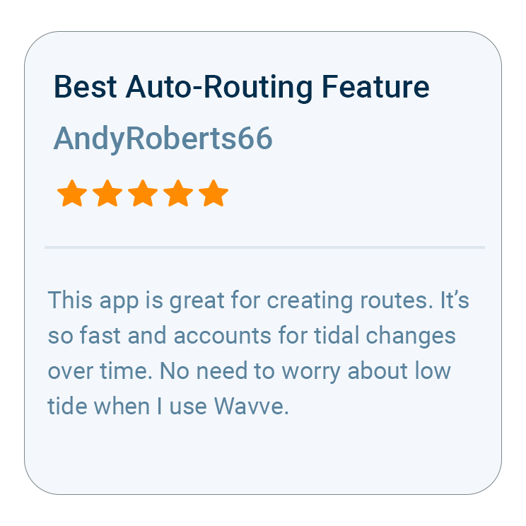
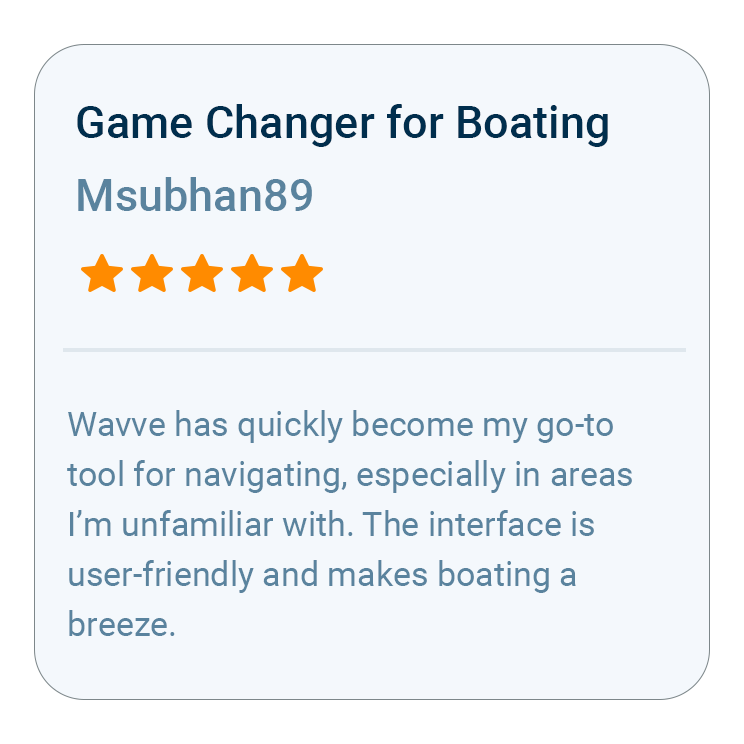
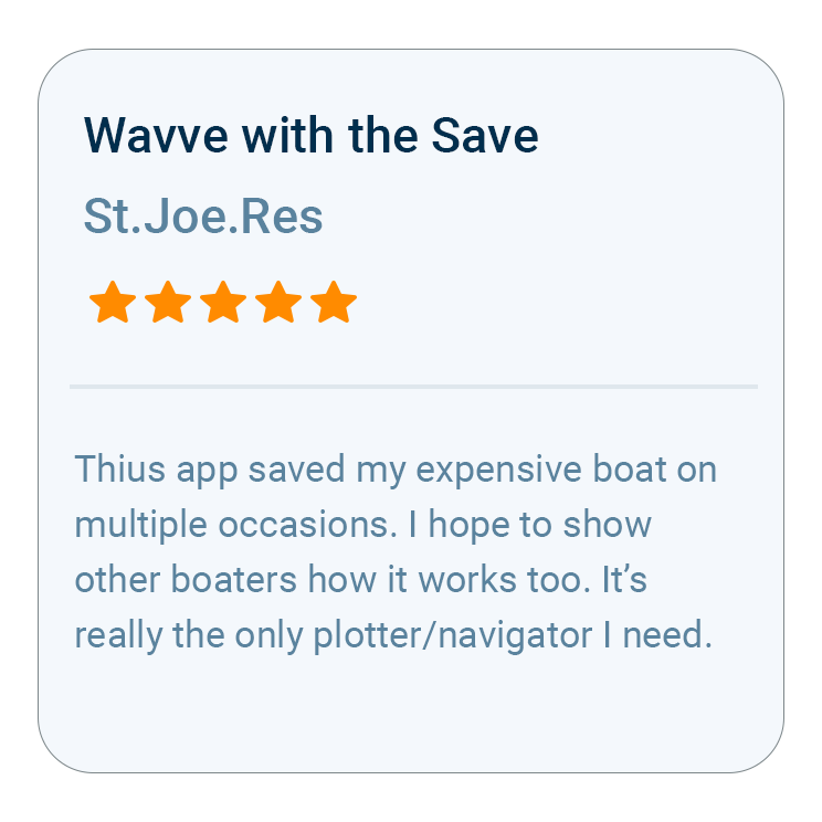
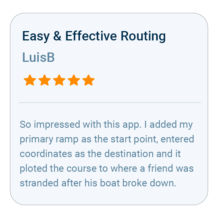
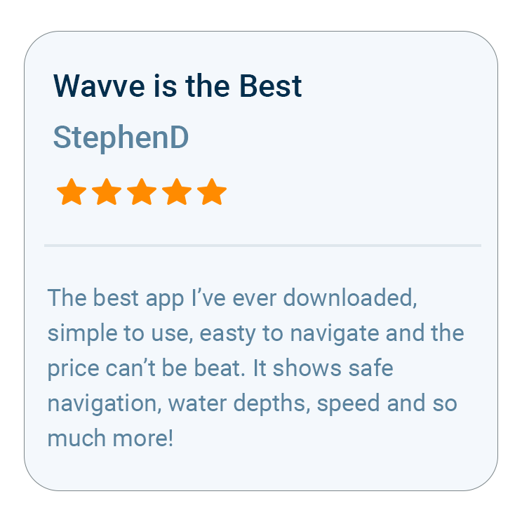
What Boaters Are Saying
FAQs
Wavve Boating is built around the three things that decide a Florida trip: depth, tides, and coverage. Charts customized to your draft, real-time depth shading, and shallow-water alerts are made for Florida’s flats, sandbars, and inlets, so you can run skinny water with more confidence, and detailed charts cover the state from the Panhandle to the Keys.
Wavve provides detailed marine charts from the Gulf beaches and passes of the Panhandle down through Tampa Bay, the Nature Coast, and both coasts of the peninsula. That includes the Intracoastal Waterway, Biscayne Bay, the Ten Thousand Islands, Florida Bay, and the runs out through the Keys, so you are working from charts built for that water.
Yes. Wavve works offline, so your charts, depth, and position keep working when you lose cell signal offshore, out on the flats, or deep in the mangroves. You can load the water you plan to run ahead of time and navigate with confidence even where there is no coverage.
No. Wavve runs right on your iPhone, Android, or tablet, so you get full marine navigation without installing a chartplotter or adding any hardware to the boat. That makes it an easy, affordable way to put charts customized to your draft and live depth on any boat, from a flats skiff to a center console.
Wavve is a paid membership with two options: a flexible Monthly membership, or the Annual membership, which is the best value and the most popular choice. Customers selecting an Annual membership can try Wavve Boating free for 14 days, so you can test it on the water before you commit.
Getting started takes about a minute. Download Wavve Boating on your iPhone, Android, or tablet, start your free trial, then open the app, set a destination, and start navigating with confidence.

How To Get Started

Download_icon

Download Wavve Boating on iPhone, Android, or Tablet

Free to download on your iPhone, Android, or tablet.

no cost icon

Start Your Free Trial

Try Wavve Boating free and see it on the water before you commit.

Start Navigating Easily

Open the app, set your destination, and start navigating with confidence.

Trusted by Top Brands in Marine
Trusted by Marine Industry’s Top Brands

Navigation and AutoRouting for Florida Waters

Wavve Boating is a marine navigation app built for the shallow, fast-changing water Florida boaters run every day, and its job is to keep you off the bottom. Charts customized to your draft and real-time depth shading show sandbars, flats, oyster bars, and shoaling channels clearly, so a skinny spot is something you see coming instead of something you find with the lower unit. When you set a destination, Wavve’s AutoRouting lays out a water-aware path that accounts for depth, giving you a safe line through inlets, passes, and the Intracoastal Waterway instead of a straight line across a flat. You can follow that route turn by turn, watch the depth update as you run, and adjust on the fly when wind or tide moves the water around. Whether you are running the ICW, crossing a bay, or working out an inlet, Wavve keeps the depth picture updated for today’s water, which is exactly what Florida boating demands.

Wavve Boating App Satellite View

Tides, Weather, and Wind on Florida’s Coast

Knowing the conditions before you leave the dock is half of boating in Florida, and Wavve Boating puts that information in one place. You get real-time tides and water levels for the exact water you are headed to, so you know whether there is enough water to cross a bar, run a flat, or push into a backcountry creek, and when the tide will turn against you on the way home. Live wind and weather overlays show current wind speed, gusts, and shifting conditions right on the map, so you can pick the right day, the protected side of the bay, and the safest window to run offshore. Once you are on the water, Wavve keeps updating those conditions as they change, which matters when a Florida afternoon builds a storm out of a clear morning. Put together, the tide, water-level, and weather picture helps you plan a smarter trip, stay ahead of the weather, and spend more time doing what you came out to do.

What Makes Wavve the Best Marine Navigation App for Florida

Wavve Boating is built for Florida boating because it pairs chart data from official and third-party sources, including NOAA, with depth shading customized to your own boat’s draft, so the water on screen is the water you can actually run. Florida punishes generic charts. A flat that floats a kayak will stop a center console, and a bay that looks open on a road map is laced with bars, grass, and oyster. Wavve personalizes that picture to your vessel instead of showing one depth for every boat, and it runs on the phone or tablet already in your pocket, so there is no dash hardware to buy or replace. Offline Maps let you download your area before you leave service, which matters in the backcountry and well offshore, and your GPS position keeps working without a signal. Wavve Points add the local layer, with community-shared ramps, marinas, fuel stops, and hazards. If you are comparing marine navigation apps for Florida, start with the one that knows your draft.

Marine Navigation From the Panhandle to the Florida Keys

Wavve Boating covers Florida’s coastal waters, from the Panhandle and the Gulf Coast to the Atlantic Intracoastal Waterway and the Florida Keys. Those regions boat nothing alike, and the app adjusts with you. Running the ICW means watching shoaling at the inlets and tracking bridge to bridge, where draft-customized depth shading and a water-aware route keep you in the channel instead of on the edge of it. Gulf Coast runs out of the Panhandle or southwest Florida mix long open water with shallow approaches, so tides and water levels decide whether a pass is worth crossing that afternoon. In the Keys, the margin between a channel and a coral head is thin, and clear depth with saved waypoints matters more than speed. Backcountry and inland runs trade markers for mangroves, where Offline Maps and GPS keep you oriented past cell service. Coverage keeps expanding, so check your home water on the coverage map at wavveboating.com/map and request it if it is not there yet.

Wavve Boating Logo

Start Your Next Ride With Wavve

Join thousands of riders using Wavve Boating to explore new water, stay off the shallows, and navigate with confidence.

QR Code