Best Marine Navigation App With Free Trial

Test Wavve Boating on your own water before you commit, on a map personalized to your boat’s draft.

Wavve Boating App Navigation

What to Test During Your Free Trial
Run Your Home Water First

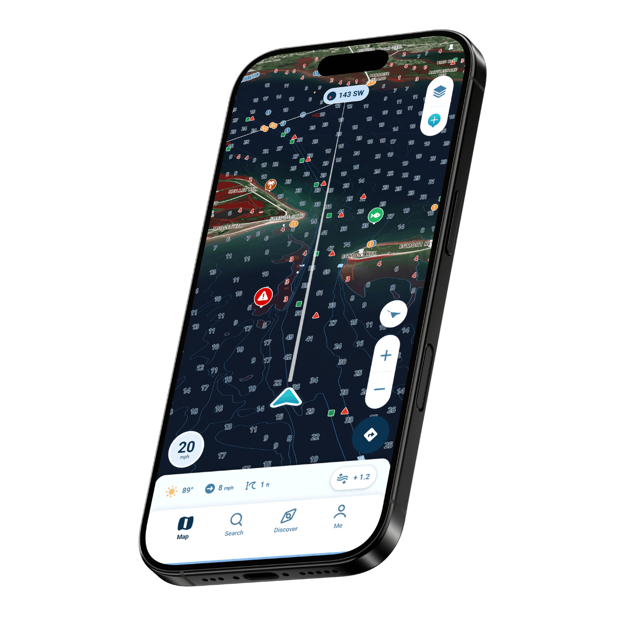
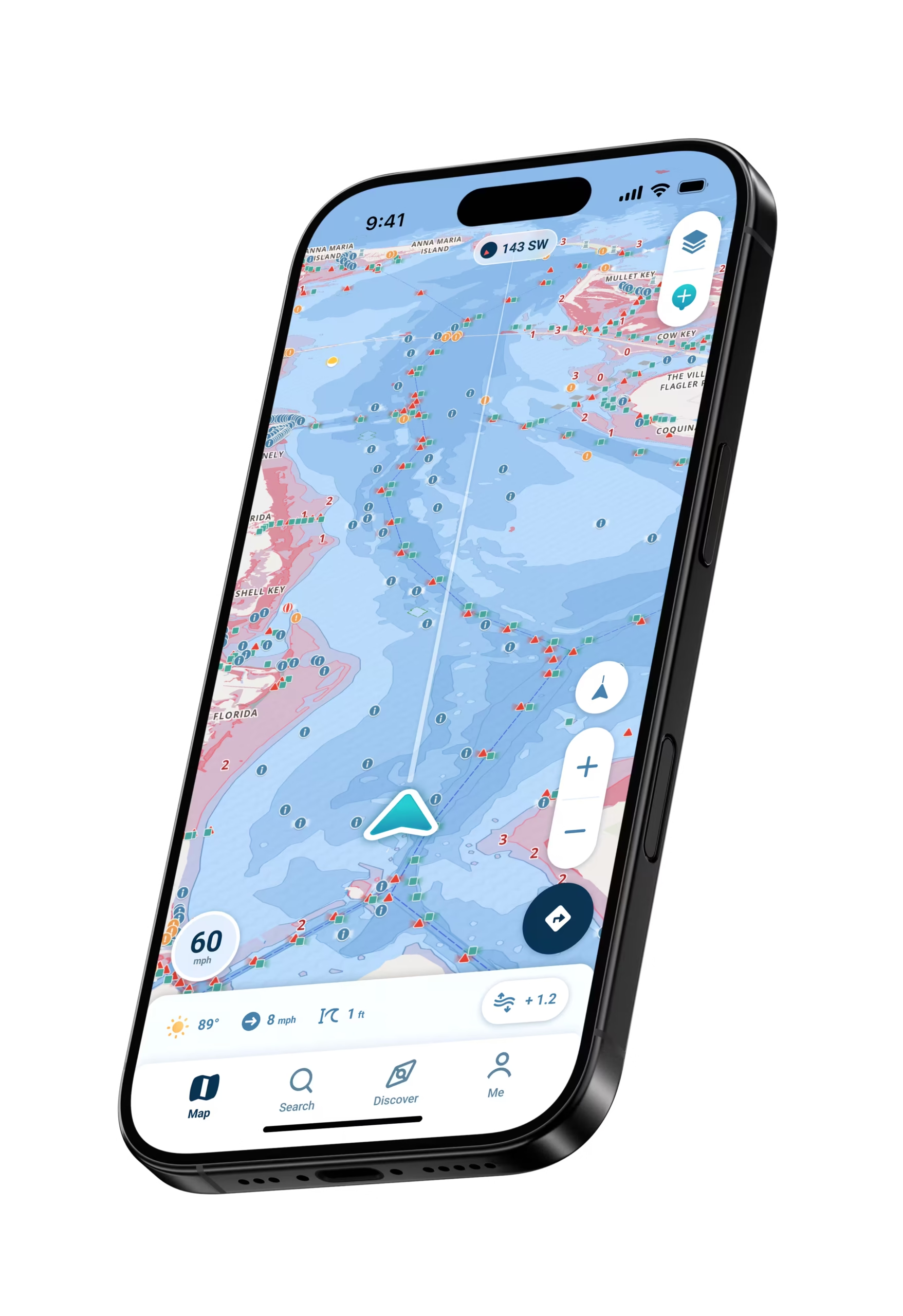
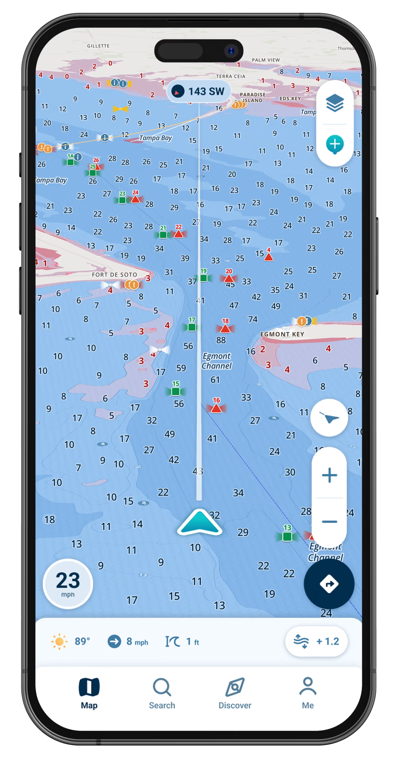
Enter your boat’s draft and watch red shading mark the shallow spots on the water you already know.

Warnings That Fit Your Boat

Shallow-water alerts adjust to the draft you enter, so each warning fits the boat you are actually running.

Easy to Learn on Your First Outing

Tap a map symbol for a plain explanation, and the chart is designed to stay readable at a glance and in bright sun.

Check Coverage Before You Start

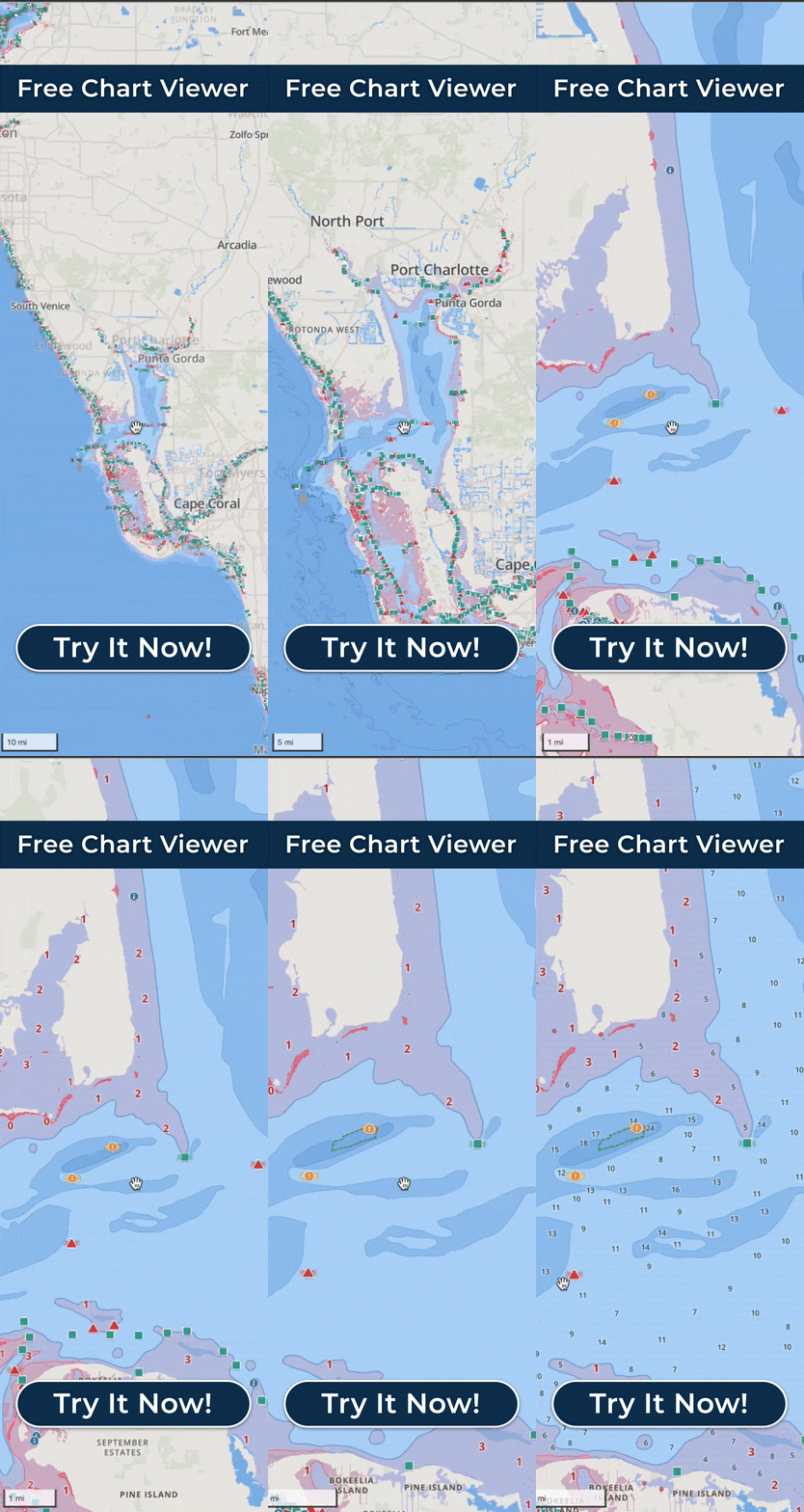
Look up your waterway on the coverage map or in the Free Web Chart Viewer before your trial begins.

Offline Charts Past Cell Service

Run past your last bar of signal with the area downloaded, and watch Wavve show Offline Mode as your position keeps moving.
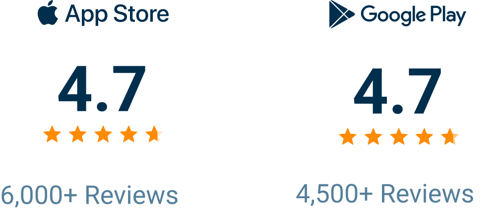
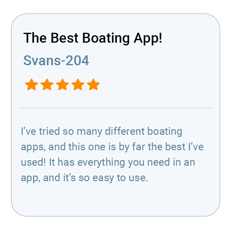
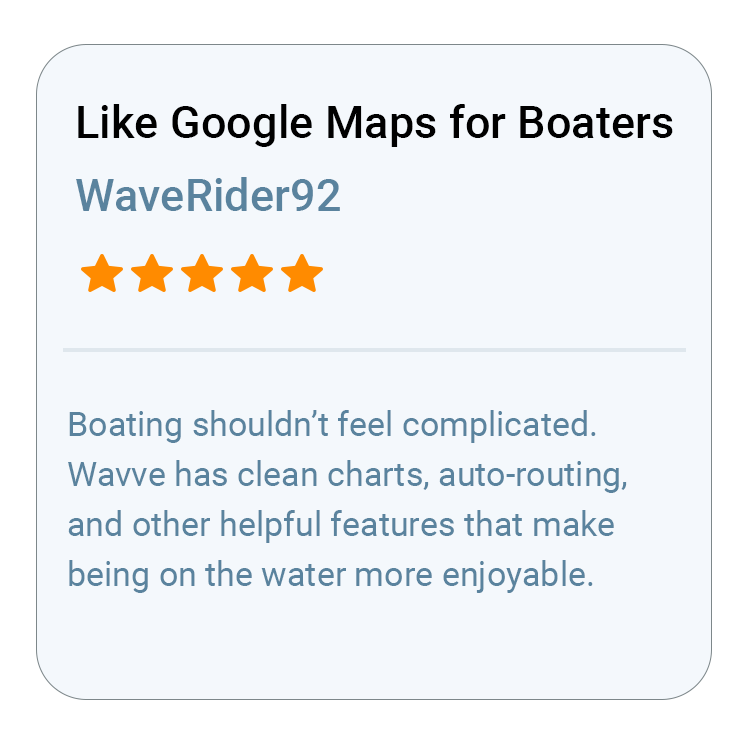
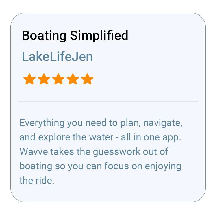
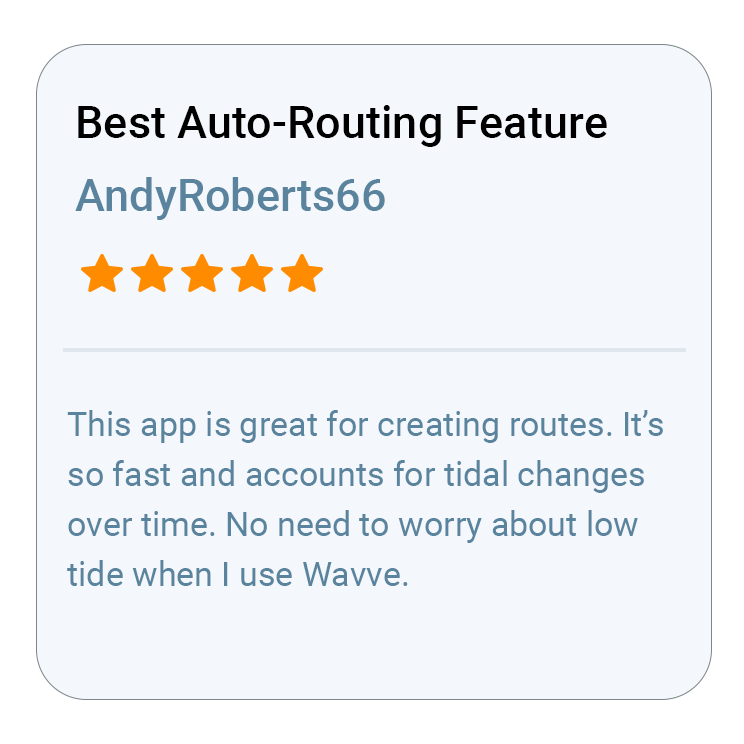
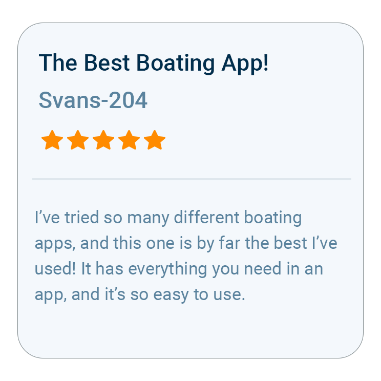
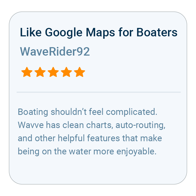
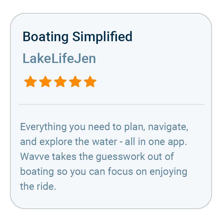
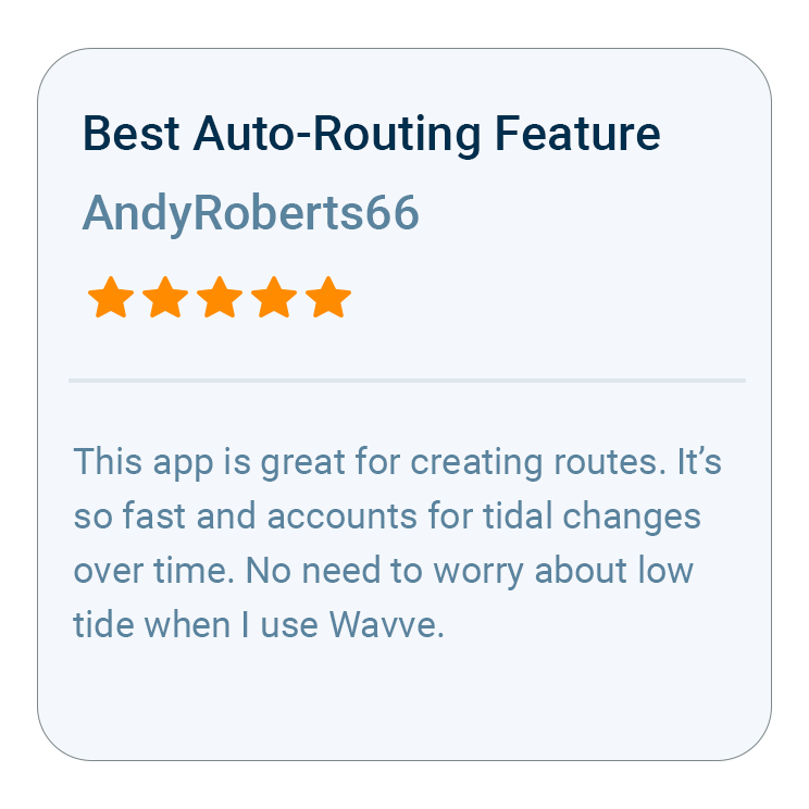
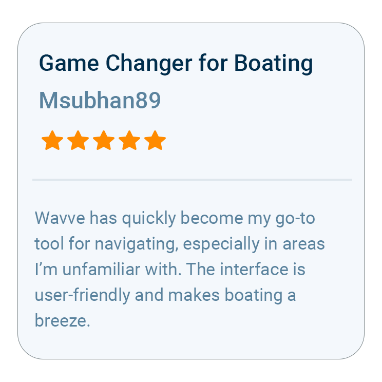
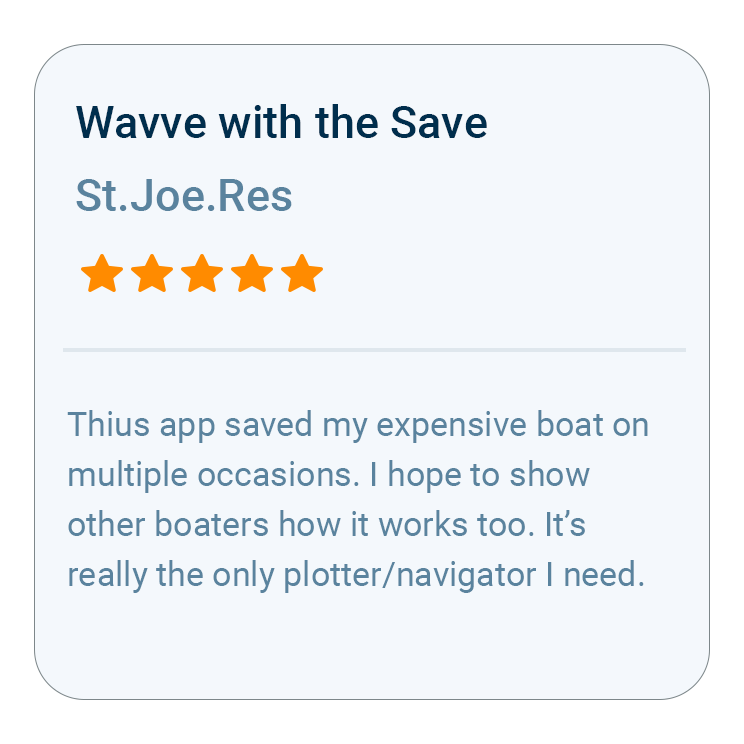
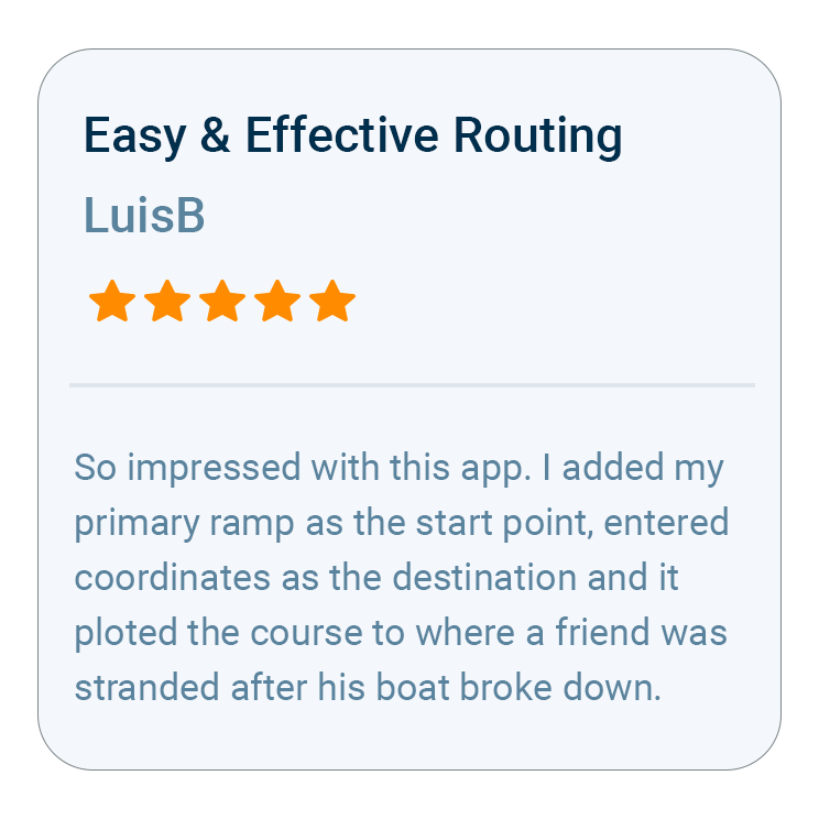
Try the App Behind 10,000+ Five-Star Reviews

Wavve Boating Rating

Why Trying Wavve First Is the Smart Move

A navigation app is hard to judge from screenshots. What counts is how it reads on your water, set to your boat’s draft, on a bright afternoon with the throttle down. Wavve Boating lets you find that out firsthand. The free trial leaves time for real outings on your own water. Set your draft, run a route you know by heart, and see how the red shading lines up with the spots you have learned to steer around. There is no chartplotter to install and no extra electronics to buy, only the phone or tablet you already carry, running the app that was the most-downloaded marine navigation app in the U.S. and Canada in 2025 and 2026.

What Your Free Trial Includes

AutoRouting

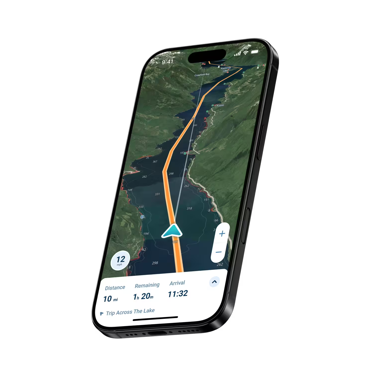
Pick a start and a finish and get a route that weighs channels, obstacles and water depth against your draft.

Dynamic Depths

Live depth shading that moves with the tide and seasonal water levels, so the map fits the water you have today.

Offline Maps

Download the area you plan to run, and your charts and GPS position keep working with no signal.

Seven-Day Marine Forecast

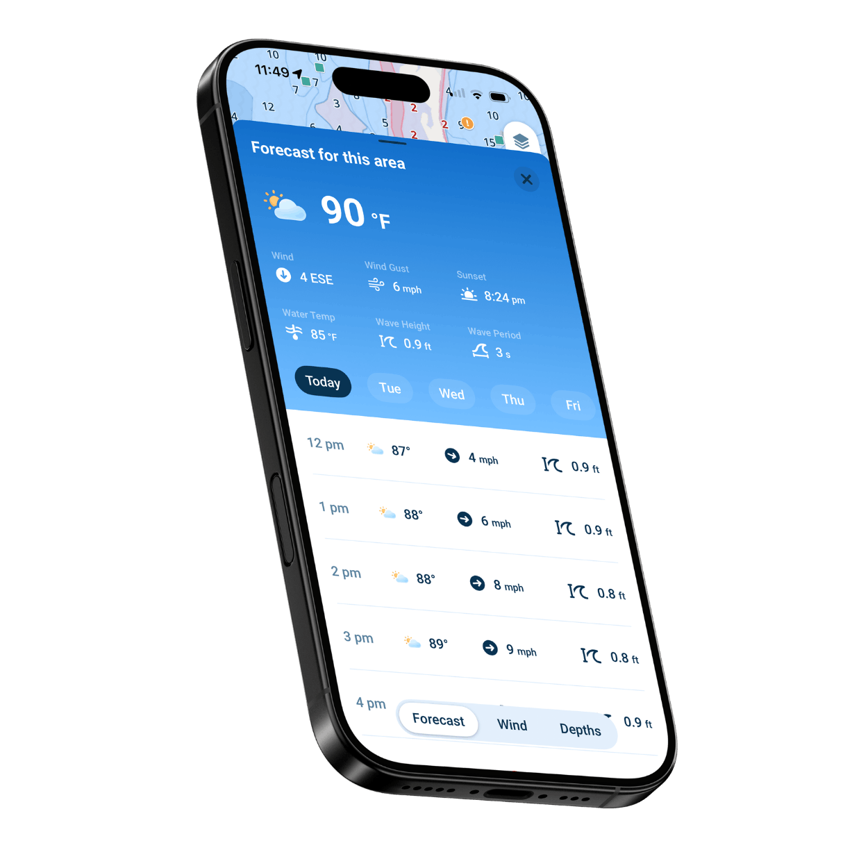
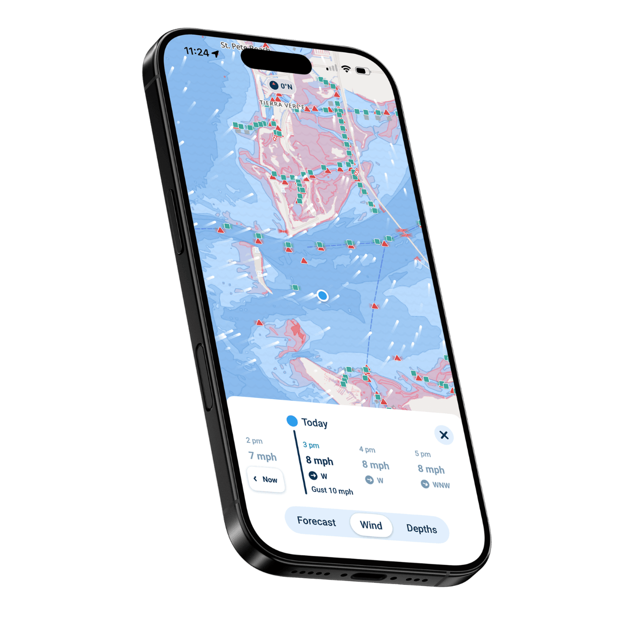
Hour-by-hour wind, gusts, wave height and wave period, color-coded so a rough afternoon stands out.

Wavve Points

Boat ramps, marinas, fuel docks and hazards marked by other boaters, plus private spots you save for yourself.

Shallow Alerts on Your Wrist

Pair an Apple Watch with your iPhone and feel a haptic warning when the water starts getting thin.

Who Should Take the Free Trial

Boaters Comparing Navigation Apps

Run Wavve beside the app you use now and keep whichever one reads your water best.

First-Time Boat Owners

Get comfortable with charts, markers and depth during your trial, while your boat is still new to you.

Anglers Checking Their Spots

Save private fishing spots as Wavve Points and look at the depth contours over your best water.

Jet Ski and PWC Riders

Turn the phone already in your pocket into a navigation tool and see how it handles a day of riding.

Chartplotter Owners

Try Wavve as a planning tool and a backup in your pocket alongside the electronics you have.

Lake and Weekend Boaters

Confirm your lake is on the coverage map, then spend a weekend learning where it gets shallow.
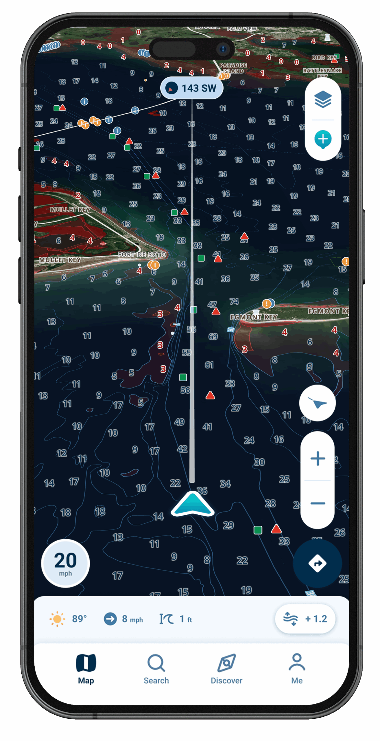
Wavve Boating Satellite View

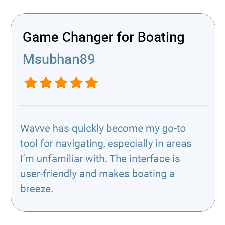
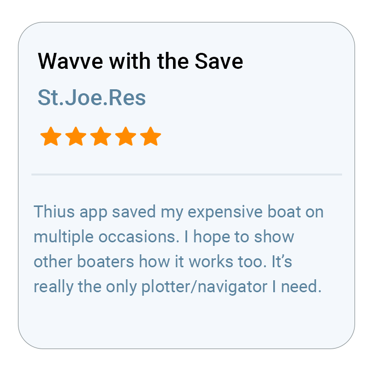
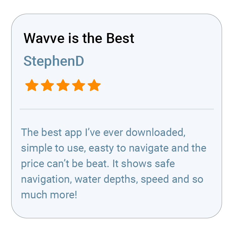
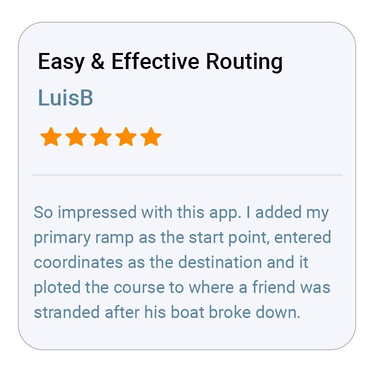
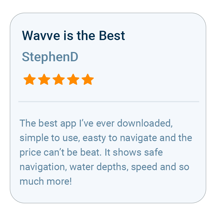
What Boaters Are Saying
Questions About the Free Trial
Customers selecting an Annual membership can try Wavve Boating free for 14 days, so you can test it on the water before you commit. A valid payment method starts the trial, and unless you cancel, it becomes a paid Annual membership. Where your purchase platform supports it, you get a reminder before that happens.
No. Wavve is free to download, but it runs on a paid membership, either Monthly or Annual. The two free ways in are the trial that comes with the Annual membership and the Free Web Chart Viewer, which lets you explore charts and plan routes in a desktop or laptop browser.
The Monthly membership does not currently include a free trial, since the trial comes with the Annual membership only. Monthly gives flexible month-to-month access for a short season, while Annual is the most popular plan and the better value, costing about what a boater might spend on a single traditional paper chart.
Cancelling stops your membership from renewing at the end of the current billing period, and you keep using Wavve for the time you have already paid for. How you cancel depends on where you signed up, because Apple, Google Play and Wavve’s website each handle billing their own way.
Yes. Wavve’s online coverage map (wavveboating.com/map) shows where chart data exists, and the Free Web Chart Viewer lets you look over the charts in a browser before you download anything. If your water is not covered yet, you can send Wavve a coverage request.
Wavve runs on iPhone, iPad, and Android phones and tablets, and its Apple Watch app works alongside your iPhone. There is no chartplotter or added hardware to buy, though some iPads and tablets lack built-in GPS, so use a GPS-capable device for positioning while you are underway.

How To Get Started

Download_icon

Download Wavve Boating on iPhone, Android, or Tablet

Free to download on your iPhone, Android, or tablet.

no cost icon

Start Your Free Trial

Try Wavve Boating free and see it on the water before you commit.

Start Navigating Easily

Open the app, set your destination, and start navigating with confidence.

Trusted by Top Brands in Marine

Trusted by Marine Industry’s Top Brands

What to Test Before You Commit to a Marine Navigation App

Start a Wavve Boating test by entering your boat’s draft, because every depth color and shallow-water alert on the map is built around that number. Then cruise a stretch you know well and see whether the red shading lands on the shallow spots you already steer around. Plot a route between two places you run often, choose an AutoRoute Mode (Prefer Channels, Most Direct or Balanced), and see how it handles the channel and the flats with your draft accounted for. Download that area with Offline Maps, move somewhere with no bars, and check that your charts and GPS position keep working. Pull up the hour-by-hour forecast for wind, gusts, wave height and wave period, and drop a private Wavve Point on a spot worth coming back to. Last, look at the screen in full sun, where Wavve’s map is designed to stay easy to read.

Wavve Boating App Satellite View

Why Wavve Is the Best Marine Navigation App With Free Trial

Wavve Boating is a marine navigation app for recreational boaters, and in 2025 it surpassed Navionics as the most downloaded boating app in North America. Customers selecting an Annual membership can try Wavve Boating free for 14 days, so you can test it on the water before you commit. Boating Industry recognized three of its features as Top Products: the Discover Tab in 2024, Dynamic Depths in 2025 and AutoRoute Modes in 2026. Its chart data comes from official and third-party sources, and Wavve personalizes that data to your boat’s draft rather than showing one depth for every hull. It runs on iPhone, iPad and Android phones and tablets, with an Apple Watch companion that buzzes your wrist when the water starts getting thin. The app is built for weekend runs, fishing trips and family days, not for commercial ships or busy commercial harbors.

Marine Navigation on Lakes, Rivers and Tidal Water

Dynamic Depths combines charted depth with your boat’s draft and local water-level or tide data, so it works a little differently on each kind of water. On tidal coastline it shows each day’s high and low, which lets you time a bar crossing or the run home. On reservoirs and inland lakes it follows local water-level data as the lake rises and drops through the season, and where no water-level station sits nearby you can set the level by hand. Thousands of inland lakes carry Wavve chart data, from Lake of the Ozarks and Lake Lanier to Lake Winnipesaukee, along with rivers such as the St. Lawrence and the River Thames. Water-level and weather updates need a connection, while charts saved with Offline Maps stay on your phone when the signal drops.

Marine Navigation Coverage in North America, the UK, Ireland and Australia

Wavve Boating charts recreational water in the United States, Canada, the United Kingdom, Ireland and Australia, along with select island waters in the Bahamas, Turks and Caicos, the Virgin Islands, Puerto Rico and Hawaii. U.S. coverage includes the Great Lakes, the New England coast, Chesapeake Bay, the Atlantic Intracoastal Waterway, the Florida coast and Keys, the Gulf Coast and Puget Sound. In Canada it covers the St. Lawrence and the 1000 Islands, Georgian Bay, the Trent-Severn and Rideau waterways and the British Columbia coast, and in the UK it runs from the Solent and the English Channel to the west coast of Scotland. Australian boaters get Sydney Harbour, Moreton Bay, Port Phillip Bay, the Whitsundays and Tasmania. Wherever Wavve has depth data, the shading is personalized to the draft you enter, so the same water reads differently for a flats skiff and a sailboat. Coverage varies inside each region, and the coverage map and Free Web Chart Viewer show your exact water. If it is missing, a coverage request goes to Wavve’s Mapping team, and Customer Success reaches out once that water is available.

Wavve Boating Logo

Start Your Next Ride With Wavve

Join thousands of riders using Wavve Boating to explore new water, stay off the shallows, and navigate with confidence.

QR Code