Why Boaters Choose Wavve Boating for Marine Navigation
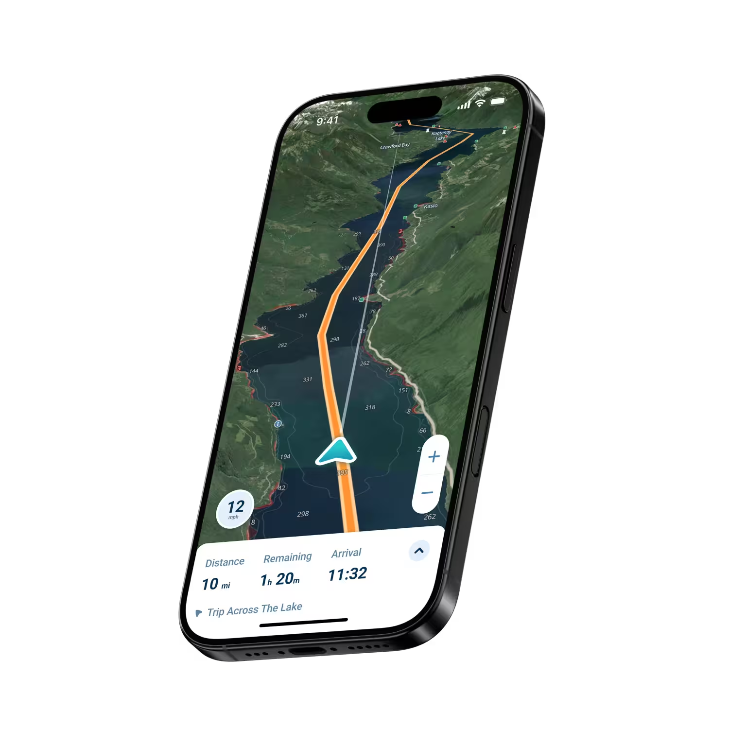
Plan Routes With Award-Winning AutoRouting
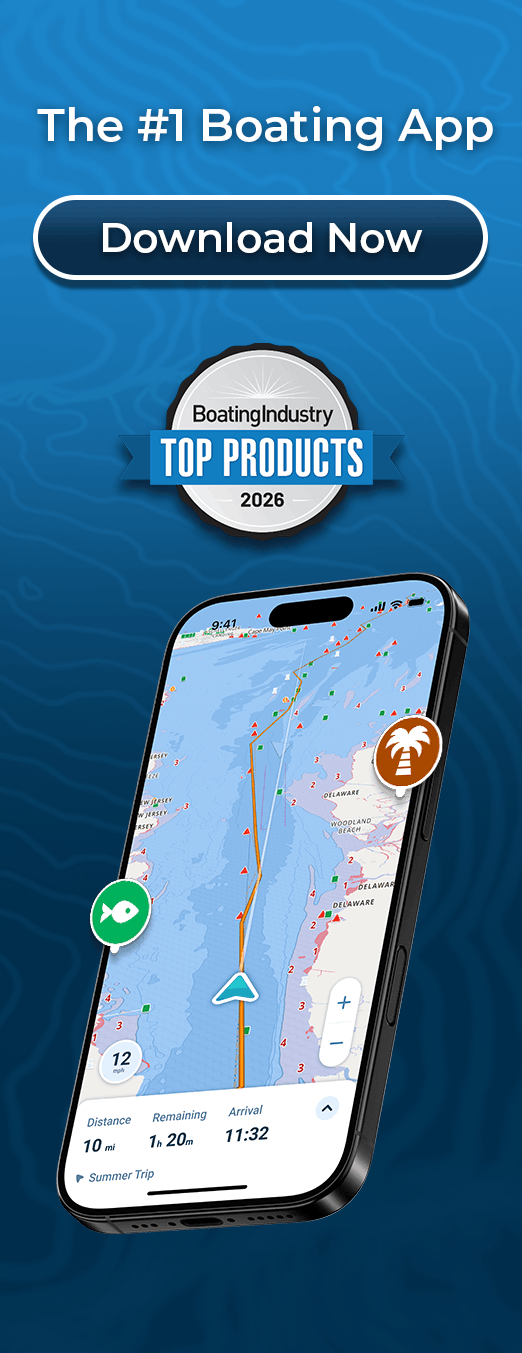
Choose a destination and AutoRouting suggests a course based on available chart information and your boat’s draft, helping you plan before leaving the dock.
Dynamic Depths for Tides and Water Levels
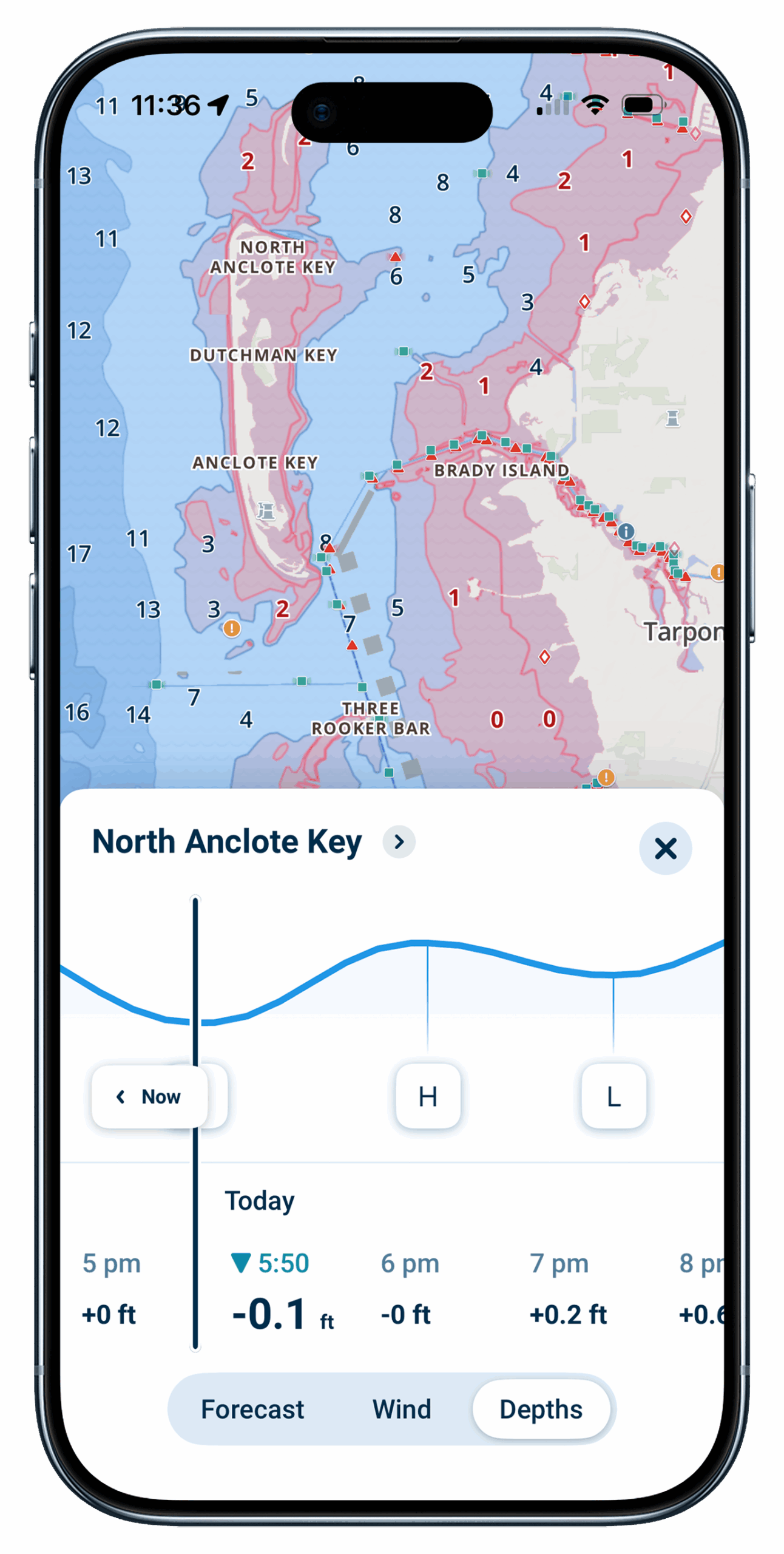
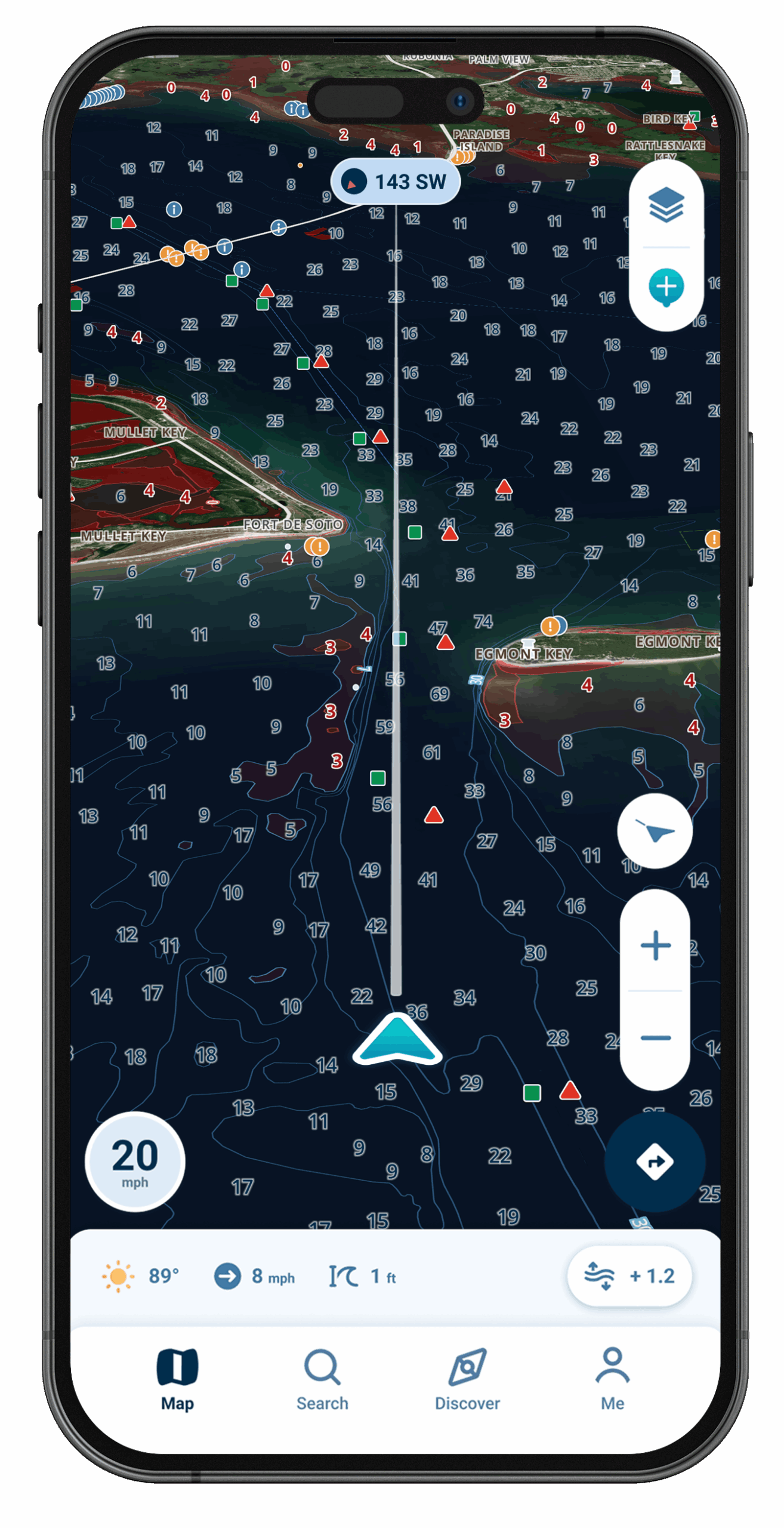
Dynamic Depths combines charted depth information with your vessel’s draft and available tide or water-level data, helping the map better reflect changing conditions.
Offline Maps for Navigation Without Cell Service
Download a selected map area before departure so chart data remains available even if you lose your connection.
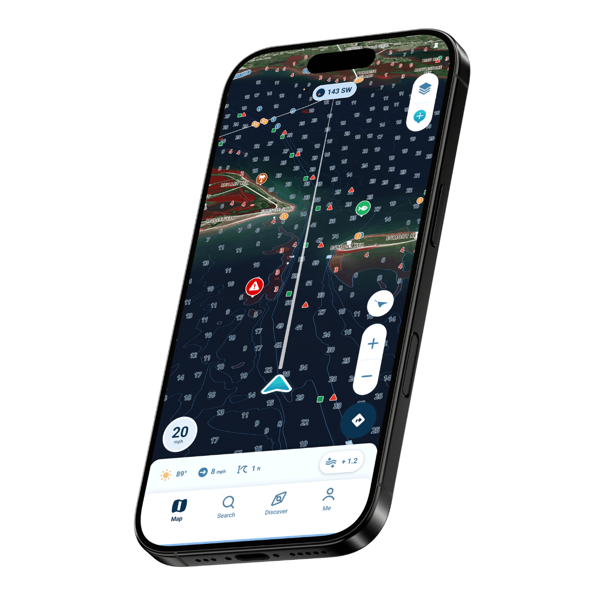
Nautical Charts Customized to Your Draft
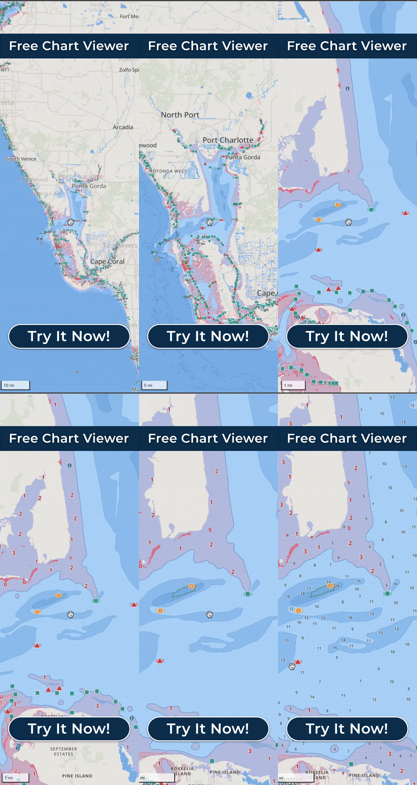
Enter your boat’s draft to customize the Wavve Boating Map and highlight potentially shallow areas, helping you see where to take extra care.
Chart Data From Official and Third-Party Sources
Charts draw on official and third-party sources, including NOAA and USACE on U.S. water, and cover thousands of lakes.
What Recreational Boaters Need in a Marine Navigation App
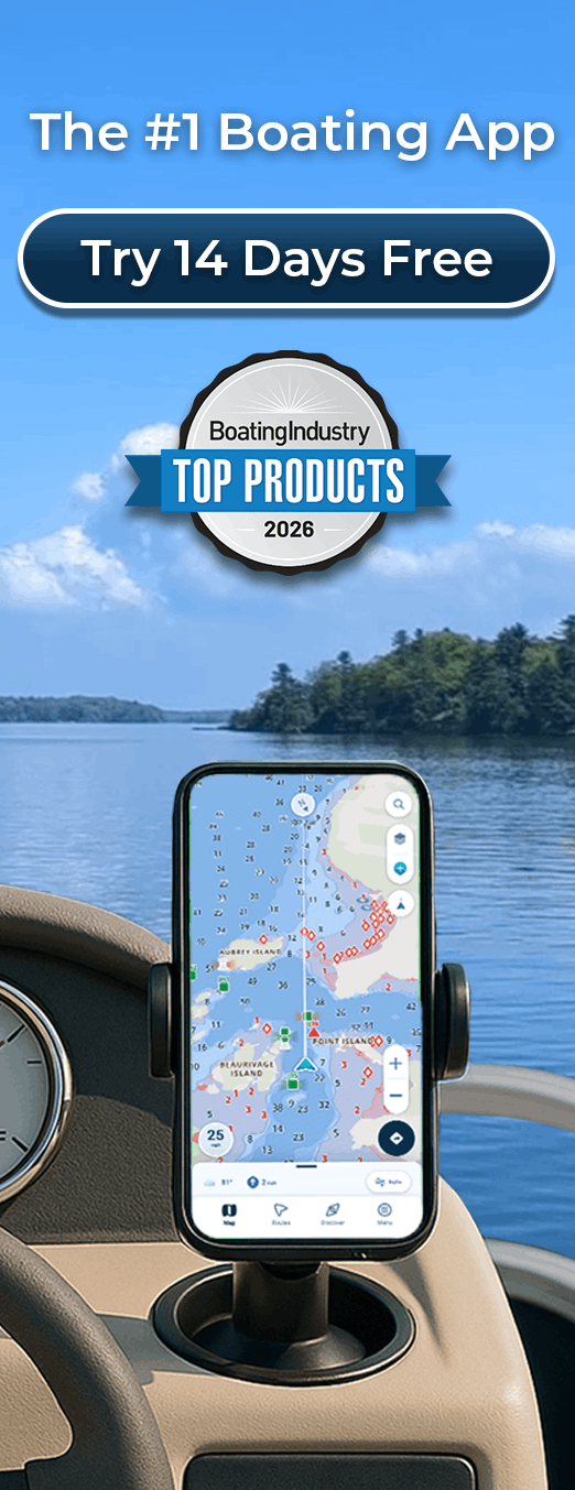
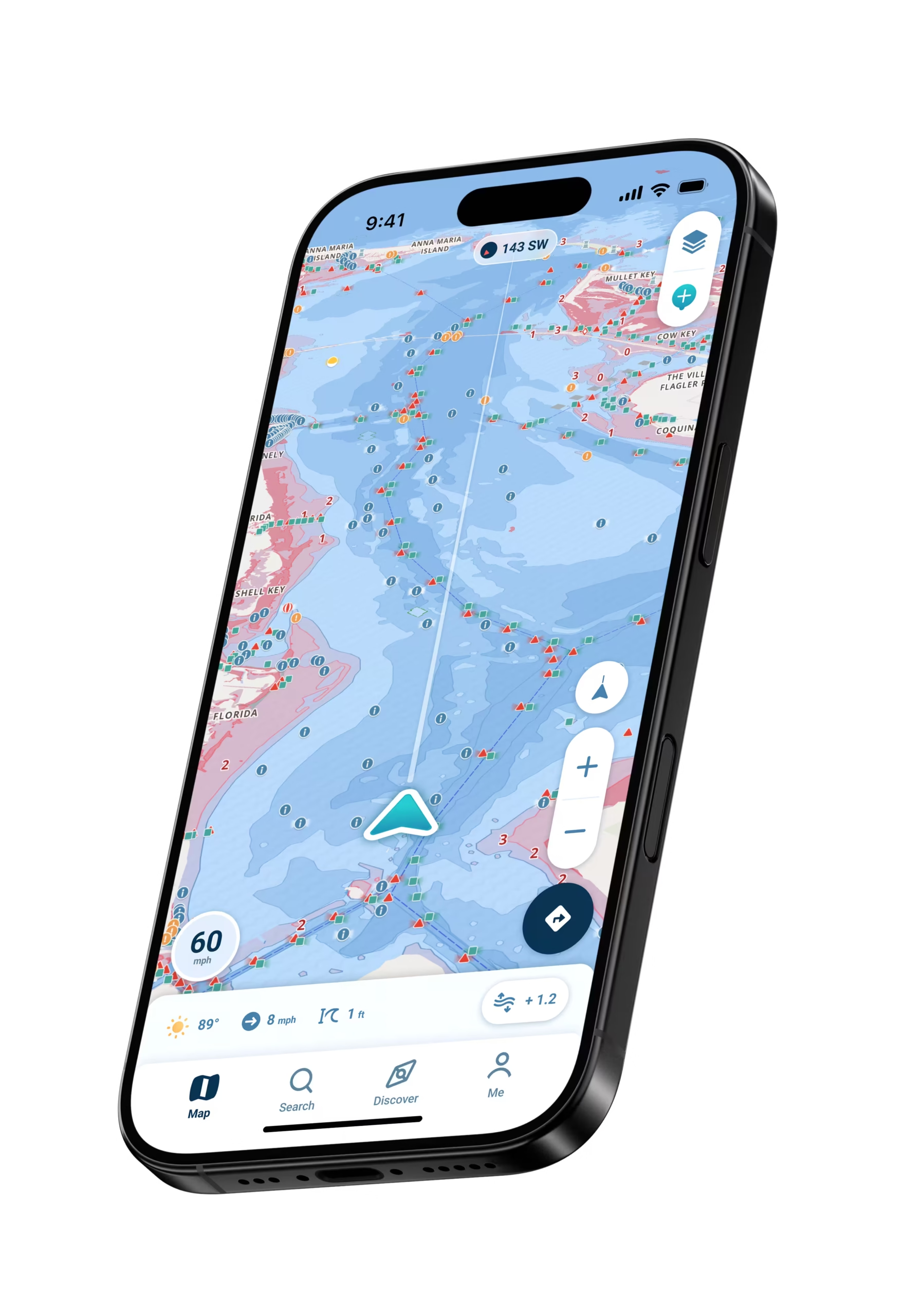
Recreational boaters choosing a marine navigation app want to see the water clearly, plan a course, and follow it, without adding hardware to the boat. Wavve Boating turns the phone or tablet you already carry into an easy-to-use marine navigation tool. Award-winning AutoRouting plans a suggested route with your choice of AutoRoute Modes, and Manual Routing lets you set the course yourself. Charts customized to your draft and Dynamic Depths help you understand the water along the way. On the water, your GPS position helps you follow the planned route, shallow-water alerts help you stay aware of potentially shallow areas, and Offline Maps keep downloaded chart data available beyond cell service.

Who Uses Wavve Boating for Marine Navigation?

New Boat Owners
Build confidence on the water with charts customized to your draft, map symbols that explain themselves with a tap, and AutoRouting.
Experienced Boaters and Chartplotter Owners
Plan routes from the couch, keep Wavve Boating as a secondary navigation option, and transfer routes to a compatible chartplotter by GPX file.
Coastal Boaters
View daily high and low tide information with Dynamic Depths, and choose the Prefer Channels AutoRoute Mode to follow marked waterways.
Lake and River Boaters
Explore charted lakes and rivers with draft-based shallow-water highlighting, Dynamic Depths, and Offline Maps where cell service is limited.
Sailboat Owners
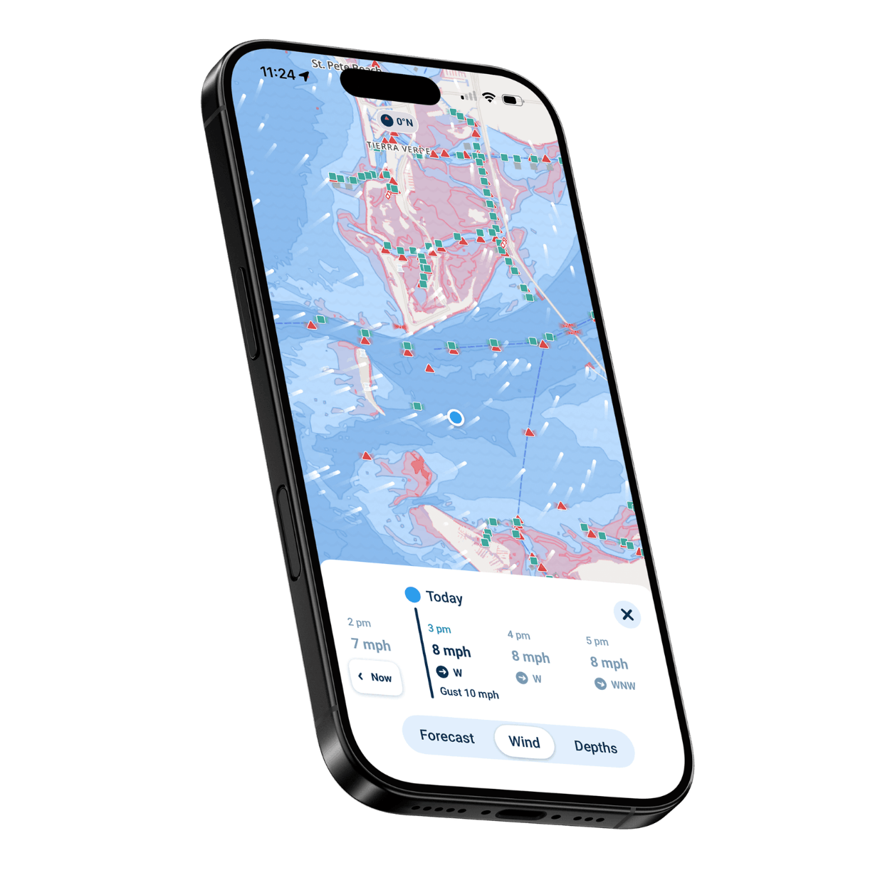
Plan with Manual Routing and the Visual Wind Overlay, view waypoint coordinates in the Free Web Chart Viewer, and review Speed Graphs.
Cruising Boaters
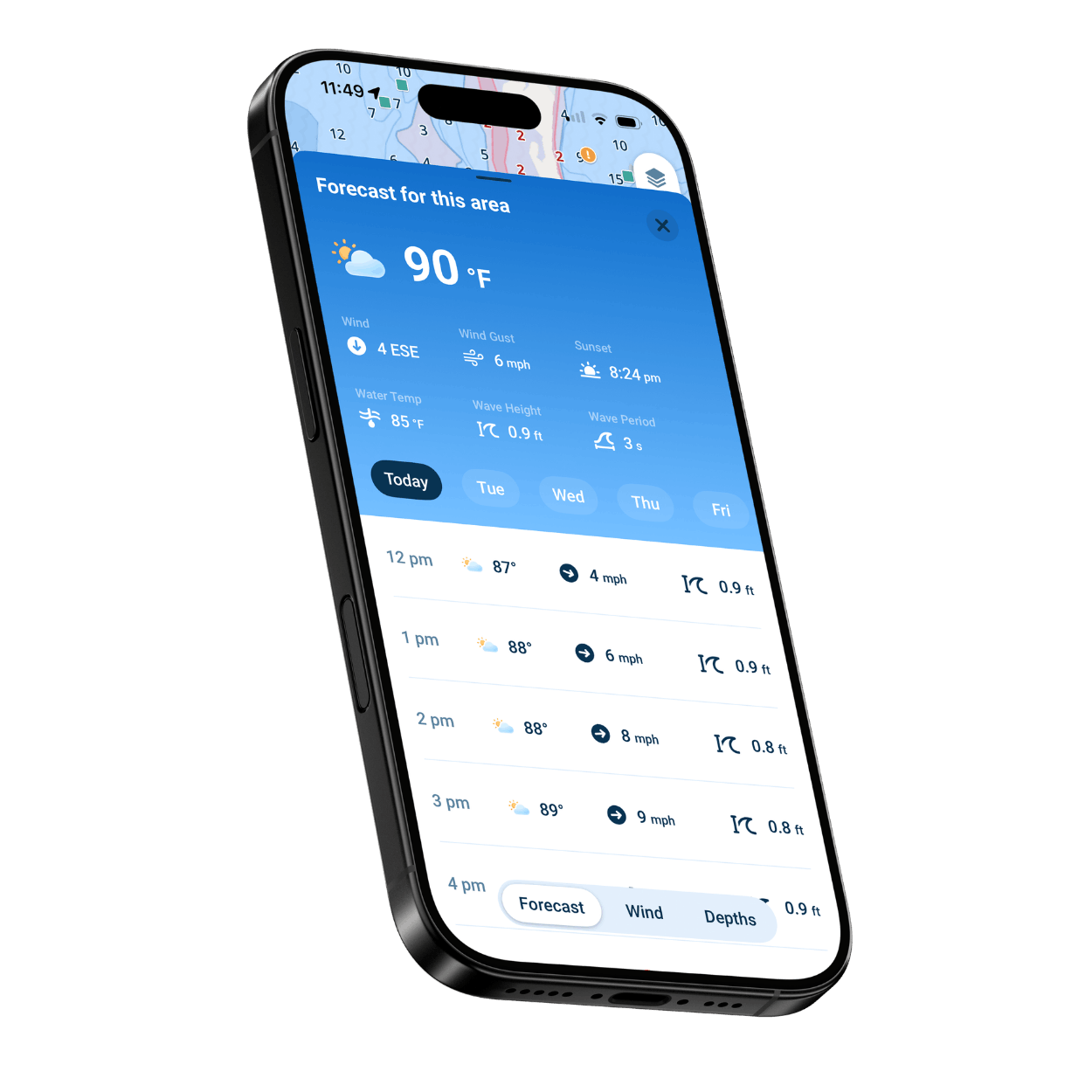
Plan longer days on the water with AutoRouting, Manual Routing, and the Integrated Marine Weather Forecast, then review distance, time, and fuel estimates.
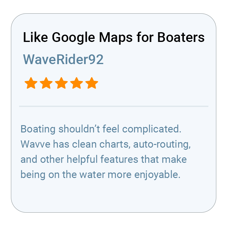
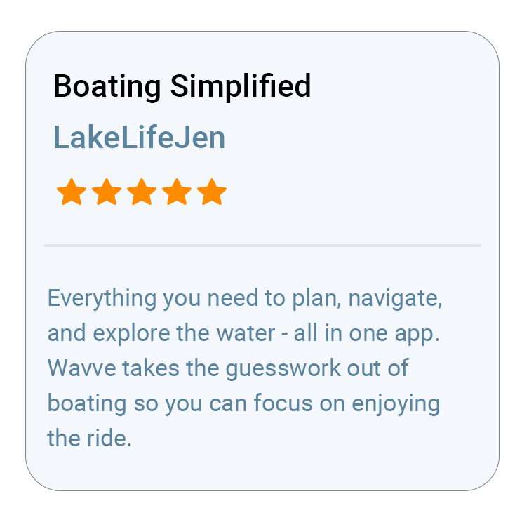
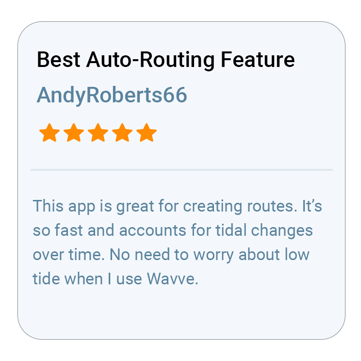
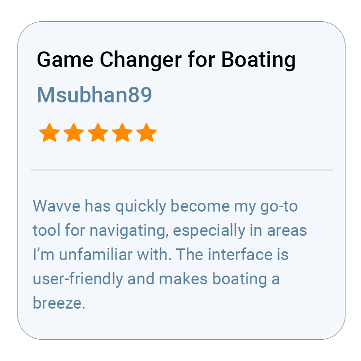
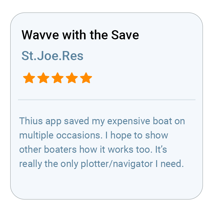
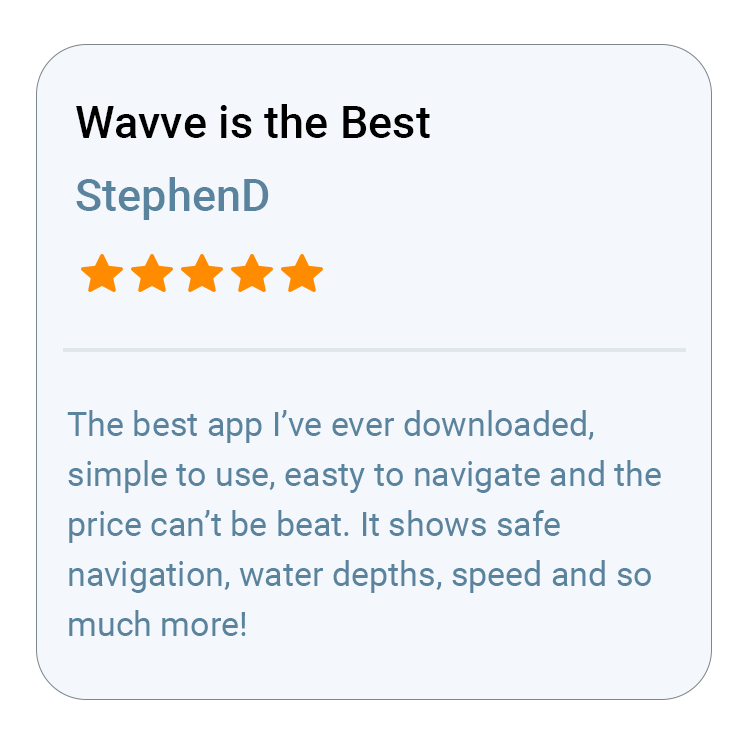
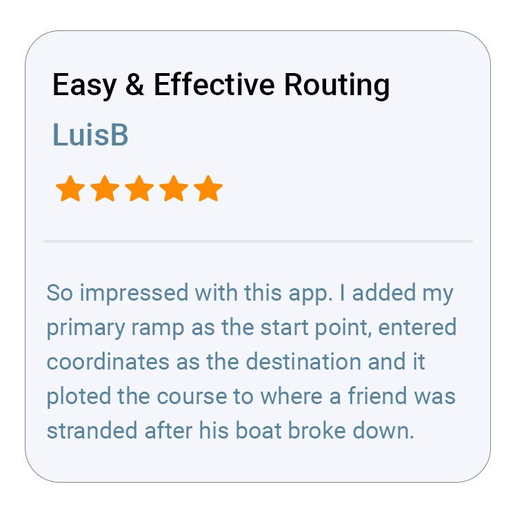
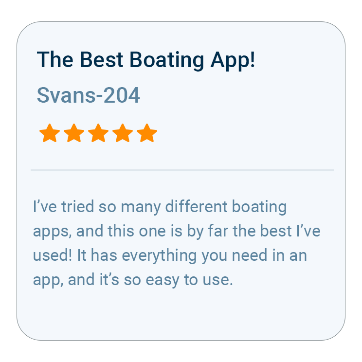
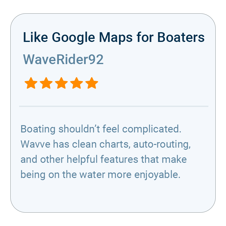
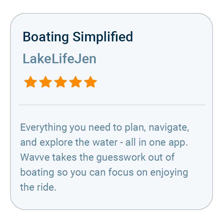
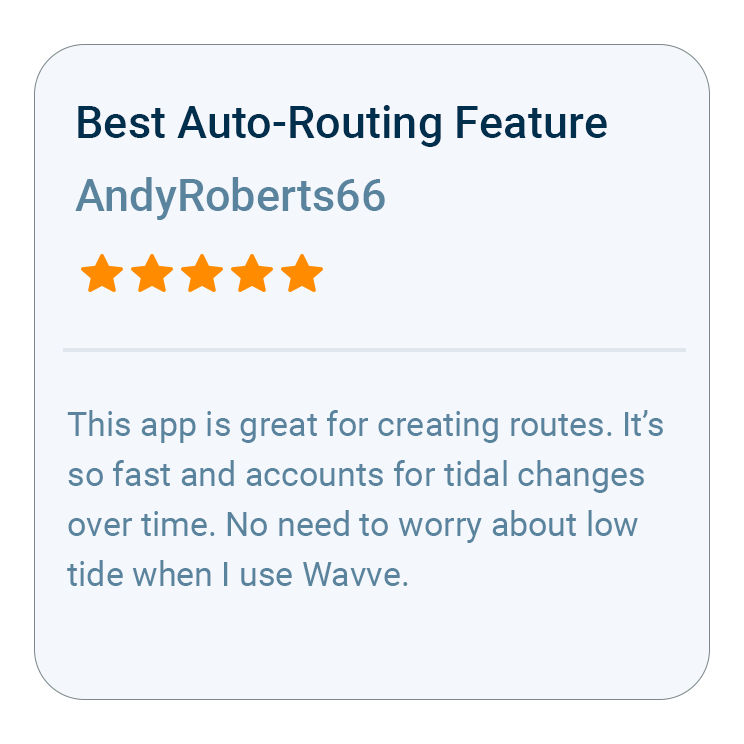
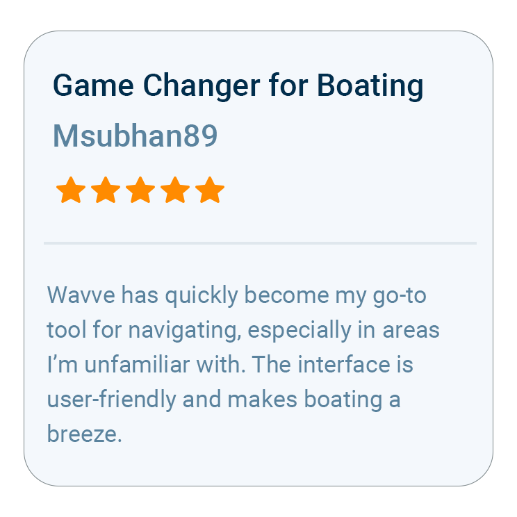
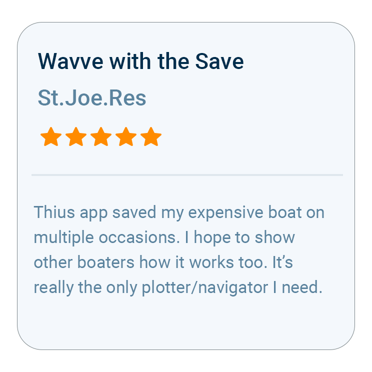
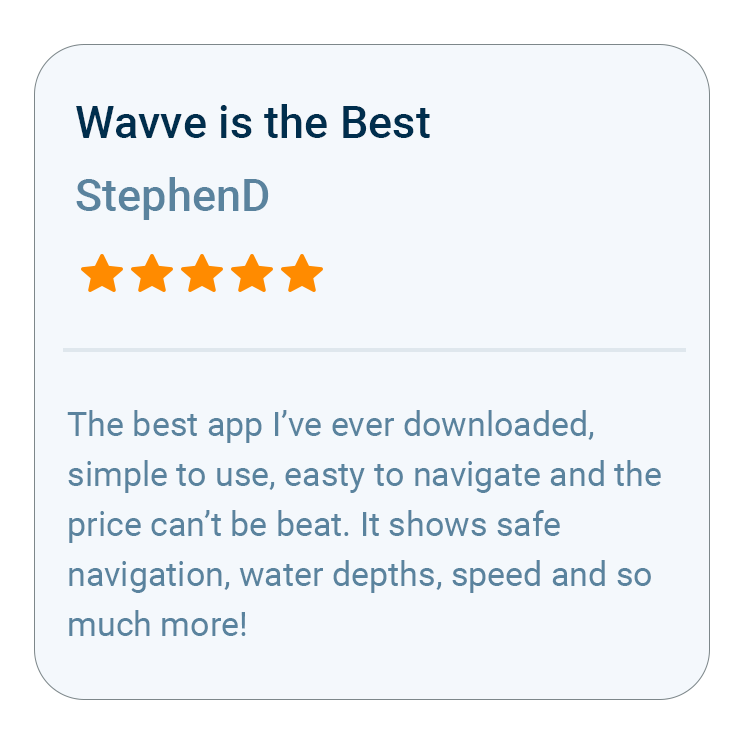
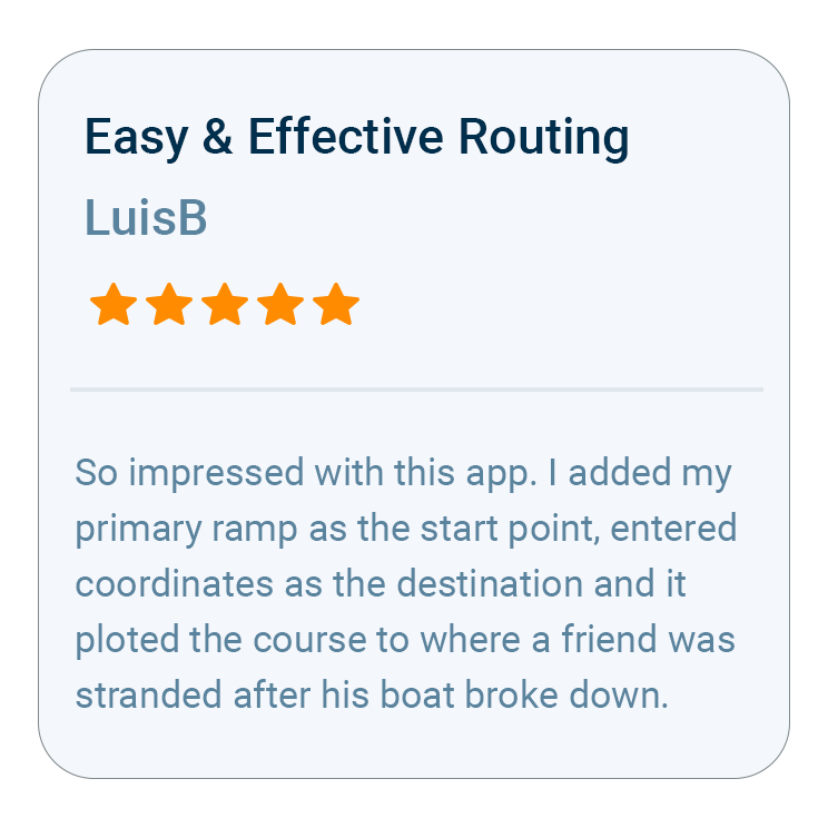
What Boaters Are Saying
FAQs


Trusted by Top Brands in Marine