
Boating is more than just enjoying life on deck, basking in the sun, and fishing. Knowing where to go, and how to get there safely are cornerstones of a great day on the water. Luckily, electronic navigational charts make it easier for recreational boaters to cruise the open waters. We’ve spent a lot of time dissecting C-Map vs Navionics to find which one would be best for:
- Charting
- Fishing
- Satellite Maps
- Lowrance, Simrad, etc., compatibility
Although neither option is quite as user-friendly as our own marine navigation app, both products are still a reasonable choice for many casual and experienced boaters. Let’s take a closer look and see which features you may prefer.
C-Map vs Navionics
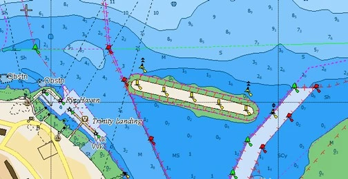
What is C-Map?
C-Map provides accurate worldwide charts for boaters and has remained one of the leading providers of navigational charts since 1985. C-Map’s products differ based on the chart plotter you have as well as the type of layers you’re interested in. For example, if you have a Lowrance® Device, you’ll want to check out their Discover or Reveal products. If you want compatibility with Zeus®, Simrad® or B&G®, you can choose Reveal X or Discover X. Both C-Map Reveal products offer night mode, vector data, satellite overlays and more to help plan your next voyage…whether you’re docking at a marina or planning a weekend of fishing with friends and family.
If you’re like many boaters, the idea of a large and expensive chart plotter may not be in your future. If that’s the case, the C-Map app (available on PC, iOS and Android) is also available and is easy to use. Some of the app’s features include personalizing your experience, planning routes and even saving your favorite fishing spots.
Features include:
- Weather along your entire planned route
- High-Res Bathymetry (HRB)
- Custom depth shading
- Way pointing
- AIS and traffic
Newer and older charts are available for purchase, but the Reveal products offer information that every boater should know, including:
- Tides and currents
- Lake survey information
- Protected marine areas
- Genesis data (community-sourced layers)
If you’re interested in trying a marine navigation app, check out the free preview in Wavve Boating. There’s no sign up required. Simply download the app and check out live boating conditions around your local area.
What is Navionics?
Navionics vs C-Map is a difficult comparison because, in our own experience, we’ve found a lot of great features in both products. One area where Navionics shines is that they have fewer options to choose from.
You can choose to get Navionics on plotter or mobile, and the company’s product cards work for Garmin, Lowrance and other sonar.
I recommend getting the Navionics+ if you like traveling to different lakes because it comes with robust lake maps by region. You’ll also enjoy:
- Daily mapping updates (up to 5,000)
- Community map editing
- Advanced mapping and planning
- Auto routing with Guidance+ technology
- Option to buy regional charts
- Nautical, Sonarchart ™ and US Government charts
- Sonar, satellite and relief shading overlays
- GPX import and export options
You can see how deciding between C-Map vs Navionics is challenging unless you have both products in front of you and use them for months to see which works best for you. Our decision was difficult to make because both are amazing options for certain use cases.
If you haven’t used used a boating app before, it’s always best to try out a free option before you decide to buy. If you’d like to try out these navigation features without having to sign-up or pay to get started, check out our free preview of Wavve Boating. It’s a great place to start, especially for anyone new to boating apps.
CMap vs Navionics: Which One Do We Recommend We Recommend?
In our experience, Navionics vs C-Map comparisons make it tough to make a final decision. Both products are very well made. You can get around, fish and navigate the waters with both options. You’ll also find plenty of great upgrades, lake chart packages, that are convenient and offer advanced regional options and appeal to seasoned mariners.
A quick rundown of features and when each may excel for you are:
- Navionics+ is compatible with more sonar brands, giving it the edge in compatibility.
- C-Map’s color charting and depth shading make it a great option for fishing in new lakes where you might not know the depth.
- Chart Coverage for South America and Alaska is superior with C-Map. Though both have extensive coverage across the US and Canada, Navionics is the leader of in-land freshwater coverage.
- Chart plotting features and community updates from Navionics are more robust than in C-Map.
If we had to choose just one, it would be Navionics because it’s easier to get started and it has better pricing than C-Map. Anyone who needs Satellite maps or 3-D shading will want to stick with C-Map.
For most uses, which is primarily fishing and cruising around, Navionics more than suffices.
With all this in mind, there’s another option. Wavve Boating offers a better experience than both Navionics and C-Map because you get the best of all worlds.
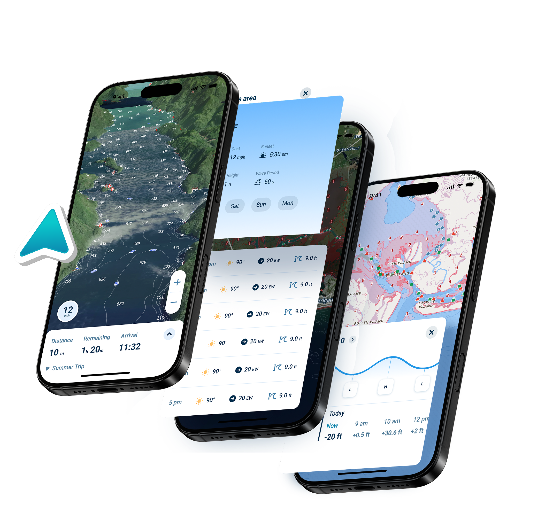
With Wavve Boating you can:
- Navigate effortlessly. View the current water level, easily see shallow areas and avoid other dangers in real time.
- Mark areas of interest on the water, and then share them with the community. We’ve found some great fishing spots and even boat-accessible restaurants using the app.
- View tide height, weather, and more…like satellite layers, dark mode, and innovative auto-routing which feels just like using google maps.
C-Map and Navionics are both excellent options for navigation, but it’s important to remember that they aren’t the only options. For more info, be sure to check out this great article about how to choose a marine gps app.
FAQs
What’s The Difference Between C-Map Reveal vs Navionics Platinum?
C-Map Reveal and Navionics Platinum both offer exceptionally detailed charts.
Along with nautical charts, Navionics Platinum offers:
- Sonar Chart HD bathymetry
- Dock-to-dock route guidance
- Live mapping
- Plotter sync
- A variety of overlays, including satellite imagery, relief shading and sonar imagery
- 3D view
- Satellite photos
- More
C-Map Reveal offers similar features, but it also has:
- Free Easy Routing
- Dynamic raster charts
- Tides and currents
- More
Reveal charts are available for coastal regions as well as lakes.
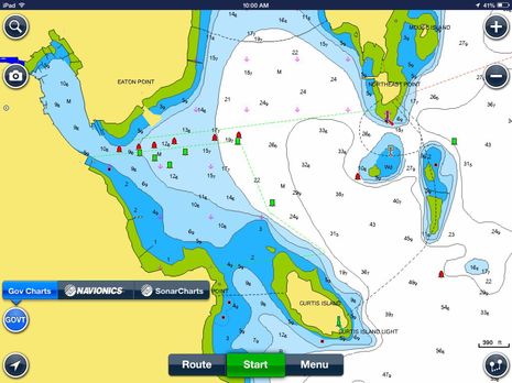
What’s the Difference Between Navionics vs Navionics HD?
Navionics provides an HD bathymetry map through its Sonar Chart offering, delivering far more detailed bottom contours than the standard Navionics charts. This enhanced detail helps boaters better identify shallow areas and navigate safely. It’s suitable for both marine and freshwater lakes, making it easier to locate fishing spots at various depths.
Navionics HD is available for use on both plotters and mobile devices. Many users, including myself, prefer the mobile version on an iPad because the larger screen makes it easier to see all the high-definition features compared to a smaller smartphone display.
The app is intuitive and user-friendly, seamlessly connecting to your sonar or plotter via Wi-Fi or through a Wi-Fi-enabled router, making setup straightforward and convenient.
Why Mobile Marine Navigation Can Be a Game-Changer
Using mobile devices for marine navigation has transformed how boaters plan and execute trips. Mobile apps like Navionics HD or Wavve Boating give you access to high-definition charts, real-time water conditions, and route planning all from a tablet or smartphone. Larger screens, such as an iPad, make it easier to read intricate bathymetric details, identify shallow areas, and spot fishing hotspots. Mobile connectivity also allows for seamless integration with sonar and plotters via Wi-Fi, giving you the flexibility to navigate safely and efficiently without being tethered to a traditional chartplotter.
This placement naturally introduces the advantages of mobile navigation while flowing directly from the discussion of Navionics HD features.
What’s The Difference Between C-Map Insight Pro Vs Navionics?
There are quite a few differences between the Insight Pro version of C-Map vs Navionics. Insight Pro integrates data from GoFree Lake Insight charts, which offers:
- C-Map high-res bathymetric chart detail
- Inland navigation with Lake Insight HD
- Satellite overlays
- Harbor and ports database
- Easy routing option for quicker navigation
Insight Pro was designed for use with Simrad and Lowrance models as either embedded cartography or an extra option.
Navionics has inland content for more than 44,000 lakes, along with a slew of other features. Insight Pro, on the other hand, only adds GoFree Lake Insight charts data.
Still need help deciding on a Marine Navigation app? Check out our guide on how to choose a marine GPS app, or this article on the basics of marine navigation!


