How To Choose a Marine GPS App
A GPS is a near-essential piece of equipment for boating, but buying and installing a standalone GPS is an expensive proposition. Even when bought second-hand, the cost to install is an inconvenience. This is why boaters across the world are turning to their mobile devices to navigate by app.
If you’ve turned to the Apple App Store or Google Play for a convenient solution to marine navigation, you know you’ve got plenty of powerful apps to choose from. Making the right choice is a tough call to make confidently. For some boaters, Navionics free navigation app might be the perfect fit. Others might find the cost of maps and charts too expensive and elect for more accessible options.
If you’re thinking about navigating your boat by app, we’re here to help you pick the solution that works best for you.
Why Do You Need A GPS on Your Boat?
Depending on where you’re boating, you might feel comfortable heading out without a navigation system. Even so, familiar waterways can still present unexpected hazards, and having a GPS or other navigational aid makes it much easier to stay on course and avoid potential trouble. Beyond improving safety, a GPS also helps you discover new routes and explore more of your favorite lakes, rivers, or coastal waters.
Key Features to Look for in a Marine GPS App
Not every marine GPS app offers the same capabilities, so it’s worth comparing features before choosing one. Look for offline charts so you can continue navigating without a cellular signal, GPS tracking for accurate positioning, and regularly updated charts that reflect changing waterways and navigational markers. Many boaters also appreciate weather forecasts, tide information, route planning, and the ability to save favorite spots or fishing locations. If you frequently boat with others or own compatible electronics, features like location sharing, AIS integration, and chart plotter connectivity can also add value. By focusing on the features that match how you use your boat, you’ll have an easier time finding an app that improves both safety and convenience on the water.

Picking the right boating navigation app
Know your needs and make a short-list
Consider what you like to do on the water, then what you need from an app to do it successfully.
If you spend most of your time fishing, you may want an app that focuses on depth markers and underwater contouring. If you are into water sports, then easy navigation and highlighted shallow areas could be all you need. Or maybe you enjoy cruising, seeing sights, and meeting up with others on the water. In that case, an app that allows you to see other boaters or interesting locations might be a good fit for you.
Take advantage of free trials.
Nearly all navigation apps offer free or reduced-rate trials, allowing you an opportunity to try before you buy. When signing up for a trial, make sure you give yourself plenty of time to get out on the water with the app.
Consider multiple apps
Often, one app just isn’t enough to meet all our needs, wants, and expectations. It’s better to have multiple apps dedicated for different purposes. Even paying for 3 or 4 apps is cheaper than a traditional chart plotter!
Navigating Marine GPS Apps
Navigation apps worth exploring
Start your search for the best app for you by exploring these options:
Navionics
Navionics is one of the biggest names in marine navigation and the most popular among boaters. They have been a leader in standalone marine GPS devices for a long time and brought their charts to a mobile app. They utilize vector charts and allow users to connect to some chart plotters.
Their charts contain depth markers, buoys, beacons, bathymetry, relief shading, terrain, AIS, and more. All of that information is displayed on one map, so you may need to take time to learn how to read all the data and symbols to take away valuable information.
A Navionics subscription starts at $20.99 for nautical charts of the USA and has additional costs if you want charts of other regions.
iNavX
One of the most popular handheld chart plotter apps is iNavX. They support one of the broadest selections of chart providers, with maps covering most of the globe from providers ranging from Navionics to NOAA. You can perform simple navigation tasks or more complex functions like connecting to AIS and compatible shipboard instruments via WiFi.
These features take some time to get used to, and some have found it overly complicated, but it is still a strong contender for a navigation app. Get iNavX for $29.99, billed annually. You can also purchase individual charts for an additional cost.
Wavve Boating
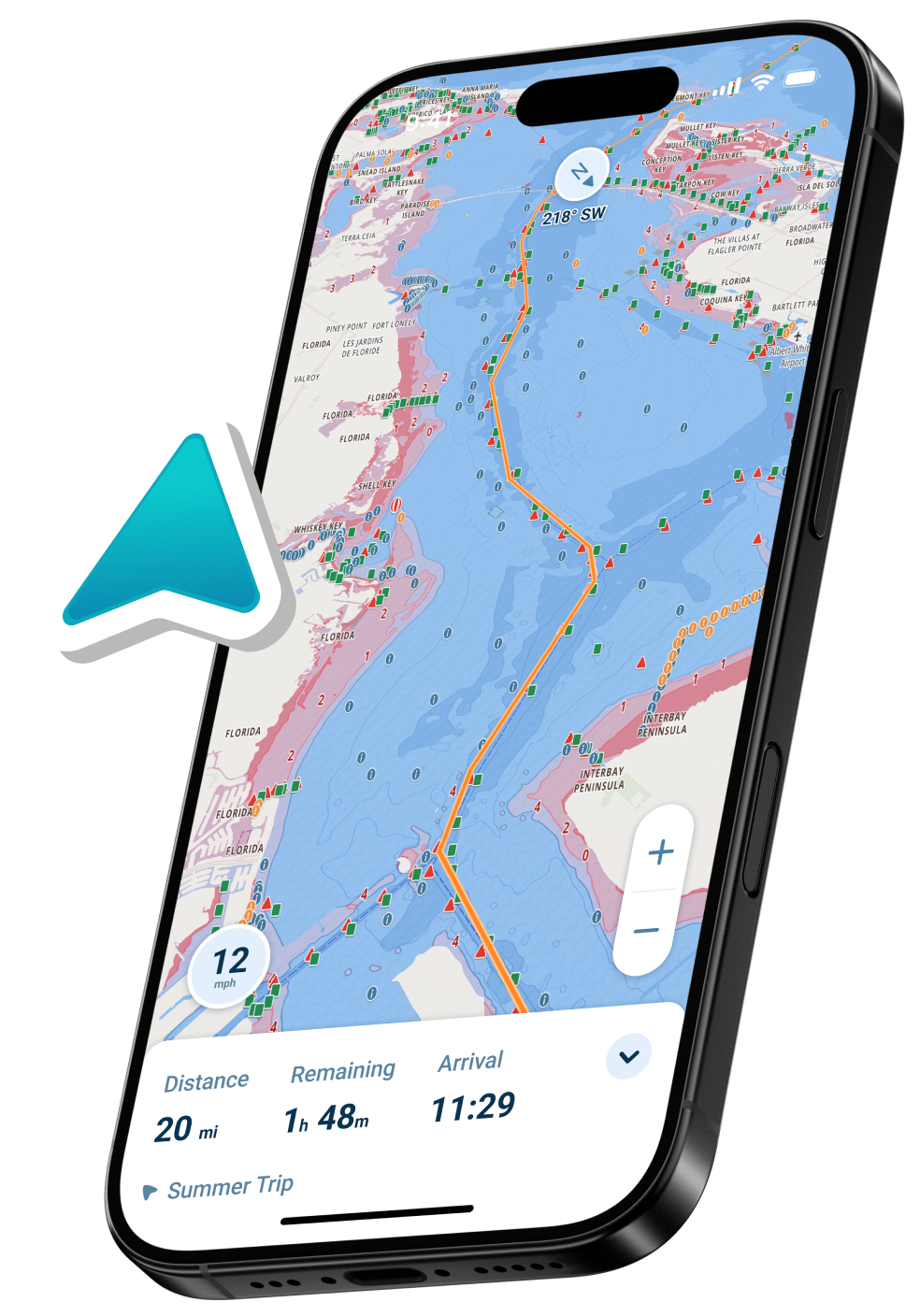
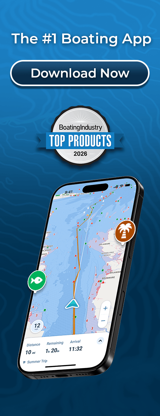
If you want an intuitive, easy-to-use interface from your navigation app, Wavve Boating is for you! We put critical features like depths, buoys, tides, and weather forecasts front and center and made it easy to use them. In addition to navigation features, Wavve Boating focuses on creating a boating community.
Wavve Boating’s map is shared between users, so you can find your friends on the water and share your location, favorite spots, and activities. With a focus on the critical information the average boater needs on the water, you may want a supplemental app if you are interested in more complex chart data.
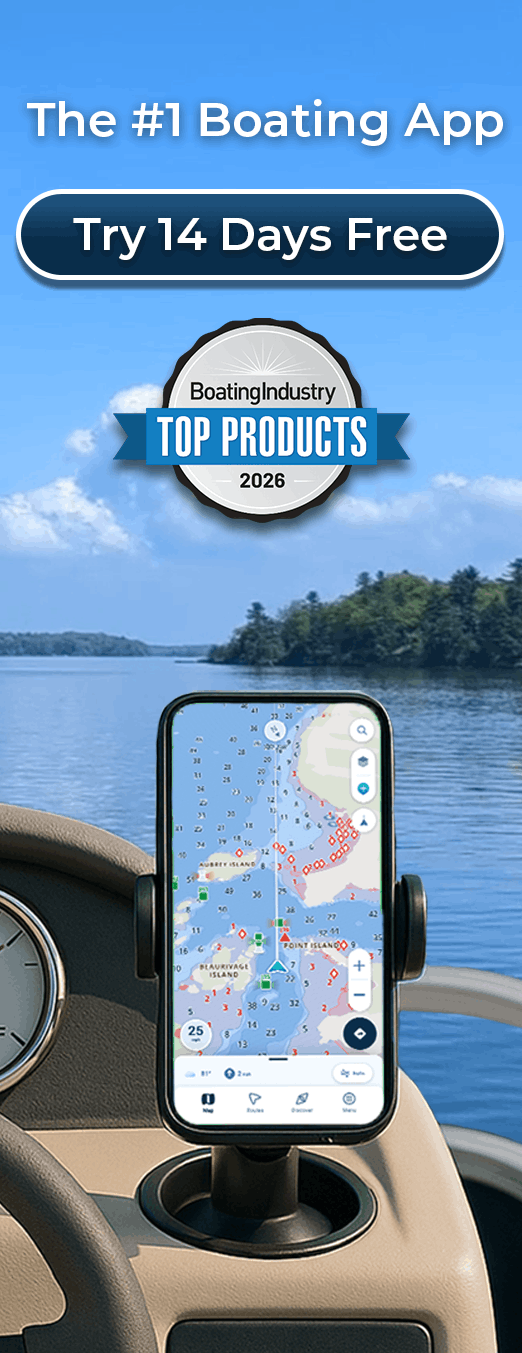
Wavve Boating is available via two subscription options of $4.99/month or $19.49/year. New users are offered a 14 day trial to see if the app is a fit for them.
Boat Beacon
Looking for a boating navigation app that offers AIS?
Consider Boat Beacon! Connected to one of the largest networks of AIS shore receivers, Boat Beacon displays the positions of nearby ships in real-time. Covering most major ports, harbours, and popular coastal areas – Boat Beacon’s functionality rivals built-in AIS systems, fits in your pocket, all for under $30!
Boat Beacon is available on iOS and Android for $14.99 USD.
More apps to explore
Exploring every marine navigation app in a single blog article is too much for any reader, so we won’t try here!
If you’re looking to dig deeper into the apps available for marine navigation, take advantage of the wealth of consumer information available online to pick the one best for you. We’ve put together a few powerful sources to help:
Boats.com – An authority in all things boat-related, Boats.com writes an annual article exploring boating navigation apps. Hand-selected by the editors of BoatUS Magazine, 2020 picks are sure to help you find the app best for you!
Appgrooves – A publisher of the top apps in each industry, Appgrooves list of boating apps is updated every year to reflect newcomers to the market. They have just updated this article for their 2021 picks.
About Wavve Boating
If you want to learn more about Wavve Boating, you can find detailed information on our website and our listings on the Apple Store and Google Play! If an intuitive user experience is something you value from your marine navigation app, consider downloading our app for a free trial. Get out on the water, and see if you like it.