The Miami to Bimini crossing represents one of the most popular short international boating trips for Florida-based boaters. At approximately 48 to 55 nautical miles depending on your exact departure and arrival points, the crossing offers a manageable day-trip distance for most vessels while delivering the excitement of international cruising. However, the journey demands respect. The Gulf Stream’s powerful current, unpredictable weather, and Bahamas entry requirements create challenges that careful planning addresses successfully.
Hundreds of boaters make this crossing annually. Many describe the trip as the perfect introduction to offshore boating and international travel. Bimini’s world-class fishing, beautiful beaches, friendly Bahamian culture, and excellent facilities make it a rewarding destination justifying the journey. This comprehensive guide covers everything you need for a safe and genuinely enjoyable Miami to Bimini boat crossing.
Understanding the Crossing Distance and Duration
The Miami to Bimini distance varies based on your specific departure and arrival points within each area.
Direct distances:
From Haulover Inlet near Miami Beach to Bimini’s Alice Town, the direct distance runs approximately 48 nautical miles. From Government Cut near downtown Miami, the distance increases slightly to around 50 nautical miles. Routes via Cat Cay or Great Isaac add 5-10 nautical miles depending on conditions and preferences.
Actual crossing time:
Crossing duration depends primarily on your boat’s speed and actual sea conditions. A 25-knot boat in calm conditions completes the journey in approximately 2-2.5 hours of running time. A 15-knot boat requires 3-3.5 hours. A slow 10-knot displacement boat faces a 5+ hour journey. Reality complicates these estimates. Running with a following sea might improve times. Running into waves reduces speed and comfort significantly.
Most boaters budget 4-8 hours total for the crossing including acceleration from Miami area departures and deceleration approaching Bimini. Conservative planning assumes slower actual speeds than theoretical maximums.
Tidal effects and current:
The Gulf Stream current significantly affects actual crossing time. Running with the current on your return journey can improve speeds measurably. Running against the Gulf Stream current on outbound journeys effectively reduces your boat’s speed through water substantially. Understanding current direction before departing helps you plan realistic crossing times.
Choosing Your Route: Direct vs. Alternative Options
Several routes offer different advantages depending on your boat, conditions, and preferences.
Direct Miami to Bimini route:
This most common route departs from Haulover Inlet, Government Cut, or staging areas in Biscayne Bay. You head due east-northeast directly toward Bimini. The direct route offers the shortest distance and straightforward navigation. The primary challenge is crossing the Gulf Stream directly at its widest part off Miami. Strong currents can push your boat significantly north if you don’t compensate properly.
Routes via Cat Cay or Great Isaac:
Some boaters depart south toward Cat Cay first, then make the shorter crossing to Bimini. This routing reduces the strongest Gulf Stream effects. The Cat Cay route takes longer overall but offers easier Gulf Stream crossing conditions. Cat Cay’s private community rarely welcomes transiting boaters, but the island serves as a navigation reference point.
Great Isaac Light lies northeast of Bimini. Some routes pass north of Bimini via Great Isaac, though this adds distance and complexity.
Choosing your specific route:
Most recreational boaters choose the direct route for simplicity. Direct routing minimizes distance and planning complications. The direct route works well for boats with reasonable speed and good navigation capability.
Consider alternative routes if weather appears marginal or your boat operates slowly. Extra distance sometimes proves worthwhile if conditions are challenging.
Crossing the Gulf Stream: The Critical Variable
The Gulf Stream represents the biggest variable affecting your Miami to Bimini crossing. Understanding and planning for this powerful current separates comfortable crossings from stressful ones.
Gulf Stream characteristics:
The Gulf Stream flows northward at average speeds of 2-4 knots. The current’s boundaries aren’t precisely defined. The stream’s edges show variable behavior. Velocity increases within the stream’s center and decreases at its boundaries. The Gulf Stream can shift position seasonally and even daily based on wind and pressure systems.
The stream’s width off Miami spans approximately 30-50 nautical miles depending on season and conditions. You cannot avoid the Gulf Stream on a Miami to Bimini crossing. You must plan your course accounting for its effects.
Current set and drift:
The Gulf Stream pushes your boat northward. If you maintain a direct eastern heading, the current’s northerly component “sets” you north of your intended track. Your boat moves northeast rather than east. Failing to account for this current means arriving at Bimini’s northern end rather than your intended landing spot.
Compensation strategies:
The solution is simple but requires precise execution. Aim your boat south of your target destination to compensate for northward current. For example, if your destination is Bimini’s Alice Town, head toward a point 5-10 nautical miles south of your destination. The Gulf Stream current pushes you north while you travel east, resulting in arriving at your intended destination.
Exactly how much compensation to apply depends on current strength and your crossing time. Weak currents (2 knots) over a 3-hour crossing push you 6 nautical miles north. Strong currents (4 knots) over the same duration push you 12 nautical miles north. Adjust your heading accordingly.
GPS and navigation aids:
Modern GPS shows your actual position constantly. Monitor your track throughout the crossing. If you’re tracking north of your intended route, adjust your heading southward to compensate. Conversely, if tracking south of your intended route, adjust northward. Using GPS feedback allows real-time correction maintaining your desired track.
Some modern navigation apps provide automatic compensation for known currents. If your app includes Gulf Stream information, use this feature for improved accuracy.
Identifying Ideal Crossing Conditions
The Gulf Stream crossing becomes dangerous quickly in marginal conditions. Recognizing good windows separates successful crossings from expensive rescues.
Ideal weather conditions:
Winds should remain under 15 knots. Stronger winds create larger seas. Seas should measure under 4 feet. Larger seas make the crossing uncomfortable and potentially dangerous for smaller boats. Barometric pressure should be steady or rising. Falling pressure indicates approaching weather. A clear forecast showing stable conditions for at least 8 hours ensures the safest crossing.
Worst conditions to avoid:
Strong northerly winds create steep seas as they push against the Gulf Stream current. Southeasterly winds can create confused seas combining Gulf Stream swell with wind-driven waves. Tropical storms and hurricanes obviously require cancellation. Rapidly falling barometer indicates deteriorating conditions ahead.
Best times for crossings:
Early morning departures take advantage of overnight forecasting. You complete the crossing during daylight hours with better visibility and rescue capability if needed. Summer afternoon thunderstorms can develop quickly. Morning departures minimize afternoon storm risk.
Check forecasts from multiple sources. NOAA provides forecasts. Windy and PredictWind offer detailed marine forecasts. Understanding consistent forecast predictions from multiple sources increases confidence in your departure decision.
Navigation Tools and Route Planning
Modern tools make Miami to Bimini navigation straightforward.
Electronic chart options:
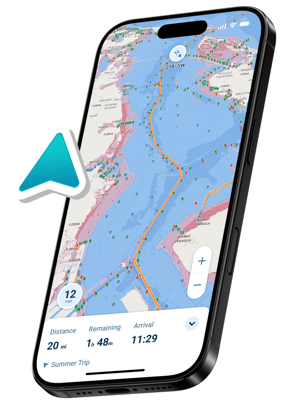
Dedicated chartplotters remain the gold standard for marine navigation. Garmin, Raymarine, Lowrance, and Simrad offer excellent options. However, modern mobile navigation apps provide comparable functionality at lower cost with automatic updates and real-time features. Many cruisers use mobile apps as primary navigation for short crossings like Miami to Bimini.
Creating waypoints and routes:
Mark Haulover Inlet or Government Cut as your departure waypoint. Create waypoints for your destination (Alice Town or Government Dock in Bimini). Some boaters mark intermediate waypoints at 10-nautical-mile intervals. Create a route connecting these waypoints. Your navigation system guides you automatically from waypoint to waypoint.
Gulf Stream consideration in routing:
Mark your compensation waypoint south of your true destination. Your route should direct you to this compensation point. Once you reach the compensation waypoint, the Gulf Stream’s current pushes you north to your final destination.
Cross-referencing navigation systems:
Carrying backup navigation increases safety. Use both a dedicated chartplotter and a mobile navigation app. If one system fails, you have backup navigation capability. Multiple navigation sources also allow confirming your position from multiple systems.
Bahamas Customs and Entry Requirements
You must clear Bahamas Customs and Immigration upon arrival. Understand requirements before departing Miami.
Required documents:
All passengers require valid passports. Expired passports don’t work. Children need passports separate from parents. Boat documentation or registration must be available. Proof of boat insurance is recommended. Some boaters carry customs declarations prepared in advance.
Bahamas cruising permit:
A Bahamas cruising permit is required for all foreign private pleasure vessels entering Bahamian waters. You can apply online in advance or in person upon arrival. Permits are now tiered by vessel length and duration: a 30-day permit starts at $150 for boats up to 30 feet and rises to $600 for vessels over 100 feet, with 6-month and 12-month options available at higher cost for longer stays or repeat visits. Completing the process in advance allows clearing customs more quickly upon arrival.
Customs clearance locations:
Multiple locations in Bimini accept customs entries. Bimini Big Game Club offers formal customs clearance with reasonable fees. Government Dock in Alice Town provides customs facilities. Brown’s Marina provides alternative clearance options. All three locations charge reasonable fees (typically $25-75 depending on party size and vessel size).
Clearing customs smoothly:
Have all documents organized before arriving. Present passports, boat documentation, and cruising permits promptly. Expect routine questioning about cargo, animals, and previous ports. Customs officials appreciate organized, cooperative boaters. The process typically requires 30-60 minutes but sometimes extends longer if officials conduct thorough inspections.
Important restrictions:
Bahamas law prohibits discharge of sewage and strict garbage disposal rules apply. Respect these environmental regulations. Certain fish and marine species are protected. Understand regulations before fishing. Drones face restrictions in Bahamian airspace.
Marinas, Facilities, and Services in Bimini
Understanding available services helps you plan your Bimini stay.
Bimini Big Game Club Resort & Marina:
This is Bimini’s premier full-service facility offering fuel, transient slips, restaurants, and accommodations. They handle customs clearance professionally. Slip fees are reasonable. They offer excellent fishing guides and deep-sea fishing services. This location attracts many cruisers and charter boats making it the most crowded option during peak season.
Weezies Bimini Dock:
Casual, budget-friendly docking option in Alice Town. More relaxed atmosphere than Big Game Club. Limited facilities but adequate for casual cruisers. Local management provides good information about Bimini services.
Brown’s Marina:
Good alternative for transient boats. Smaller than Big Game Club, less crowded. Fuel, water, and basic services available. Friendly staff offers local knowledge and suggestions.
Fuel and supplies:
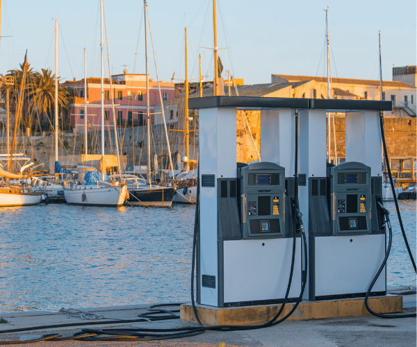
Fuel prices in Bimini run significantly higher than Florida prices due to import costs. Budget approximately 20-30% premiums over Florida fuel costs. Groceries, water, and supplies are available but pricier than stateside. Bring supplies you anticipate needing to keep expenses down.
Safety Considerations and Practical Preparations
Treating a Miami to Bimini crossing as a serious offshore journey ensures safety.
Filing a float plan:
Tell someone ashore your departure time, boat description, registration number, intended route, and expected arrival time. Provide regular updates via phone or radio. If you don’t arrive as expected, your contact knows to alert authorities. This simple precaution saves lives if problems develop.
Communication equipment:
A working VHF radio remains essential. Cell phone coverage extends surprisingly far offshore but isn’t reliable. A satellite communication device (Garmin InReach, SPOT, etc.) allows two-way communication regardless of cell coverage. Some boaters carry backup communication via ham radio.
Safety equipment:
Life jackets for all passengers. Life raft (recommended for longer offshore trips). Flares and signaling devices. First aid kit. Fire extinguishers. Emergency repair kit with spare impeller, belts, and basic tools. Fresh water supplies beyond anticipated needs. Extra fuel beyond consumption estimates.
Medical considerations:
No hospitals exist in Bimini. Serious medical emergencies require evacuation to Florida. Ensure all passengers are healthy. Bring medications in original containers. Know the closest medical evacuation procedures.
Mechanical readiness:
Verify your boat’s mechanical systems before departure. Change oil and filters if needed. Inspect belts and hoses. Test all fuel systems. Verify through-hull fittings are secure. Inspect propeller for damage. Start engine and verify cooling water circulation and exhaust flow. These inspections prevent breakdowns leaving you disabled in the Gulf Stream.
Weather monitoring:
Continue monitoring weather throughout your crossing. VHF radio broadcasts National Weather Service updates hourly. Your chartplotter or navigation app should include weather display. Turn back immediately if conditions deteriorate beyond your comfort level. No fishing trip or destination justifies risking your boat and life.
FAQ
How long does the Miami to Bimini crossing take?
Typically 4-8 hours depending on boat speed and sea conditions. Faster boats complete crossings in 2-3 hours of actual running time. Slower boats require 5+ hours. Budget extra time for Miami area navigation and Bimini arrival procedures.
What is the best time of year for this crossing?
December through April offers most stable weather. Avoid hurricane season (June-November). Summer afternoon thunderstorms can develop quickly. Winter cold fronts sometimes bring strong north winds creating rough conditions. Consult seasonal weather patterns before planning.
Do I need a passport for Bimini?
Yes. All passengers require valid U.S. passports. Children need separate passports from parents. Expired passports don’t work for international travel.
Is the crossing safe for smaller boats (under 25 feet)?
The crossing is achievable in boats 20+ feet with proper planning and good weather conditions. Smaller boats face greater risk if conditions deteriorate. Conservative planning and good weather windows are essential for small boat safety.
What happens if my boat breaks down crossing the Gulf Stream?
Call for assistance immediately via VHF radio or satellite communication device. U.S. Coast Guard maintains active rescue coordination centers. Commercial salvage services operate in the area. Stay calm, don’t panic, and seek help promptly.
What should I bring to Bimini?
Passport, boat documentation, cash (USD widely accepted), sunscreen, snacks, extra fuel, water, and any medications. Fuel and supplies are available but more expensive than Florida. Pack adequately.
Can I make this crossing in a sailboat?
Yes, though diesel or gasoline sailboats make the journey easier. Sailing vessels depend on wind availability. Calm winds result in slow crossings. Sailboats cross successfully regularly but require additional time and flexibility.
What do I do if I get seasick?
Medication before departure helps. Focus on the horizon. Stay hydrated. Some people acclimate within the first hour. If severe, consider canceling the crossing and trying again another day.
Are there alternative destinations closer to Miami?
The Dry Tortugas, about 70 nautical miles southwest, offers beautiful diving and history. However, the longer distance makes it a more challenging crossing. The Florida Keys offer excellent boating closer to shore. Bimini remains popular due to its combination of reasonable distance, excellent facilities, and Bahamian charm.
Should I hire a captain to make the crossing?
Some boaters hire experienced captains for their first crossing. This provides peace of mind and learning opportunity. However, many recreational boaters successfully make the crossing themselves with proper planning and attention to weather.
Conclusion
The Miami to Bimini crossing represents an achievable, rewarding journey for prepared boaters. Respect the Gulf Stream’s power, plan for adequate weather windows, and don’t cut corners on safety equipment or preparation. Hundreds of boaters make this crossing annually successfully.
The combination of exciting offshore boating, international cruising experience, and Bimini’s outstanding attractions make this crossing memorable. With proper planning, good weather timing, and attention to safety considerations, your Miami to Bimini adventure will become a treasured boating memory.