
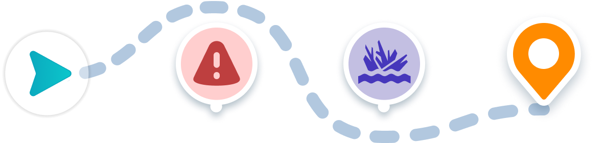
Navigation Features
Find the best route from any starting point and avoid obstacles while boating to this destination.
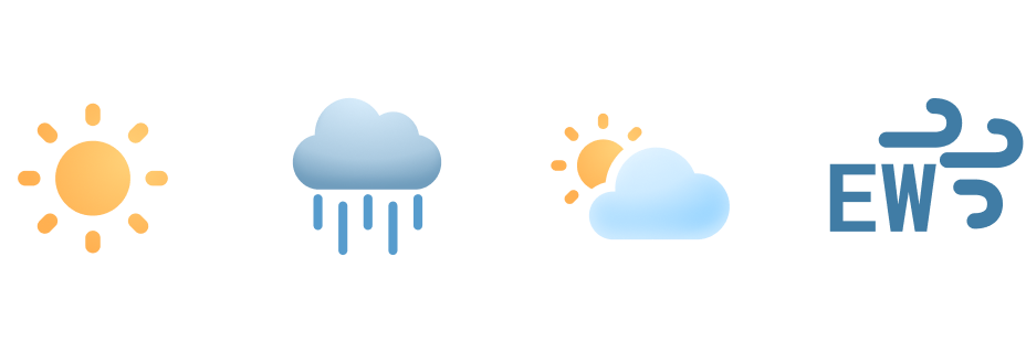
Weather Forecast
Plan ahead with wind speeds, wave heights, and hourly forecasts.
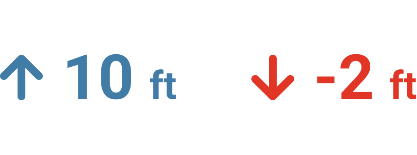
Tidal Conditions
See current water depths and preview high and low tide in this area.

Start your Boating Journey
Chesapeake Bay Boating Guide
Situated at the mouth of Chesapeake Bay, between Cape Charles and Cape Henry, lies a prime destination for recreational boaters seeking adventure and tranquility. This renowned waterway offers an array of opportunities for boating enthusiasts, from thrilling fishing expeditions to serene cruising experiences. Boaters navigating Chesapeake Bay will discover a diverse marine ecosystem teeming with life, including redfish, spadefish, flounder, striped bass, and white perch.
With its varying depths and abundant marine life, Chesapeake Bay serves as a premier boating destination, catering to both novice and experienced boaters alike. Whether casting a line for a prized catch or simply cruising along its scenic shores, the bay offers endless possibilities for exploration and enjoyment. Boaters can rely on navigational aids and maps to chart their course through this expansive waterway, ensuring a safe and memorable journey through one of the best boating destinations on the East Coast.
#ChesapeakeBay #Norfolk #NorfolkBoating #Virginia #Fishing #BoatingGuide
Boating to Chesapeake Bay
Discover how to get to Chesapeake Bay by boat with ease in the Wavve Boating App. You can also check local weather, water depths, and boating conditions to help plan your next trip. Easily see how to get to Chesapeake Bay from Richmond and other popular areas right from your phone.
See how to get directions to Chesapeake Bay and other top boating destinations with the easiest boat navigation app.


