
Navigation Features
Find the best route from any starting point and avoid obstacles while boating to this destination.

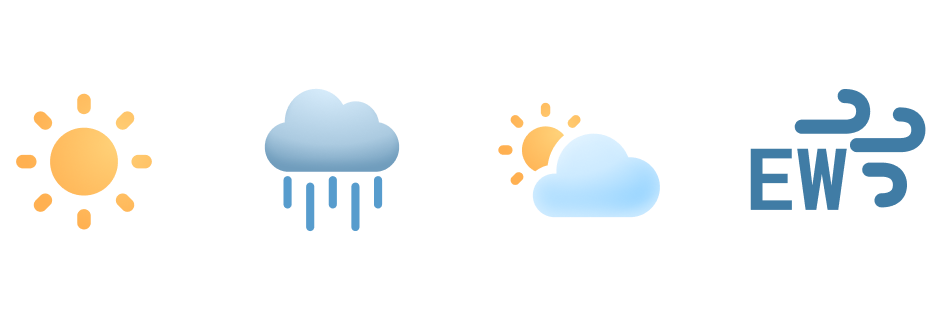
Weather Forecast
Plan ahead with wind speeds, wave heights, and hourly forecasts.
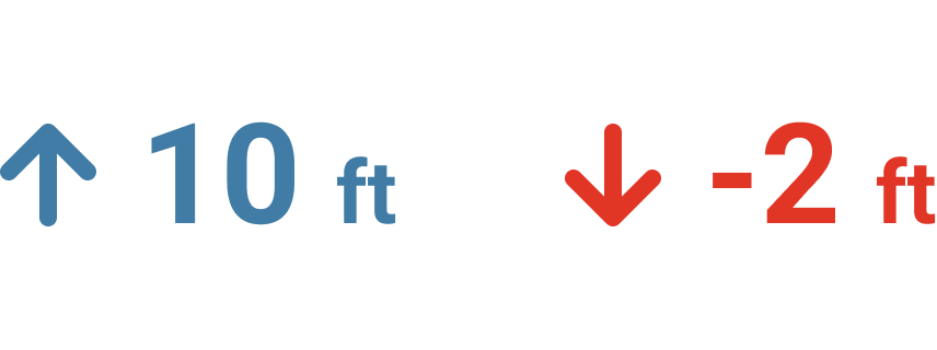
Tidal Conditions
See current water depths and preview high and low tide in this area.

Start your Boating Journey
Chisholm Boat Ramp Boating Guide
Explore the Chisholm Boat Ramp, your gateway to the best boating destination in St. Cloud, Florida. This concrete ramp, located within Ralph V. Chisholm Regional Park, offers convenient access for all recreational boaters. Use our guide to maximize your experience with boat navigation tips and local insights.
You’re greeted with moderate parking and restrooms, making it easy to launch your boat and hit the water. The park features beautiful scenery and calm waters, perfect for fishing, kayaking, or a relaxing day on the lake. Be sure to check your maps in the Wavve Boating App for detailed waterways and fishing hotspots.
Boaters recommend arriving early to secure a good spot. If you’re docking, look for designated areas near the ramp; anchoring is permitted but ensure you’re clear of busy channels. Remember to watch for local wildlife and follow all boating regulations.
View location, maps, and more boater reviews in the Wavve Boating App for an unforgettable adventure!
Boating to Chisholm Boat Ramp
Discover how to get to Chisholm Boat Ramp by boat with ease in the Wavve Boating App. You can also check local weather, water depths, and boating conditions to help plan your next trip. Easily see how to get to Chisholm Boat Ramp from Orlando and other popular areas right from your phone.
See how to get directions to Chisholm Boat Ramp and other top boating destinations with the easiest boat navigation app.


