
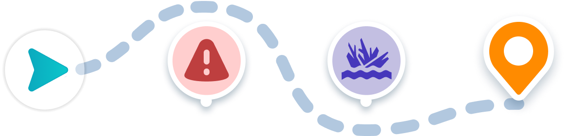
Navigation Features
Find the best route from any starting point and avoid obstacles while boating to this destination.
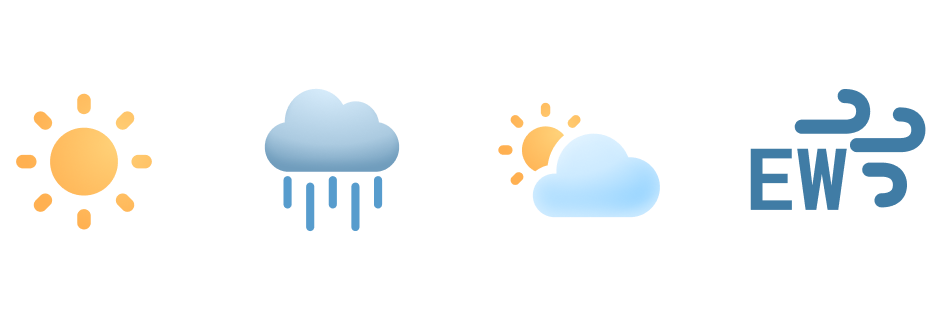
Weather Forecast
Plan ahead with wind speeds, wave heights, and hourly forecasts.
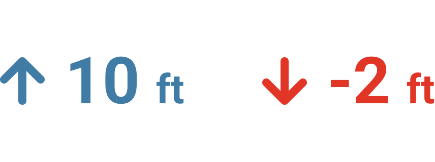
Tidal Conditions
See current water depths and preview high and low tide in this area.
Start your Boating Journey
Coronado Shores Boat Ramp Boating Guide
Discover the Coronado Shores Boat Ramp in beautiful Coronado, California, your perfect guide for boat navigation to one of the best boating destinations in the area. Located at Glorietta Bay Park, this ramp offers ample docking and parking for easy access. With nearby restrooms, it ensures a comfortable visit for your recreational boating adventures.
The park features stunning views of San Diego Bay, making it ideal for a day on the water. Boaters recommend visiting early for a quieter experience and suggest staying close to the shorelines for the best sights. When anchoring, be mindful of local wildlife and respect no-wake zones. Many users highlight the smooth launch experience and friendly atmosphere, perfect for families and seasoned boaters alike.
Explore a variety of nearby places to boat, from scenic coastlines to secluded beaches. To navigate to this amazing location, check the map on the Wavve Boating App for the best route. Join the community of satisfied boaters and plan your visit today!
Boating to Coronado Shores Boat Ramp
Discover how to get to Coronado Shores Boat Ramp by boat with ease in the Wavve Boating App. You can also check local weather, water depths, and boating conditions to help plan your next trip. Easily see how to get to Coronado Shores Boat Ramp from San Diego and other popular areas right from your phone.
See how to get directions to Coronado Shores Boat Ramp and other top boating destinations with the easiest boat navigation app.


