The Most Downloaded Boat Navigation App
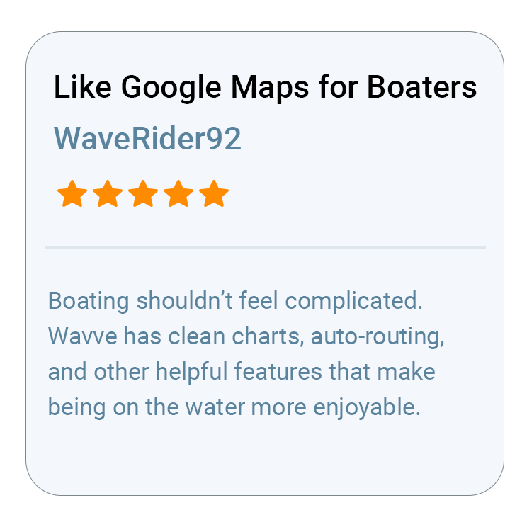
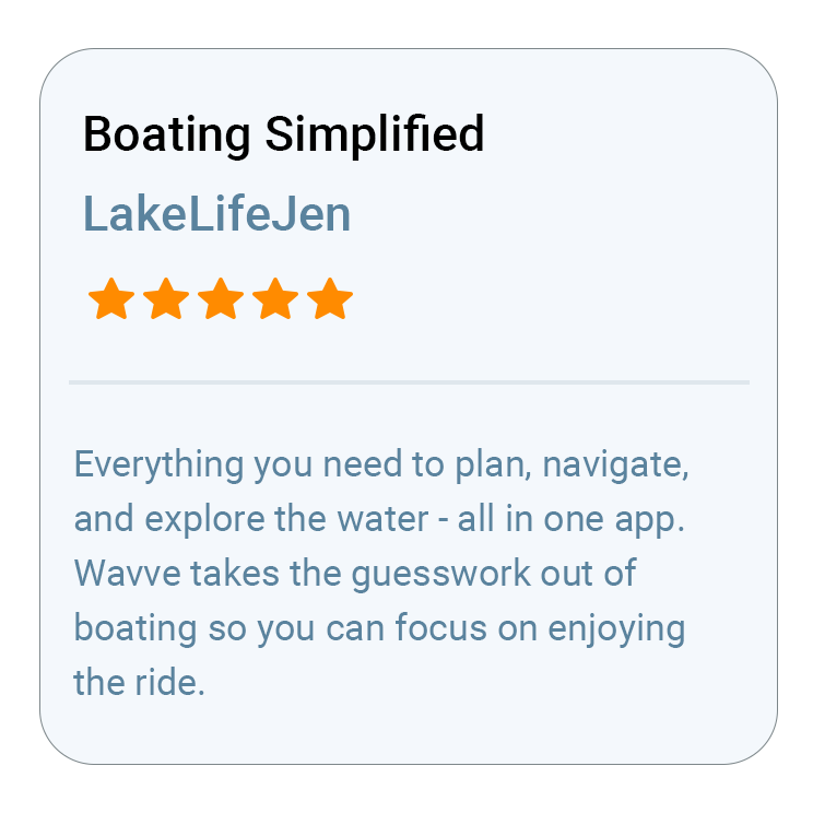
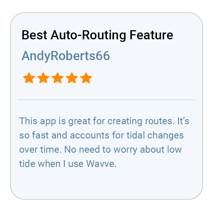
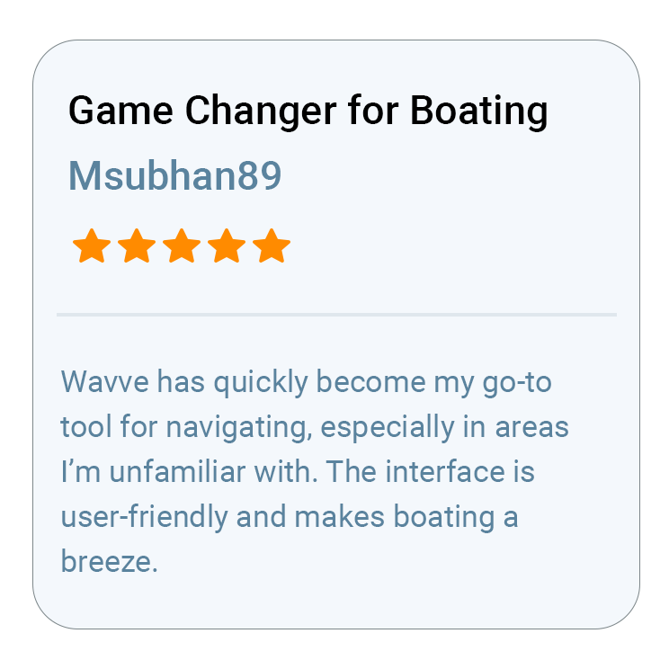
Top Rated Boating App
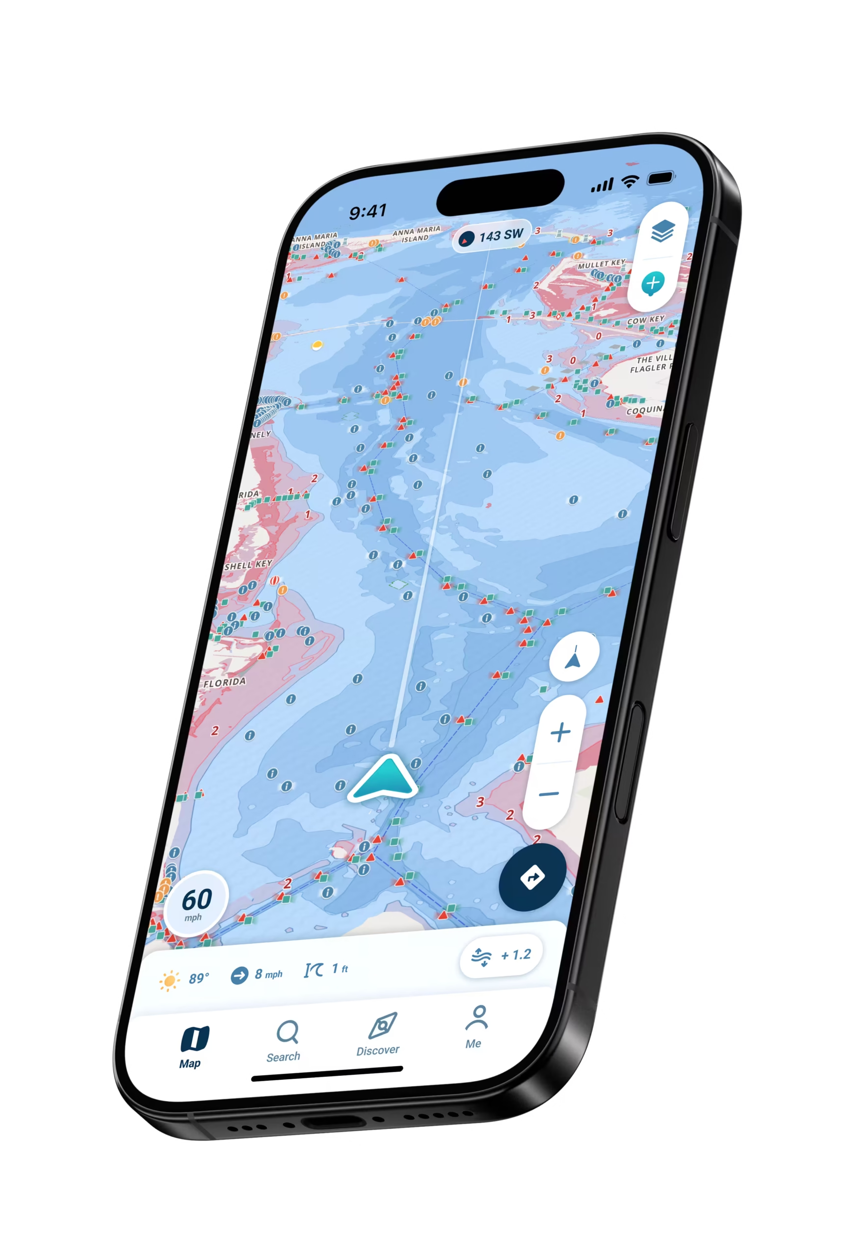
Spot potential hazards on a map tailored to your boat’s draft. View accurate depths with charts that adjust to real-time tides.
See where other boaters go and mark your own points of interest – there’s always something new to explore.
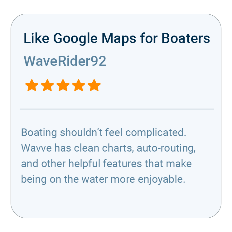
It’s like Google Maps for boating!
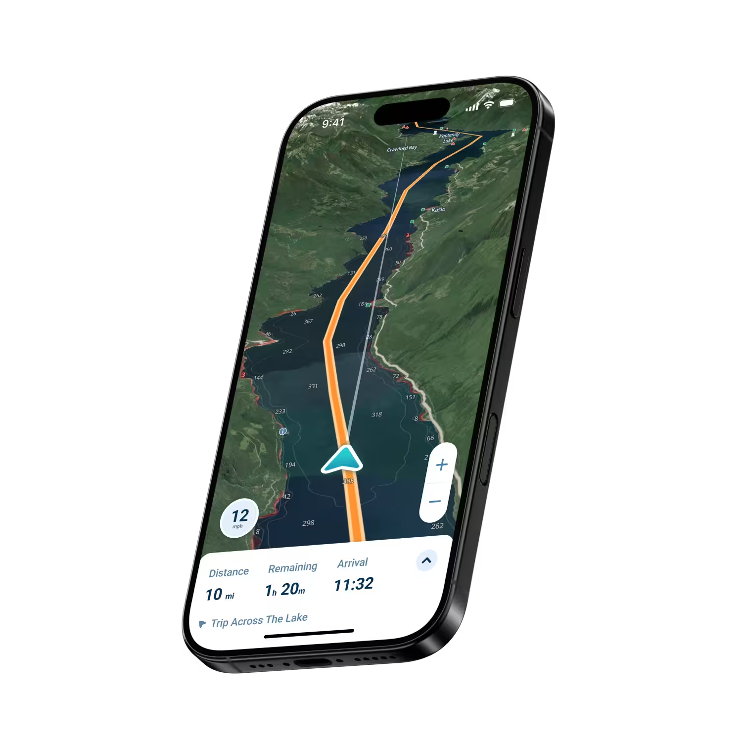
Safe, fuel-efficient routes make it easy to visit your
favorite spots.
Real-time weather, wind, and wave forecasts with interactive overlays so you can plan smarter and boat safer.
Connect your phone to your SeaDoo and use Wavve Boating’s industry-leading mobile experience on the built-in display.
Start Your Boating Journey
Join thousands of boaters using Wavve Boating to explore, plan, and navigate with confidence.