
Navigation Features
Find the best route from any starting point and avoid obstacles while boating to this destination.

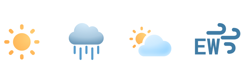
Weather Forecast
Plan ahead with wind speeds, wave heights, and hourly forecasts.
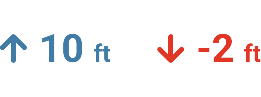
Tidal Conditions
See current water depths and preview high and low tide in this area.

Start your Boating Journey
Mayport Boat Ramp Boating Guide
Mayport Boat Ramp is a key access point for boaters looking to explore the St. Johns River and the nearby Atlantic waters. Located in Jacksonville’s historic Mayport area, this well-maintained ramp provides ample parking, multiple launch lanes, and easy access to prime fishing and cruising spots. Anglers frequent this ramp for its proximity to inshore and offshore fishing grounds, where species like redfish, flounder, and king mackerel are abundant. Use the Wavve Boating App to plan your route and discover the best nearby fishing and boating locations. Whether you’re heading out for a day on the river or an offshore adventure, Mayport Boat Ramp is a convenient and popular choice for Jacksonville boaters.
Boating to Mayport Boat Ramp
Discover how to get to Mayport Boat Ramp by boat with ease in the Wavve Boating App. You can also check local weather, water depths, and boating conditions to help plan your next trip. Easily see how to get to Mayport Boat Ramp from Jacksonville and other popular areas right from your phone.
See how to get directions to Mayport Boat Ramp and other top boating destinations with the easiest boat navigation app.


