Can a Boating App Replace a Chartplotter on Your Boat?
Some recreational boaters use Wavve as their primary navigation tool, and others run it alongside the chartplotter already at the helm. Both setups are common, and the right one for you depends on what your boating asks of the app against what it provides.
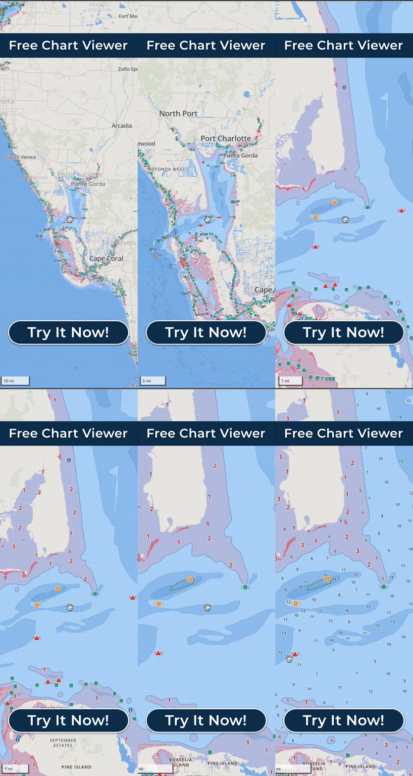
On the phone or tablet you already own, Wavve covers what most recreational boaters need. It shows a chart customized to your boat’s draft and shades the water that may be too shallow. Dynamic Depths adjusts charted depth for tides and water levels, AutoRouting plans a course in three modes that each account for your draft, and Manual Routing lets you set your own waypoints. An hour-by-hour marine weather and wind forecast runs seven days out, and once you download an area with Offline Maps the charts and your GPS position keep working with no cell signal. You can record a trip and review your speed along the route afterward. Because it is software, your account and routes carry over when you change boats, and you can plan at home on the bigger screen of the Free Web Chart Viewer, where routes and recordings sync to your account.
Wavve is a navigation aid and planning tool, meant to be used alongside prudent seamanship, current conditions, and applicable official navigation requirements. It is not an official nautical chart, and its own map-data terms state that it does not comply with federal chart carriage requirements. It does not connect directly to a chartplotter, it carries no AIS or marine-traffic layer, and it is built for recreational boaters, not commercial ships, luxury yachts, busy commercial harbors, or long passages, cases where the company says another solution may fit better. AutoRouting runs on Wavve’s servers, so a route has to be built before signal drops.
Run recreationally on water Wavve charts and it can be your primary tool, and some boaters use it that way. Rely on AIS marine-traffic tracking and you keep the tool that provides it, with Wavve riding along for planning, conditions, and a backup in the pocket. A boater who already runs a chartplotter tends to find Wavve earns its place as the planning tool before a trip and quick access to conditions and local information. For boaters who keep both, a route built in Wavve exports as a GPX file, and whether the chartplotter opens it depends on that device’s support for the format.