What One Affordable Wavve Boating Membership Includes
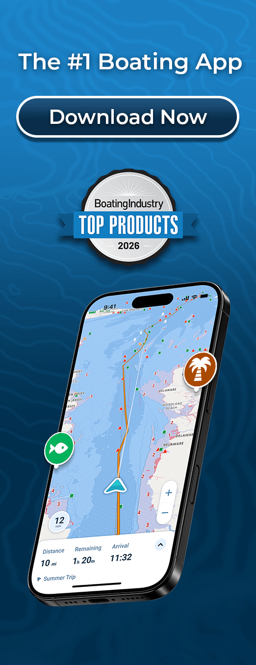
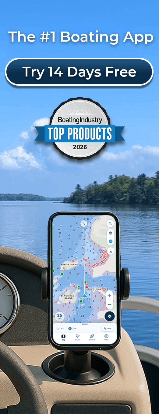
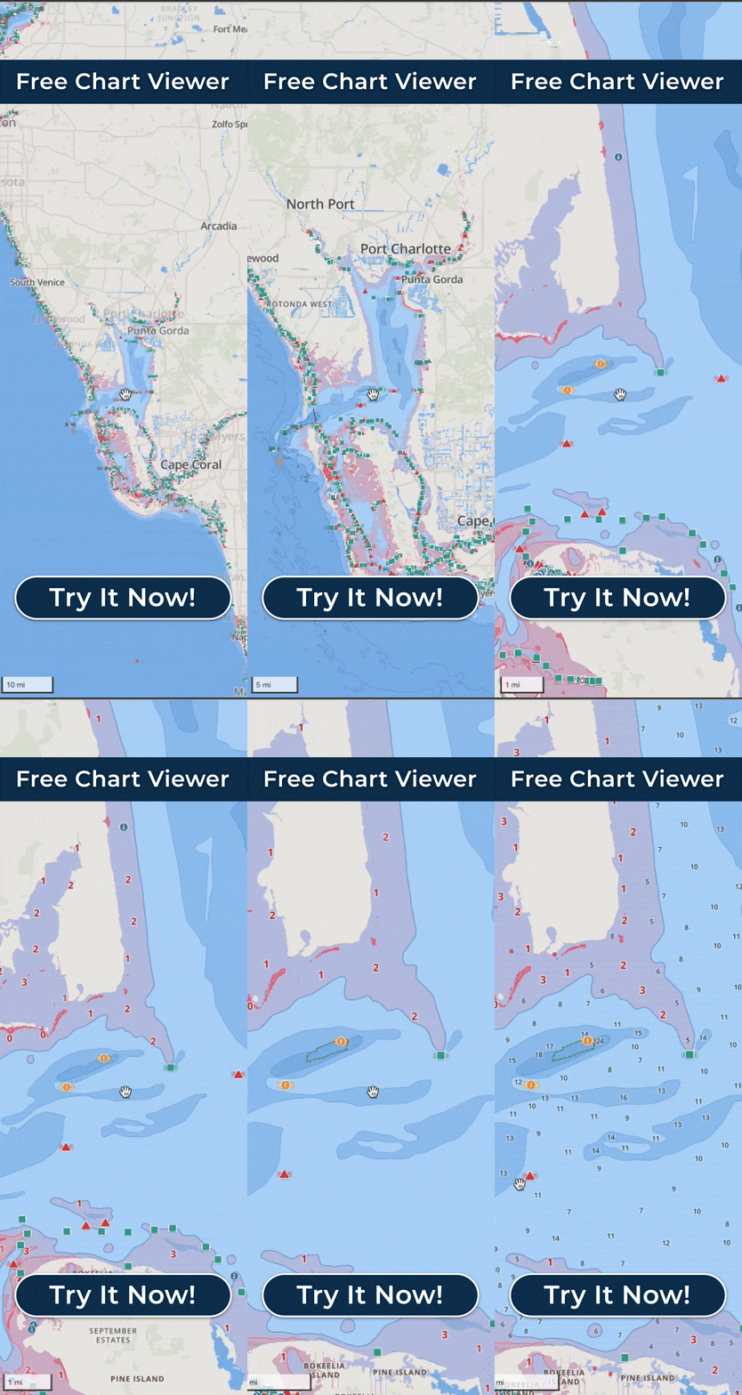
A Wavve Boating membership is a single price that covers the whole app. The nautical charts come first, drawn from official and third-party sources and stitched into one continuous map that spans your whole coverage area rather than one region at a time. Depth shading is customized to your boat’s draft, and Dynamic Depths keep it current as tides and water levels change, so what you read reflects today’s water instead of a static chart. Planning a run leans on AutoRouting, which lays a course around obstacles and through channels using water depths, with every routing mode accounting for your draft, and Manual Routing is there when you would rather place your own waypoints. Conditions come through a marine weather and wind forecast, broken down hour by hour across a seven-day outlook, with wave height and wind shown on the map. Offline Maps hold the charts and your GPS position once an area is downloaded, so a lost signal does not blank the screen partway through a trip. Community Wavve Points mark marinas, fuel, ramps, beaches, and hazards, you can save private and shared spots of your own, and Trip Recordings log a run with Speed Graphs to study afterward. You can search by keyword or coordinates, drop a pin, and save a Home Port, and the Discover tab surfaces the popular and newly added places other boaters are marking. The map stays easy to read at a glance, with shallow water shaded red and iconography that looks like the real-world objects it represents, so a boater who never wanted to learn a chartplotter can still follow it. All of it runs across iPhone, Android, phones and tablets, with the Apple Watch as a companion that buzzes a haptic shallow-water warning on your wrist, and your account and saved routes follow you from one boat to the next. The costs that catch boaters out on cheaper apps are not here. There is no chart pack to buy on top of the membership and no region priced separately. A core navigation feature is never held back for a higher tier. The genuinely free pieces stay free, since the Free Web Chart Viewer opens the charts and plans a route in a browser with no account, and a free trial on the Annual membership lets you run everything before you pay. Coverage is not universal, so the last step before you join is to check your own water on the coverage map, and request it if it is not there yet.