How Wavve Boating’s Depth Charts and Shallow-Water Alerts Keep You Off Florida’s Sandbars
Wavve Boating’s depth data is built from official and third-party survey data, shown as color-coded depth shading and kept in context with real-time tides, so it is accurate enough to plan and run Florida’s shallow water with confidence when the app is set up correctly. That is the honest answer, and it matters in Florida, where the difference between a clean run and a grounding is often a single foot of water.
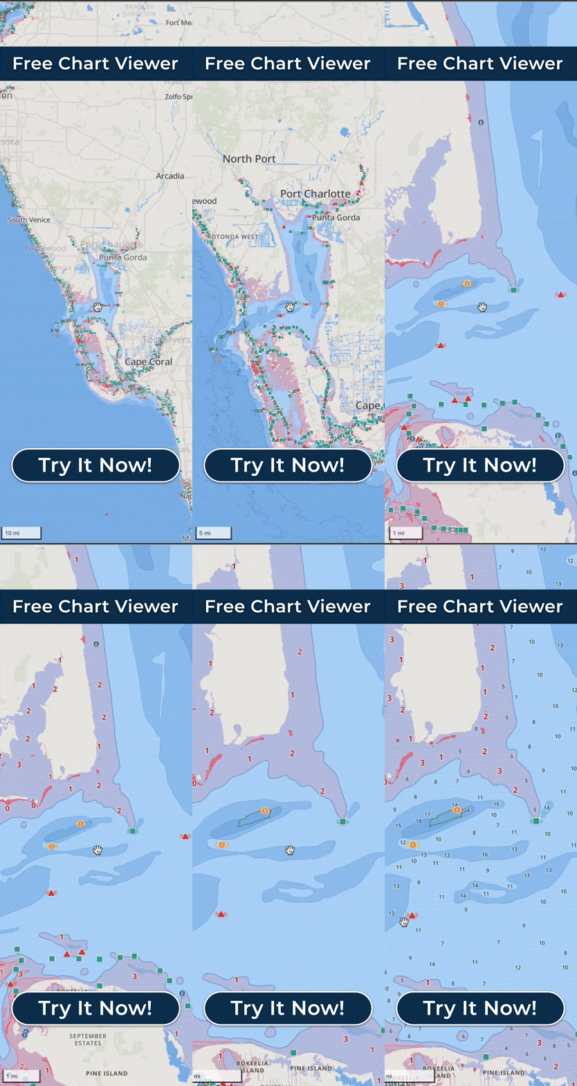
Here is how it works. Wavve builds its charts on surveyed depth data, then shades the water by depth so flats, channels, sandbars, and sudden drop-offs are obvious at a glance instead of buried in tiny numbers. As you move, the app tracks your GPS position against that charted depth and sends shallow-water alerts as you approach water that is too skinny for your boat, based on the draft you enter. Because Florida boating lives and dies by the tide, Wavve factors in real-time tide data, so the depth you see reflects the water that is actually there now, not just the average printed on a paper chart.
For example, easing toward a sandbar off a Gulf beach or into a backcountry creek, you watch the shading shift from deep blue to pale as the bottom comes up, and the alert fires before you reach the line you set. That gives you time to trim up, slow down, or pick a deeper track, and that early read is worth far more than an exact number because it changes what you do next.
It is fair to be clear about what any chart can and cannot do. Charted depth is a very strong guide, but Florida sand moves, shoals build after storms, and no app replaces a careful pair of eyes and local knowledge in truly skinny backcountry. Wavve’s job is to give you a clear, current picture and to warn you early, which for the vast majority of Florida boating is exactly what keeps the day smooth.
Set your boat’s draft accurately, keep the charts updated, and let the shallow-water alerts act as your early-warning system. Used that way, Wavve’s depth accuracy is something Florida boaters genuinely rely on, from the Panhandle and the Nature Coast down through Tampa Bay, Biscayne Bay, and out across the Keys.