Check Wavve Boating’s Chart Coverage for Your Water Before You Pick a Boat Navigation App
Wavve Boating’s chart is assembled from more than 20,000 nautical charts combined into one seamless map across its supported regions, plus chart data for thousands of lakes. The data comes from official and third-party sources. Key providers include the National Oceanic and Atmospheric Administration in the United States and the Canadian Hydrographic Service, alongside additional public and private data sources. Coverage arrives in licensed batches and individually sourced lakes, and new bodies of water are added regularly.
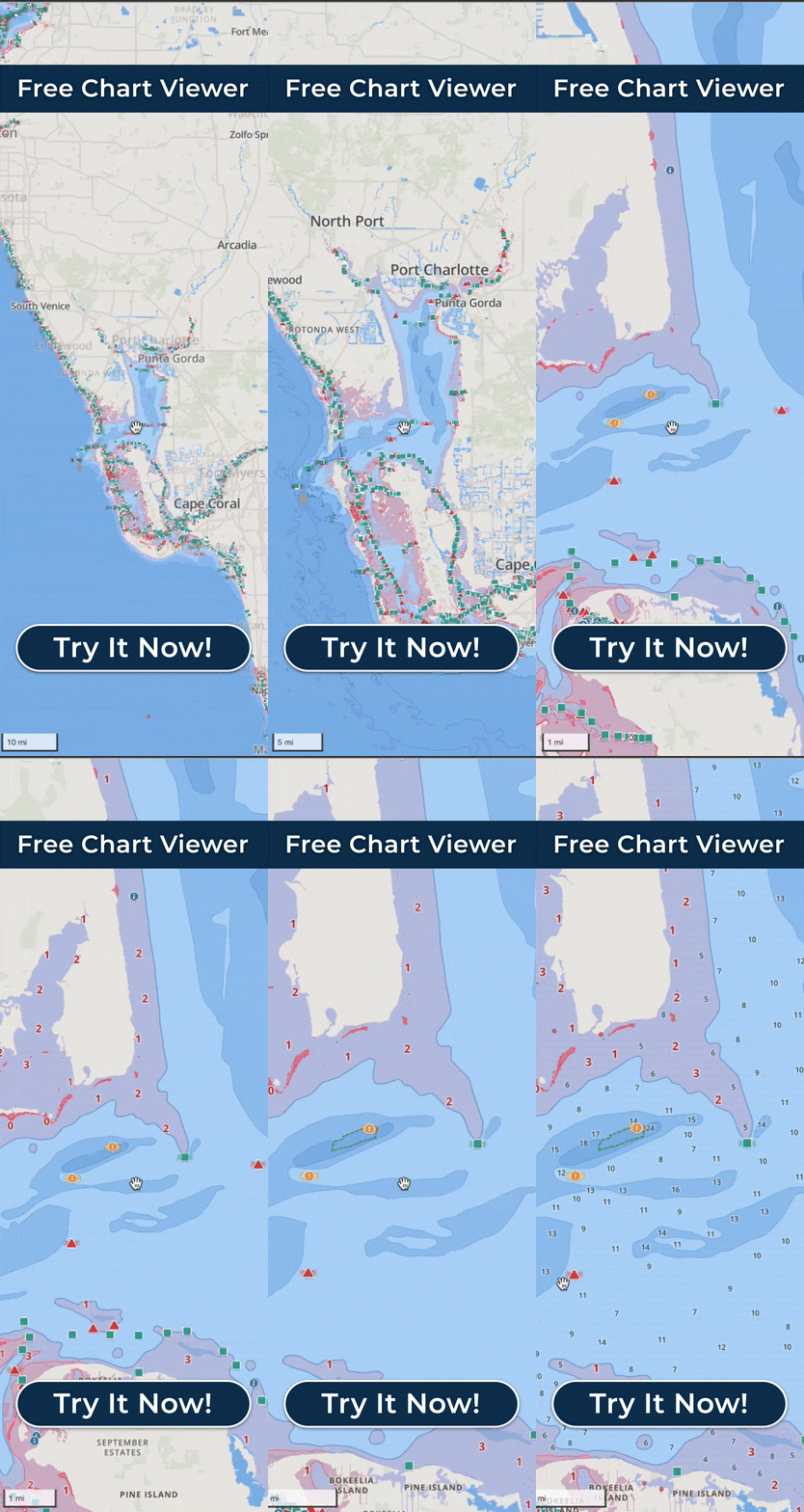
On Wavve’s interactive coverage map, which anyone can check before buying, any water inside a light-blue or dark-blue polygon has Wavve chart data, and the map is updated as new data is released. The Free Web Chart Viewer runs in a desktop or laptop browser and opens the charts themselves with no app or account needed, so you can look at a specific bay, reservoir or stretch of river before you download anything.
A region name alone is not enough to go on, because Wavve’s own guidance is that coverage varies within each listed region and should not be read as complete coverage of every waterway or area. Depth detail also varies by body of water and by data source, and some inland areas may have limited or no chart or depth data.
In the United States, the named regions include the Great Lakes, the Maine and New England coast, Cape Cod, Nantucket and Martha’s Vineyard, Long Island Sound and New York Harbor, Chesapeake Bay, the Atlantic Intracoastal Waterway, the Florida Keys and Florida coast, the Gulf Coast, and Puget Sound and the U.S. West Coast. Inland, Wavve has chart data for lakes such as Lake of the Ozarks, Lake Murray, Lake Norman, Lake Lanier, Lake Powell and Lake Winnipesaukee. In Canada the list runs from the St. Lawrence River and the 1000 Islands to the Trent-Severn and Rideau waterways, Georgian Bay and the British Columbia coast.
If your water sits outside the polygons, the app still runs there with less to work from. The map shows the outline of the lake or river and GPS keeps tracking your position, but there is no nautical data, which means no depth shading for your draft and no AutoRouting on that water.
If your water is missing, you can request it. Wavve’s Mapping team triages coverage requests, and Customer Success contacts the boater when that water becomes available. Those requests, along with customer feedback and surveys, help shape what gets built. Customer Success answers email seven days a week, all year, and aims to reply within 24 hours.