Wavve Boating’s Draft-Based Red Shading for Boaters Still Learning to Read Charts
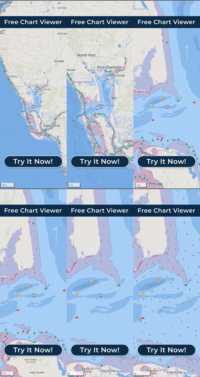
Whether water is too shallow for a boat depends on how the charted depth compares with that boat’s draft, the vertical distance from the top of the water to the bottom of the hull, so the same depth means something different for every boat. Wavve Boating settles the comparison for you: you enter your boat’s draft in the app, and the map shades red the water that may be too shallow for that draft, so a new boater sees which spots are a problem for their own boat without working out the arithmetic sounding by sounding.
Wavve’s founder, Adam Allore, worked at marinas and watched boaters struggle to read charts, run into unexpected shallow water and come back with damaged lower units. His own boat had a three-foot draft, so he built a map that simply showed the water too shallow for it.
Behind the red shading sits chart data drawn from official and third-party sources, and the depth detail available varies by body of water and data source. The app reads charted depth against the draft you entered. Deep and shallow water are drawn to be easy to tell apart at a glance and to stay clear in bright sunlight, so the red areas for your draft are easy to pick out.
Dynamic Depths combines charted depth with your draft and with local water-level or tide information where it is available, so the map better reflects water that changes with tides and seasonal levels. In tidal areas the daily high and low tides are shown as well. These updates depend on water-level data existing for that spot and may need a connection to refresh, and where no station is nearby you can adjust the water level manually.
Underway, the phone app gives shallow-water alerts, and those warnings adjust to the same draft you entered, so an alert is set for your boat rather than a generic depth. With an Apple Watch paired to the Wavve iPhone app, that warning also arrives as a haptic tap on your wrist. Ask AutoRouting for a course and it uses that same draft in every AutoRoute Mode, considering channels, obstacles and water depths.
Wavve’s depth picture is chart-based: it is not sonar or a depth sounder, and it does not measure or guarantee the exact depth beneath your boat. It is a navigation aid that makes shallow areas and potential hazards clearer, used alongside your own eyes and current conditions.