How Wavve Boating Shows the Shallow Water for Your Specific Boat
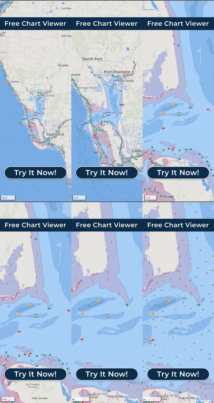
Enter your boat’s draft and Wavve Boating shades the chart red wherever the water may be too shallow for your hull. Draft is the vertical distance from the waterline to the bottom of your boat, and it is the number the shading answers to: the same stretch of chart shows different red to a shallow-running skiff and to a deeper cabin cruiser, because each sees the water that matters to its own hull.
Founder Adam Allore grew up on the St. Lawrence River near Kingston, Ontario, and the first version of the app highlighted water too shallow for his own boat, which drew about three feet.
The depth under the shading starts from charted soundings. Through the feature Wavve calls Dynamic Depths, those soundings are combined with your draft and with local water-level or tide information from more than 2,000 water-level stations, so the picture reflects the day’s conditions rather than a fixed charted value. In tidal areas you also see the daily high and low tides, and the shading updates as those levels change through the day; where no station is close enough, you can set the water level by hand. It stays a chart-based planning picture, since Dynamic Depths is not sonar and does not read the exact depth beneath you, and its accuracy depends on the chart and water-level data for your area, which on some inland waters is limited or absent. Checking your water on the coverage map or the Free Web Chart Viewer first is worth the minute, and the water-level side can need a connection to refresh.
On screen, the red keeps deep and skinny water easy to separate at a glance, and it holds up in bright sun. You can adjust the depth contour colors and the sounding size, and switch between Default, Dark, and Satellite map styles. Wavve can also warn you as the water thins, with the alert tuned to the draft you entered, and an Apple Watch paired to the iPhone app passes that warning to your wrist as a haptic tap, handy when your eyes are on the water ahead.
Use the shading as a planning aid alongside prudent seamanship and a real look at the water. It is most useful on water you do not know yet, such as a new lake, a rented boat or the first run of the season.