Digital Crown Map Control and Haptic Shallow-Water Warnings in the Wavve Boating Apple Watch App
The Wavve Boating Apple Watch app lets you control the map with the Digital Crown while moving and sends haptic warnings when you approach water that may be too shallow for your draft. It is a companion to the Wavve Boating app on iPhone and does not work on its own. A compatible Apple Watch needs to be paired with an iPhone that has the Wavve Boating app installed. The watch app is available as part of the Wavve Boating app on iOS.
Wavve Boating designed the watch app for moments when using a phone is not practical, such as when you are moving or have your hands on the wheel. Digital Crown map control lets you adjust the map by turning the crown instead of reaching for your phone. Wavve Boating describes this as precise, tactile control that stays reliable in wet or rough conditions. It also helps when your iPhone is mounted at the helm out of reach. You can keep your attention on your surroundings while you still interact with the map.
The haptic shallow-water warnings are tied to the draft you enter, which Wavve Boating defines as the vertical distance from the waterline to the bottom of your boat. As you approach an area that may be too shallow for that draft, your Apple Watch sends a haptic alert to your wrist. You can notice the warning without looking at a screen or reaching for your phone, helping you keep your focus on operating your boat. Check that the draft you entered matches your boat before you head out, because the watch warnings adjust to that number.
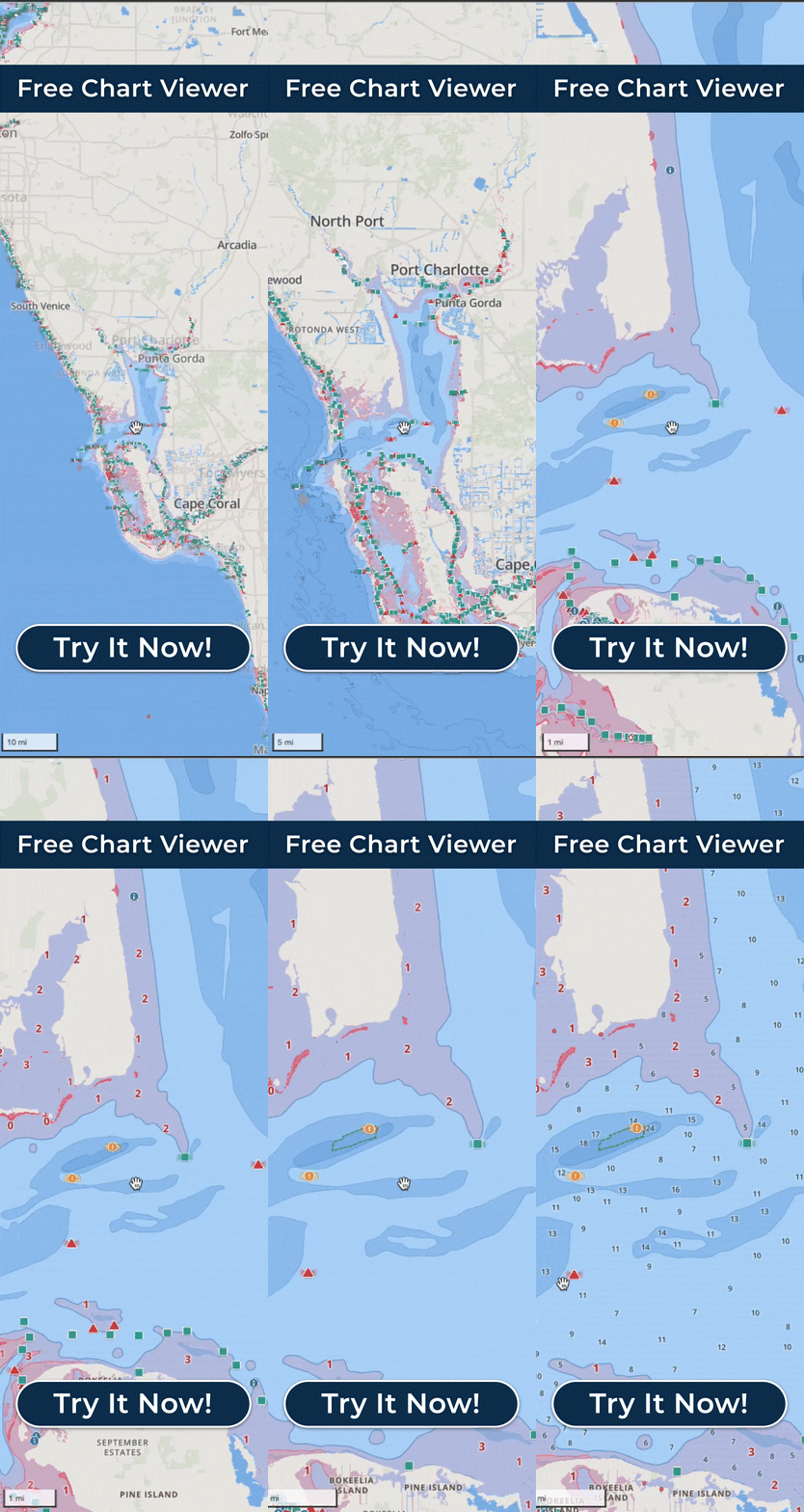
The same shallow-water alerts are part of the iPhone app, so an Apple Watch is an added way to receive them rather than a requirement. On the iPhone, red shading on the Wavve Boating Map marks areas that may be too shallow for that same draft.
The watch warnings, like the red shading, work from charted depth information and the draft you entered, so they are not a guarantee of the exact depth beneath your vessel. Coverage and available depth detail vary by body of water and data source, so check the area on wavveboating.com/map before you boat somewhere new.
The Apple Watch app changes where you receive this information, not what the app is for. Treat each warning, and each stretch of water without one, as one input alongside what you can see around your boat. Wavve Boating should be used as a navigation aid and planning tool alongside prudent seamanship, current conditions and applicable official navigation requirements.