Real Marine Navigation Without a Chartplotter
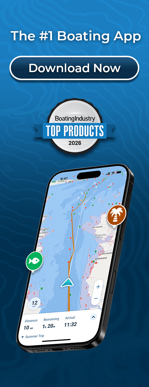
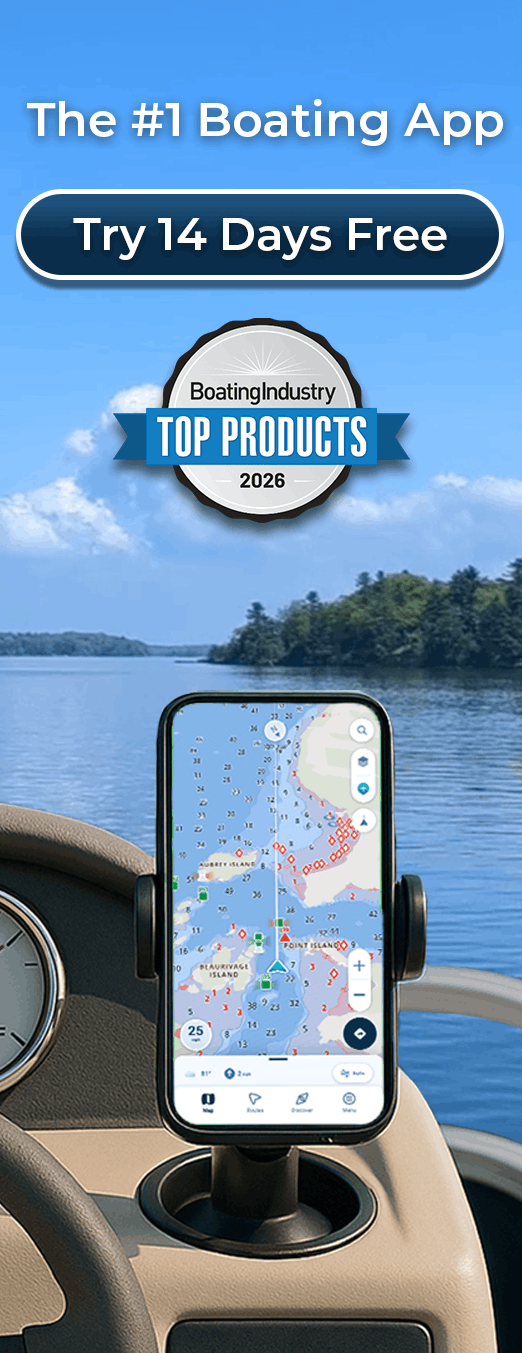
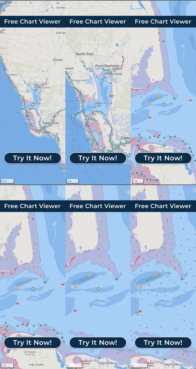
You get real marine navigation with Wavve Boating without buying a chartplotter, because the app turns the phone or tablet you already own into the chart, the depth picture, and the route you follow on the water. Your live GPS position sits on nautical charts built from official and third-party sources, and because the depth shading is keyed to the draft you enter, the shallow water turns red on the map while you still have room to steer clear. Planning a run, you can build an AutoRoute between two points that works around obstacles and through channels and accounts for your boat’s draft, then follow it turn by turn on the water. Along the way you drop Wavve Points on ramps, fuel docks, and the spots worth remembering, and you watch marine weather and wind hour by hour across a seven-day forecast. Download an area with Offline Maps and the charts and your position stay with you when the signal does not. It helps to know that a cellular connection is not the same thing as GPS, so a GPS-capable device still fixes your position with no service at all, which is exactly the situation most boaters worry about. All of that is the same core work a dedicated plotter does, running on hardware you did not buy or install. The honest question is whether a phone is really enough, and for everyday recreational boating it generally is, because the everyday recreational boater is exactly who Wavve was built for. The app comes along when you switch boats or climb onto a rental, and it keeps getting better without a hardware upgrade, where a plotter stays wired to the one helm it was mounted on. Owning a chartplotter does not rule Wavve out either. Plenty of boaters run it as a second screen for planning from the couch, for a fast look at conditions, and as a backup in a pocket when the fixed unit acts up. For some it is the main way they navigate and for others it rides along with the electronics already aboard. The point under all of it is that choosing the app is not choosing a lighter version of navigation. The charts, the draft-based depth, the routing, the weather, and the offline maps all live in one membership, with no regions or features to unlock later, so the phone already in your hand does the work a day on the water asks of it.